Oakville in St. Louis County, Missouri — The American Midwest (Upper Plains)
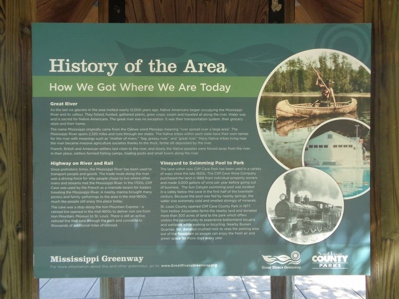
History of the Area
How We Got Where We Are Today
— Mississippi Greenway —
As the last ice glaciers in the area melted nearly 12,000 years ago, Native Americans began occupying the Mississippi River and its valleys. They fished, hunted, gathered plants, grew crops, swam and traveled all along the river. Water was and is sacred for Native Americans. The great river was no exception. It was their transportation system, their grocery store and their home.
The name Mississippi originally came from Ojibwe word Messippi meaning "river spread over a large area." The Mississippi River spans 2,320 miles and runs through ten states. The Native tribes within each state have their own names for the river with meanings such as "mother of rivers," "big, greasy river," and "great river." Many Native tribes living near the river became massive agriculture societies thanks to the thick, fertile silt deposited by the river.
French, British and American settlers laid claim to the river, and slowly the Native peoples were forced away from the river. In their place, settlers formed fishing camps, trading posts and small towns along the river.
Highway on River and Rail
Since prehistoric times, the Mississippi River has been used to transport people and goods. The trade route along the river was a driving force for why people chose to live where other rivers and streams met the Mississippi River. In the 1700s, Cliff Cave was used by the French as a riverside tavern for traders traveling the Mississippi River. A nearby marina brought many picnics and family gatherings to the area in the mid-1800s, much like people still enjoy this place today.
The cave was a stop along the Iron Mountain Express - a railroad line opened in the mid-1800s to deliver iron ore from Iron Mountain, Missouri to St. Louis. There is still an active railroad line that runs through the park and connects to thousands of additional miles of railroad.
Vineyard to Swimming Pool to Park
The land within now Cliff Cave Park has been used in a variety of ways since the late 1820s. The Cliff Cave Wine Company purchased the land in 1868 from individual property owners and made 3,000 gallons of wine per year before going out of business. The Sun Canyon swimming pool was located in a valley below the cave in the first half of the twentieth century. Because the pool was fed by nearby springs, the water was extremely cold and smelled strongly of materials.
St. Louis County opened Cliff Cave County Park in 1977. Twin Hollow Associates farms the nearby land and donated more than 300 acres of land to the park which offers visitors the opportunity to experience bottomland sloughs and wetlands while walking or bicycling.
Nearby Bussen Quarries, Inc. donated crushed rock to raise the parking area out of the floodplain so people can enjoy the fresh air and green space for more days every year.
Erected by Great Rivers Greenway and St. Louis County Parks.
Topics. This historical marker is listed in these topic lists: Native Americans • Parks & Recreational Areas • Settlements & Settlers • Waterways & Vessels. A significant historical year for this entry is 1868.
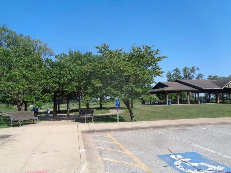
Location. 38° 27.524′ N, 90° 17.272′ W. Marker is in Oakville, Missouri, in St. Louis County. Marker is on Cliff Cave Road south of Bluff Road, on the left when traveling south. Marker is located at Cliff Cave Park, at the lower trailhead parking lot. Touch for map. Marker is at or near this postal address: 5972 Bluff Rd, Saint Louis MO 63129, United States of America. Touch for directions.
Other nearby markers. At least 8 other markers are within 3 miles of this marker, measured as the crow flies. Cliff Cave (here, next to this marker); Veterans Path of Honor (approx. 2.3 miles away); Veterans Memorial (approx. 2.3 miles away); World War I, St. Louis Veterans, Court of Honor (approx. 2.7 miles away); Combat Wounded Veterans (approx. 2.7 miles away); 82nd Airborne Infantry Division US Army (approx. 2.7 miles away); To The Confederate Dead 1861 - 1865 (approx. 2.7 miles away); Confederate Burials in the National Cemetery (approx. 2.7 miles away).
Also see . . .
1. Cliff Cave Park. From the Saint Louis County Parks' website. Park information and history can be found here. (Submitted on July 27, 2022, by Jason Voigt of Glen Carbon, Illinois.)
2. Great Rivers Greenway. Official website (mentioned on the marker) (Submitted on July 27, 2022, by Jason Voigt of Glen Carbon, Illinois.)
Credits. This page was last revised on July 27, 2022. It was originally submitted on July 27, 2022, by Jason Voigt of Glen Carbon, Illinois. This page has been viewed 112 times since then and 26 times this year. Photos: 1, 2. submitted on July 27, 2022, by Jason Voigt of Glen Carbon, Illinois.

