Near Grand Marais in Cook County, Minnesota — The American Midwest (Upper Plains)
Cascade River Overlook
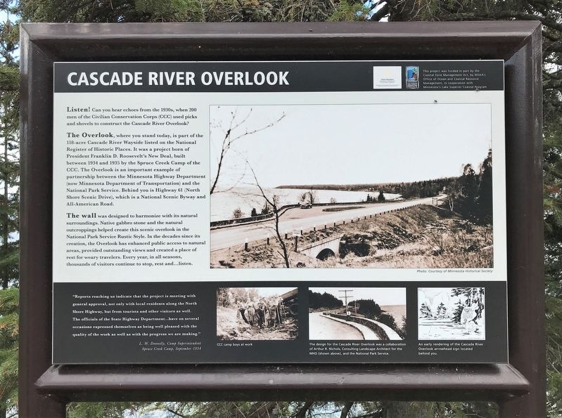
Listen! Can you hear echoes from the 1930s, when 200 men of the Civilian Conservation Corps (CCC) used picks and shovels to construct the Cascade River Overlook?
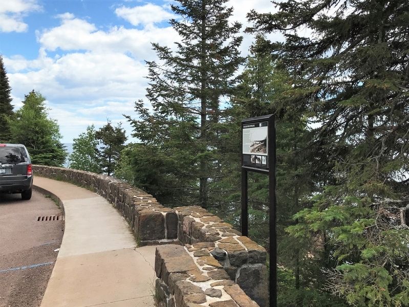
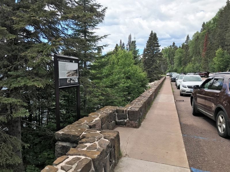
The Overlook, where you stand today, is part of the 118-acre Cascade River Wayside listed on the National Register of Historic Places. It was a project born of President Franklin D. Roosevelt's New Deal, built between 1934 and 1935 by the Spruce Creek Camp of the CCC. The Overlook is an important example of partnership between the Minnesota Highway Department (now Minnesota Department of Transportation) and the National Park Service. Behind you is Highway 61 (North Shore Scenic Drive), which is a National Scenic Byway and All-American Road.
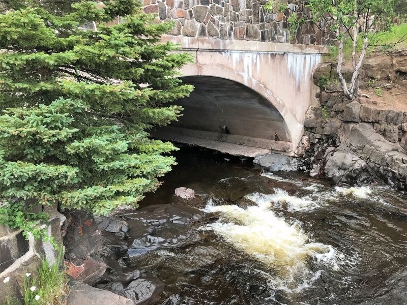
The wall was designed to harmonize with its natural surroundings. Native gabbro stone and the natural outcroppings helped create this scenic overlook in the National Park Service Rustic Style. In the decades since its creation, the Overlook has enhanced public access to natural areas, provided outstanding views and created a place of rest for weary travelers. Every year, in all seasons, thousands of visitors continue to stop, rest and...listen.
Photo: Courtesy of Minnesota Historical Society
"Reports reaching us indicate that the project is meeting with general approval, not only with local residents along the North Shore Highway, but from tourists and other visitors as well. The officials of the State Highway Department...have on several occasions expressed themselves as being well pleased with the quality of the work as well as with the progress we are making."
L. W. Donnelly, Camp Superintendent
Spruce Creek Camp, September 1934
photos:
CCC camp boys at work
The design for the Cascade River Overlook was a collaboration of Arthur R. Nichols, Consulting Landscape Architect for the MHD (shown above), and the National Park Service.
An early rendering of the Cascade River Overlook arrowhead sign located behind you.
Erected by the Coastal Zone Management Act, by NOAA's Office of Ocean and Coastal Resource Management, in cooperation with Minnesota's Lake Superior Coastal Program.
Topics. This historical marker is listed in these topic lists: Charity & Public Work • Parks & Recreational Areas • Waterways & Vessels. A significant historical year for this entry is 1934.
Location. 47° 42.411′ N, 90° 31.406′ W. Marker is near Grand Marais, Minnesota, in Cook County. Marker is on North Shore Scenic Drive (State Highway 61) 0.8 miles east of Cascade Beach Road (County Road 97), on the right when traveling east. Located at the Cascade River Overlook, west of the entrance to Cascade River State Park. Touch for map. Marker is in this post office area: Grand Marais MN 55604, United States of America. Touch for directions.
Other nearby markers. At least 8 other markers are within 10 miles of this marker, measured as the crow flies. Geology of Good Harbor Bay (approx. 4 miles away); Geology of Minnesota (approx. 9.1 miles away); The Grand Marais Harbor (approx. 9.1 miles away); a different marker also named Grand Marais Harbor (approx. 9.3 miles away); Pulpwood Rafting (approx. 9.3 miles away); Natural History of the Point (approx. 9.3 miles away); The Point Interpretive Site (approx. 9.3 miles away); Bally Blacksmith Shop (approx. 9.4 miles away). Touch for a list and map of all markers in Grand Marais.
Credits. This page was last revised on August 1, 2022. It was originally submitted on August 1, 2022. This page has been viewed 97 times since then and 6 times this year. Photos: 1, 2, 3, 4. submitted on August 1, 2022.


