Terry in Prairie County, Montana — The American West (Mountains)
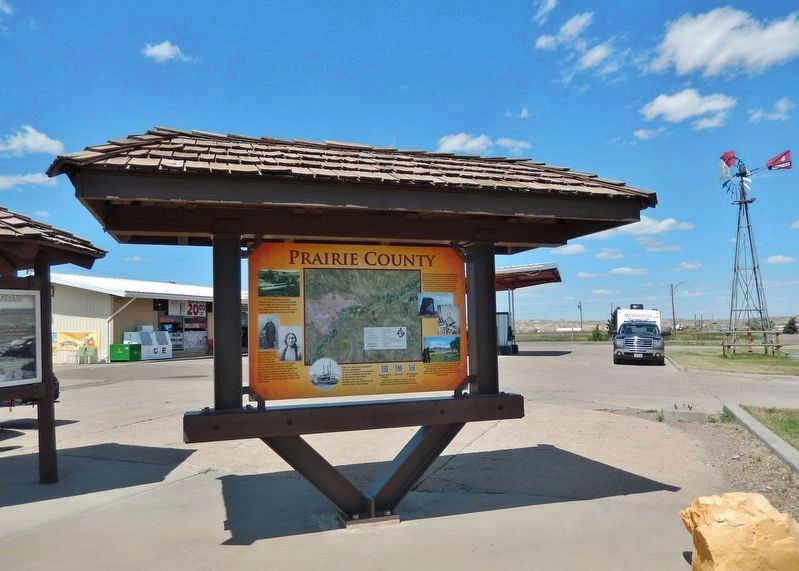
Prairie County
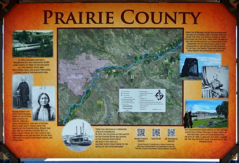
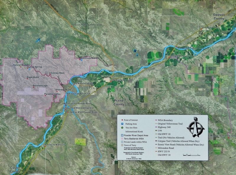
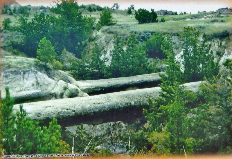
In 1970, Congress enacted a Wilderness Act and designated 43,000 acres north of Terry in the badlands as a Wilderness Study Area. The Calypso Trail and Scenic View offer a grand look at the badlands area.
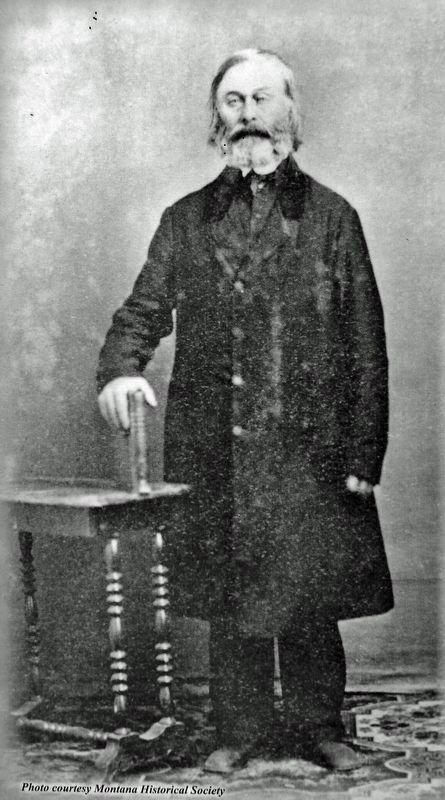
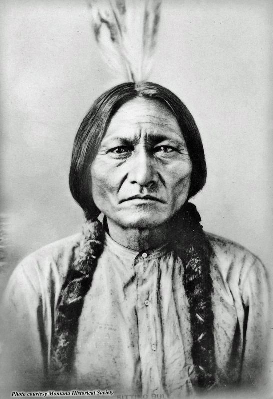
Father DeSmet met with the Hunkpapa Sioux at the Sitting Bull Council on June 20, 1868 for a peace conference. They met at Sitting Bull’s camp about 4 miles above the mouth of the Powder River. DeSmet was not able to convince Sitting Bull to sign a peace treaty, but the council was considered a success because Sitting Bull did agree to allow some white travel and settlement.
Terry was originally a firewood stop for steamboats. By 1876, the location at the mouth of the Powder River was known as the Powder River Depot because it was used as a military supply point prior to the Battle of the Little Bighorn.
The Yellowstone River served as the return route for Captain William Clark’s party of the Historic Lewis & Clark Expedition. On July 30, 1806, Clark and his party camped on the Yellowstone near the mouth of the Powder River.
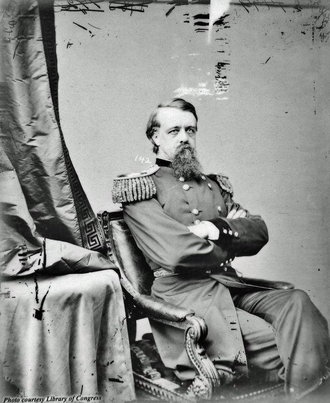
When the Northern Pacific Railroad reached the area on October 8, 1881, company officials named the town for General Alfred H. Terry. Following the Civil War, Terry spent 18 years in this part of the country as commander of the Department of the Dakota and later as the commander of the Division of the Missouri. At the time, the Dakota Territory stretched from present day Minnesota to Montana.
Erected by Montana Department of Commerce; and Prairie County Economic Development Council.
Topics and series. This historical marker is listed in these topic lists: Exploration • Native Americans • Railroads & Streetcars • Waterways & Vessels. In addition, it is included in the Lewis & Clark Expedition series list.
Location. 46° 47.537′ N, 105° 18.165′ W. Marker is in Terry, Montana, in Prairie County. Marker is on Ten Mile Road just north of Park Street, on the left when traveling north. Marker is located at the southeast corner of a convenience store parking lot at this address. Touch for map. Marker is at or near this postal address: 3 Ten Mile Road, Terry MT 59349, United States of America. Touch for directions.
Other nearby markers. At least 1 other marker is within walking distance of this marker. Yellowstone Trail (within shouting distance of this marker).
Also see . . .
1. Calypso Trail.
Calypso Trail is a 5.5 mile primitive road that provides accesses to the erosion-carved sandstone and clays of the Terry Badlands Wilderness Study Area. The badlands were formed from sedimentary rocks which have been eroded by wind and water into impressive arches, bridges, flat tabletops, pinnacles, spires and scoria escarpments. The road gets its name from Calypso, a now defunct railroad stop on the Milwaukee Railroad which was active over a hundred years ago. The Calypso Trail also served as a freight road, travel route and alleged boot-leg trail.(Submitted on August 3, 2022, by Cosmos Mariner of Cape Canaveral, Florida.)
2. Father De Smet talks peace with Sitting Bull.
One of the principal leaders of the Native Americans that resisted relocation was Sitting Bull. In May 1868, the federal government asked De Smet to meet with Sitting Bull to negotiate a peace treaty. The 67-year-old De Smet agreed to meet with Sitting Bull at his camp along the Powder River in present-day Montana. Although tensions were high, Sitting Bull had promised to meet De Smet with “arms stretched out, ready to embrace him.” Lest any hotheaded young brave do something foolish, Sitting Bull first talked with De Smet in his own lodge in order to ensure the priest’s safety. The next day, De Smet met with a council that included other chiefs. De Smet was not able to convince Sitting Bull personally to sign a peace treaty. However, the chief did agree to send one of his lesser chiefs to Fort Laramie, Wyoming, to sign a treaty in which the Sioux agreed to allow white travel and settlement in specified areas.(Submitted on August 3, 2022, by Cosmos Mariner of Cape Canaveral, Florida.)
3. Alfred Howe Terry.
Terry helped to negotiate the Treaty of Fort Laramie (1868), which ended Red Cloud's campaign against American troops in the region. Terry was the commander of the U.S. Army column marching westward into the Montana Territory during what is now popularly known as the Centennial Campaign of 1876–77. A column of troops under his command arrived shortly after the Battle of Little Bighorn and discovered the bodies of Custer's men.(Submitted on August 3, 2022, by Cosmos Mariner of Cape Canaveral, Florida.)
Credits. This page was last revised on August 3, 2022. It was originally submitted on August 3, 2022, by Cosmos Mariner of Cape Canaveral, Florida. This page has been viewed 120 times since then and 27 times this year. Photos: 1, 2, 3, 4, 5, 6, 7. submitted on August 3, 2022, by Cosmos Mariner of Cape Canaveral, Florida.
