Tiburon in Marin County, California — The American West (Pacific Coastal)
Angel Island
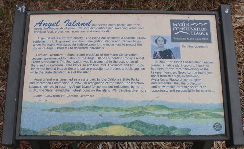
Angel Island is alive with history. The island has sheltered a seasonal Miwok settlement, a U.S. quarantine station, immigration station and military bases. When the Island was slated for redevelopment, the movement to protect the stories of Angel Island fell to dedicated individuals.
Caroline Livermore, a founder and president of the Marin Conservation League, spearheaded formation of the Angel Island Foundation (today’s Angel Island Association). The foundation was instrumental in acquisition of the island by California State Parks. In addition, Mrs. Livermore and Mr. Bruce Johnstone funded interim fire and police protection to prevent a public auction while the State debated uses of the island.
Angel Island was classified as a state park by the California State Parks and Recreation Commission in 1962. In recognition of the Marin Conservation League’s key role in securing Angel Island for permanent enjoyment by the public, the State named the highest point on the island, Mt. Caroline Livermore.
In 2009, the Marin Conservation League planted a native plant grove to honor its founders on the 75th anniversary of the League. Founders Grove can be found just uphill from this sign, overlooking Ayala Cove. Please enjoy the grove and remember that the protection and stewardship of public space is an opportunity and responsibility for everyone.
Erected by California Department of Parks & Recreation.
Topics. This historical marker is listed in these topic lists: Charity & Public Work • Native Americans • Parks & Recreational Areas • Women. A significant historical year for this entry is 1962.
Location. 37° 51.965′ N, 122° 26.132′ W. Marker is in Tiburon, California, in Marin County. Angel Island is located north of Alcatraz Island and is the largest island in the San Francisco Bay. It is accessed by ferry, private boat, watercraft, or kayak. Touch for map. Marker is in this post office area: Belvedere Tiburon CA 94920, United States of America. Touch for directions.
Other nearby markers. At least 8 other markers are within walking distance of this marker. Isolating Disease (within shouting distance of this marker); Medical Officers at Home (within shouting distance of this marker); Ayala Cove (within shouting distance of this marker); a different marker also named Angel Island (about 300 feet away, measured in a direct line); Protecting the Public Health (approx. 0.2 miles away); a different marker also named Ayala Cove (approx. 0.2 miles away); Melting Glaciers + Rising Seas = (approx. 0.2 miles away); Camp Reynolds (approx. 0.4 miles away). Touch for a list and map of all markers in Tiburon.
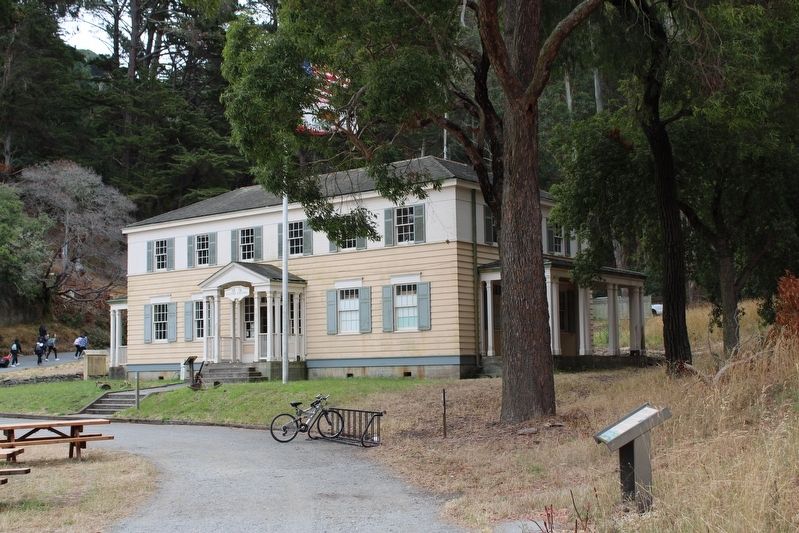
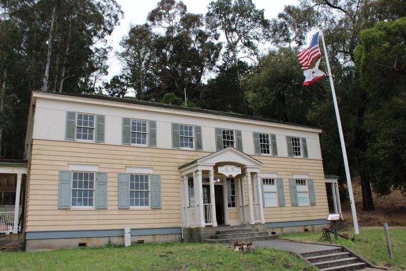
More about this marker. The resin marker is mounted to a metal stand northeast of the former bachelor officers quarters (now a visitor center & museum).
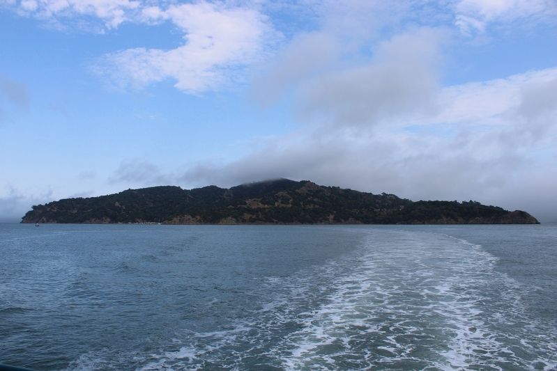
Regarding Angel Island. The entire island is a state park, except for Point Blunt on the southeastern tip, which is controlled by the U.S. Coast Guard.
Also see . . . Angel Island State Park.
"Angel Island State Park, the largest natural island in the San Francisco Bay, offers some of the best views of the surrounding Bay Area. With great hiking trails and many other recreational opportunities readily available, Angel Island is truly a hidden gem in the midst of the urban Bay Area."(Submitted on August 6, 2022, by Joseph Alvarado of Livermore, California.)
Credits. This page was last revised on August 10, 2022. It was originally submitted on August 6, 2022, by Joseph Alvarado of Livermore, California. This page has been viewed 94 times since then and 13 times this year. Photos: 1, 2, 3, 4. submitted on August 6, 2022, by Joseph Alvarado of Livermore, California. • Syd Whittle was the editor who published this page.


