Near Silver Bay in Lake County, Minnesota — The American Midwest (Upper Plains)
Palisade Head
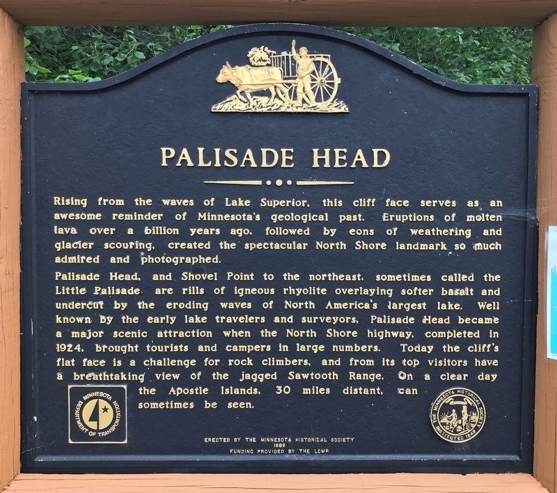
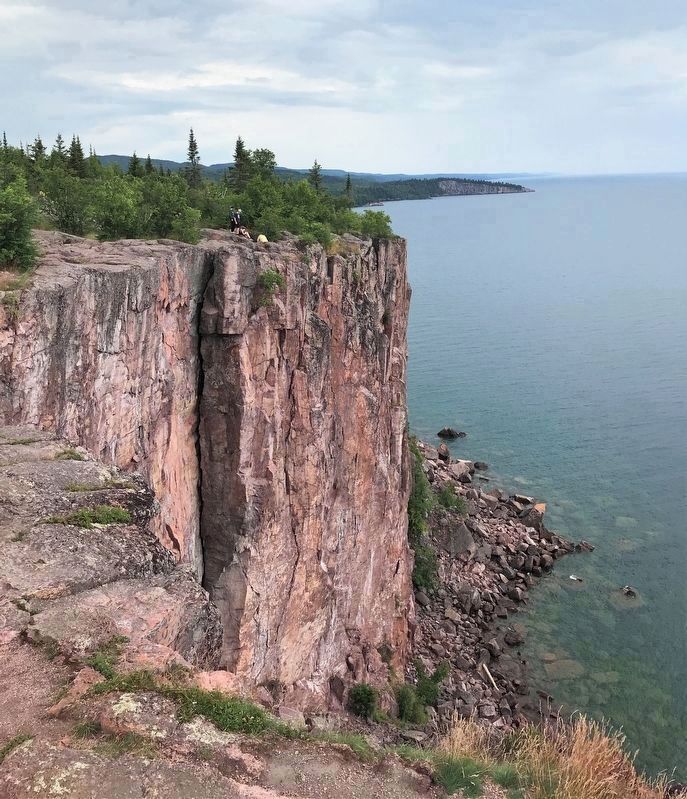
Palisade Head, and Shovel Point to the northeast, sometimes called the Little Palisade are rills of igneous rhyolite overlaying softer basalt and undercut by the eroding waves of North America's largest lake. Well known by the early lake travelers and surveyors, Palisade Head became a major scenic attraction when the North Shore highway, completed in 1924, brought tourists and campers in large numbers. Today the cliff's flat face is a challenge for rock climbers, and from its top visitors have a breathtaking view of the jagged Sawtooth Range. On a clear day the Apostle Islands, 30 miles distant, can sometimes be seen.
Erected 1989 by the Minnesota Historical Society; funding provided by the LCMR.
Topics and series. This historical marker is listed in these topic lists: Environment • Parks & Recreational Areas • Roads & Vehicles. In addition, it is included in the Minnesota Historical Society series list. A significant historical year for this entry is 1924.
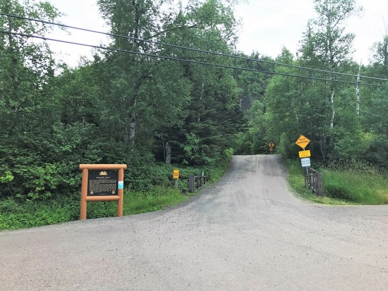
Location. 47° 19.279′ N, 91° 13.003′ W. Marker is near Silver Bay, Minnesota, in Lake County. Marker is on North Shore Scenic Drive (State Highway 61) ¼ mile north of Midbrod Drive, on the right when traveling north. Located at the beginning of the road that leads to Palisade Head. Touch for map. Marker is in this post office area: Silver Bay MN 55614, United States of America. Touch for directions.
Other nearby markers. At least 8 other markers are within 11 miles of this marker, measured as the crow flies. Lake Superior Shipwrecks (approx. 2.9 miles away); About the City: Silver Bay, Minnesota (approx. 2.9 miles away); Northshore Mining (approx. 3.1 miles away); Taconite Mining (approx. 4.3 miles away); Historic Shipwrecks (approx. 4.3 miles away); A Modern Shipwreck (approx. 4.3 miles away); Welcome to the Silver Bay Safe Harbor/Marina (approx. 4.3 miles away); Geology of the Split Rock Region (approx. 10.9 miles away). Touch for a list and map of all markers in Silver Bay.
Credits. This page was last revised on August 8, 2022. It was originally submitted on August 6, 2022. This page has been viewed 265 times since then and 41 times this year. Photos: 1, 2, 3. submitted on August 6, 2022.


