Fort Recovery in Mercer County, Ohio — The American Midwest (Great Lakes)
St. Clair’s Defeat (1791)
⎯⎯⎯
Wayne’s Victory (1794)
Photographed by Dale K. Benington, June 5, 2009
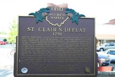
1. St. Clair's Defeat Marker
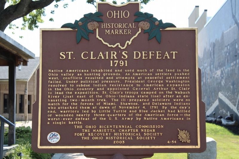
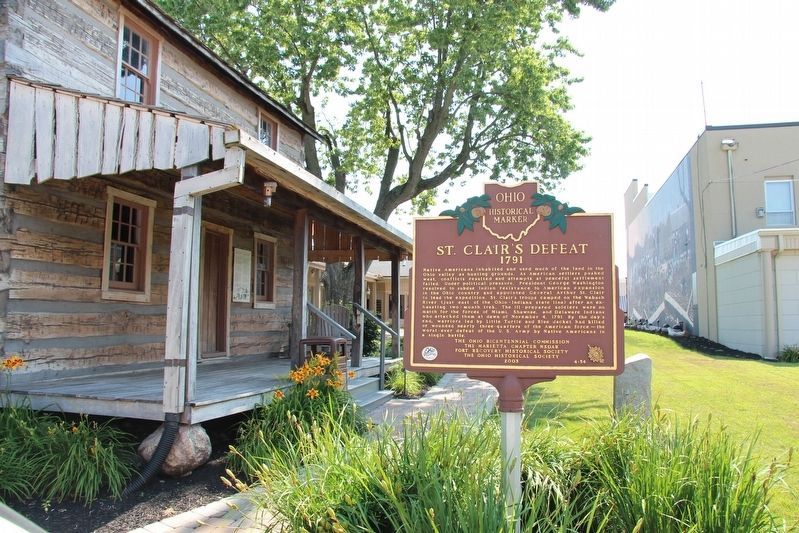
St. Clair’s Defeat, 1791. Native Americans inhabited and used much of the land in the Ohio valley as hunting grounds. As American settlers pushed west, conflicts resulted and attempts at peaceful settlement failed. Under political pressure, President George Washington resolved to subdue Indian resistance to American expansion in the Ohio country and appointed General Arthur St. Clair to lead the expedition. St. Clair's troops camped on the Wabash River (just east of the Ohio-Indiana state line) after an exhausting two month trek. The ill-prepared soldiers were no match for the forces of Miami, Shawnee, and Delaware Indians who attacked them at dawn of November 4, 1791. By the day's end, warriors led by Little Turtle and Blue Jacket had killed or wounded nearly three-quarters of the American force - the worst-ever defeat of the U.S. Army by Native Americans in a single battle.
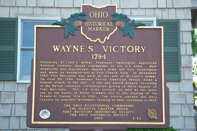
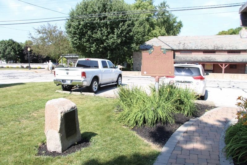
Wayne’s Victory, 1794. Following St.Clair's defeat, President Washington appointed General Anthony Wayne commander of the U.S. Army. Well organized and disciplined, Wayne's army left Fort Washington and made its headquarters at Fort Greene Ville.
this page online
Erected 2003 by 2003 by The Ohio Bicentennial Commission, The Marietta Chapter NSDAR, Fort Recovery Historical Society, The Ohio Historical Society. (Marker Number 4-54.)
Topics and series. This historical marker is listed in these topic lists: Indigenous Peoples and Communities • Wars, US Indian. In addition, it is included in the Daughters of the American Revolution (DAR), the Former U.S. Presidents: #01 George Washington, and the Ohio Historical Society / The Ohio History Connection series lists. A significant historical month for this entry is November 1836.
Location. 40° 24.83′ N, 84° 46.808′ W. Marker is in Fort Recovery, Ohio,
Photographed by Dale K. Benington, June 5, 2009
2. Wayne's Victory Marker

Regionally, this marker is in the Till Plains. It is also in the American Midwest and in the Corn Belt. Globally, it is in North America, the Western Hemisphere, the Western World, and the Anglosphere. Historically, it finds itself in what was once the Haudenosaunee (Iroquois) Confederacy, the territory of the Mississippian Culture, and the Northwest Territory.
Other nearby markers. At least 8 other markers are within walking distance of this marker: Background of the Log Home and Original Owners (a few steps from this marker); The Role of Women in the Battle (a few steps from this marker); Welcome to the Fort Recovery Battlefield Walking Tour (a few steps from this marker); Fort Recovery State Historic Site (a few steps from this marker); The Battle of Fallen Timbers and the Treaty of Greeneville (within shouting distance
Photographed by Dale K. Benington, June 5, 2018
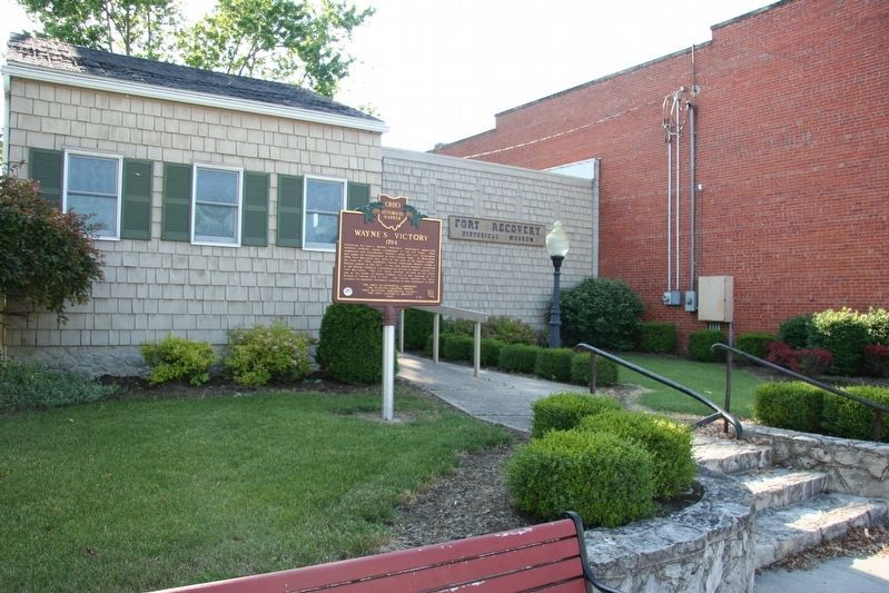
3. Wayne's Victory Marker
View of the historical marker situated in front of the Fort Recovery, Historical Museum, on Wayne Street.
Another marker is no longer nearby. Background of the Log Home and Original Owners (was a few steps from this marker but has been permanently removed).
More about this marker. Apparently this marker was moved ever so slightly from its 2009 location. The building that it was once situated in front of was torn down and the building lot turned into a small public park, with a walkway that connected the downtown business district with the Fort Recovery Historic Site. This marker was then relocated at the west end of this walkway, across the street from the Fort Recovery Museum.
Also see . . .
1. St. Claire's Defeat/Battle of the Wabash. Absolute Astronomy website entry (Submitted on June 28, 2009, by Dale K. Benington of Toledo, Ohio.)
2. Anthony Wayne. George Washington's Mount Vernon website entry (Submitted on September 18, 2024, by Larry Gertner of New York, New York.)
3. Northwest Indian War.
Photographed by Dale K. Benington, July 15, 2019
4. St. Clair’s Defeat / Wayne’s Victory Marker
4. Fort Recovery Museum & Monument. Ohio History Connection website entry (Submitted on September 18, 2024, by Larry Gertner of New York, New York.)
5. The Battle of Fallen Timbers, August 20, 1794. Army Historical Foundation website entry (Submitted on September 18, 2024, by Larry Gertner of New York, New York.)
Photographed by Dale K. Benington, July 15, 2019
5. St. Clair’s Defeat / Wayne’s Victory Marker
View of the marker in its current location.
Photographed by Dale K. Benington, July 15, 2019
6. St. Clair’s Defeat / Wayne’s Victory Marker
View of the marker, in its current location, situated across the street from the entrance to the Fort Recovery Museum.
Credits. This page was last revised on September 27, 2025. It was originally submitted on June 28, 2009, by Dale K. Benington of Toledo, Ohio. This page has been viewed 2,115 times since then and 82 times this year. Photos: 1. submitted on June 28, 2009, by Dale K. Benington of Toledo, Ohio. 2, 3. submitted on June 26, 2009, by Dale K. Benington of Toledo, Ohio. 4, 5, 6. submitted on July 19, 2019, by Dale K. Benington of Toledo, Ohio. • Craig Swain was the editor who published this page.
