Near Tiburon in Marin County, California — The American West (Pacific Coastal)
Nike Missile Site
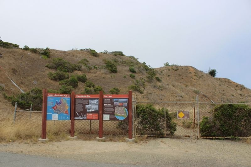
Guardians of the Sky
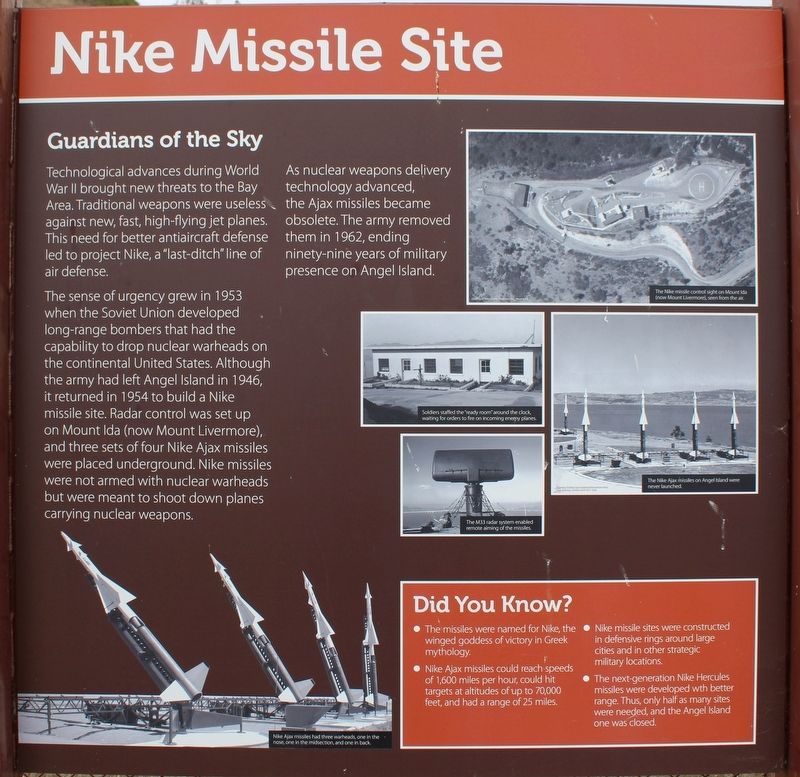
Technological advances during World War II brought new threats to the Bay Area. Traditional weapons were useless against new, fast, high-flying jet planes. This need for better antiaircraft defense led to project Nike, a “last-ditch” line of air defense.
The sense of urgency grew in 1953 when the Soviet Union developed long-range bombers that had the capability to drop nuclear warheads on the continental United States. Although the army had left Angel Island in 1946, it returned in 1954 to build a Nike missile site. Radar control was set up on Mount Ida (now Mount Livermore), and three sets of four Nike Ajax missiles were placed underground. Nike missiles were not armed with nuclear warheads but were meant to shoot down planes carrying nuclear weapons.
As nuclear weapons delivery technology advanced, the Ajax missiles became obsolete. The army removed them in 1966, ending ninety-nine years of military presence on Angel Island.
Did You Know?
• The missiles were named for Nike, the winged goddess of victory in Greek mythology.
• Nike Ajax missiles could reach speeds of 1,600 miles per hour, could hit targets at altitudes of up to 70,000 feet, and had a range of 25 miles.
• Nike missile sites were constructed in defensive rings around large cities and in other strategic military locations.
• The next-generation Nike Hercules missiles were developed with better range. Thus, only half as many sites were needed, and the Angel Island one was closed.
Caption Two: The Nike missile control sight on Mount Ida (now Mount Livermore), seen from the air.
Caption Three: Soldiers staffed the “ready room” around the clock, waiting for orders to fire on incoming enemy planes.
Caption Four: The Nike Ajax missiles on Angel Island were never launched.
Caption Five: The M33 radar system enabled remote aiming of the missiles.
Right Panel
Discover
A Silent Reminder
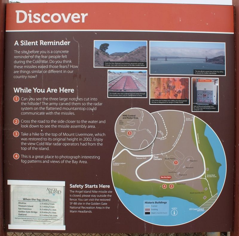
The site before you is a concrete reminder of the fear people felt during the Cold War. Do you think these missiles eased those fears? How are things similar or different in our country now?
While You Are Here
1. Can you see the three large notches cut into the hillside? The army carved them so the radar system on the flattened mountaintop could communicate with the missiles.
2. Cross the road to the side closer to the water and look down to see the missile assembly area.
3. Take a hike to the top of Mount Livermore, which was restored to its original height in 2002. Enjoy the view Cold War radar operators had from the top of the island.
4. This is a great place to photograph interesting fog patterns and views of the Bay Area.
Safety Starts Here
The Angel Island Nike missile site is closed; please stay outside the fence. You can visit the restored SF-88 site in the Golden Gate National Recreation Area in the Marin Headlands.
Left Panel
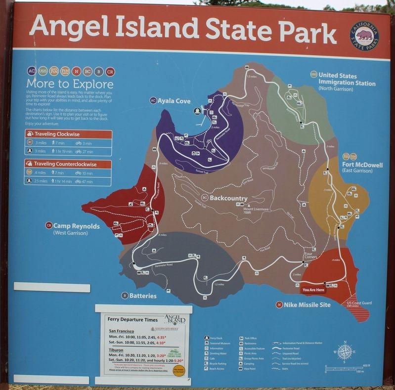
Angel Island State Park
(map)
Erected by California Department of Parks & Recreation.
Topics. This historical marker is listed in these topic lists: Air & Space • Parks & Recreational Areas • War, Cold. A significant historical year for this entry is 1954.
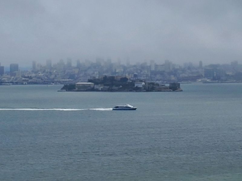
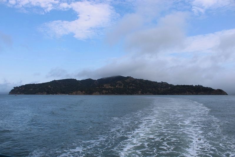
Location. 37° 51.337′ N, 122° 25.414′ W. Marker is near Tiburon, California, in Marin County. Angel Island is located north of Alcatraz Island and is the largest island in the San Francisco Bay. It is accessed by ferry, private boat, watercraft, or kayak. Touch for map. Marker is in this post office area: Belvedere Tiburon CA 94920, United States of America. Touch for directions.
Other nearby markers. At least 8 other markers are within walking distance of this marker. Backcountry (about 800 feet away, measured in a direct line); Fort McDowell South (approx. 0.3 miles away); Play Games (approx. 0.3 miles away); 600 Bunkmates (approx. half a mile away); Fort McDowell’s General Store (approx. half a mile away); Guarding the Post (approx. half a mile away); Processing People and Paper (approx. half a mile away); Over 12,000 Meals a Day Served (approx. half a mile away). Touch for a list and map of all markers in Tiburon.
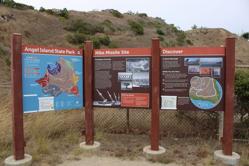
More about this marker. The three panels are mounted to four metal posts next to the gate for the Nike Missile Site.
Regarding Nike Missile Site. The entire island is a state park, except for Point Blunt on the southeastern tip, which is controlled by the U.S. Coast Guard.
Also see . . . Creation of the Park.
"In 1962 the Nike missile base on the south side of the island was deactivated, and the army once again left the island. In December of that year, the entire island was turned over to the State of California for park purposes..."(Submitted on August 12, 2022, by Joseph Alvarado of Livermore, California.)
Credits. This page was last revised on October 31, 2022. It was originally submitted on August 12, 2022, by Joseph Alvarado of Livermore, California. This page has been viewed 238 times since then and 55 times this year. Photos: 1, 2, 3, 4, 5. submitted on August 12, 2022, by Joseph Alvarado of Livermore, California. 6, 7. submitted on October 31, 2022, by Joseph Alvarado of Livermore, California. • Syd Whittle was the editor who published this page.
