Enon Valley in Lawrence County, Pennsylvania — The American Northeast (Mid-Atlantic)
Enon Valley
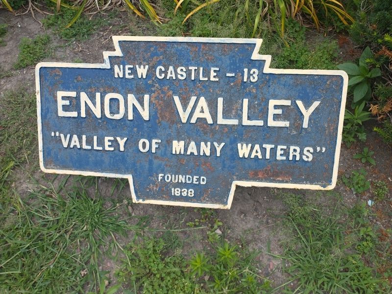
Photographed by Craig Doda, July 24, 2022
1. Enon Valley Marker
Topics and series. This historical marker is listed in these topic lists: Natural Features • Natural Resources • Settlements & Settlers • Waterways & Vessels. In addition, it is included in the Pennsylvania Keystone Markers series list. A significant historical year for this entry is 1838.
Location. 40° 51.322′ N, 80° 27.491′ W. Marker is in Enon Valley, Pennsylvania, in Lawrence County. It is at the intersection of State Street and State Street, on the right when traveling west on State Street. Touch for map. Marker is at or near this postal address: 108 State St, Enon Valley PA 16120, United States of America. Touch for directions.

Regionally, this marker is in Northwestern Pennsylvania and in Greater Pittsburgh. It is also in the American Northeast, in the Mid-Atlantic, in Appalachia, and specifically in Northern Appalachia. Globally, it is in North America, the Western Hemisphere, the Western World, and the Anglosphere. Historically, it finds itself in what was once the Haudenosaunee (Iroquois) Confederacy and also one of the original Thirteen Colonies.
this page online
Other nearby markers. At least 8 other markers are within 4 miles of this marker, measured as the crow flies: Enon Valley World War I & II Veterans Memorial (here, next to this marker); a different marker also named Enon Valley (here, next to this marker); a different marker also named Enon Valley World War I & II Veterans Memorial (a few steps from this marker); Enon Valley Armed Services Veterans Memorial (a few steps from this marker); Enon Valley Community Veterans Memorial (a few steps from this marker); Buttonwood (approx. 1.6 miles away); New Galilee (approx. 3.1 miles away); McMinn Mill (approx. 3.2 miles away). Touch for a list and map of all markers in Enon Valley.
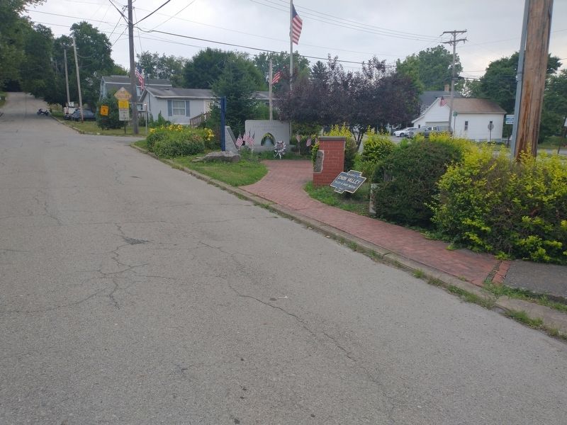
Photographed by Craig Doda, July 24, 2022
2. Enon Valley Marker
Credits. This page was last revised on May 24, 2023. It was originally submitted on August 16, 2022, by Craig Doda of Napoleon, Ohio. This page has been viewed 238 times since then and 24 times this year. Photos: 1, 2. submitted on August 16, 2022, by Craig Doda of Napoleon, Ohio. • Bill Pfingsten was the editor who published this page.
