Lorton in Fairfax County, Virginia — The American South (Mid-Atlantic)
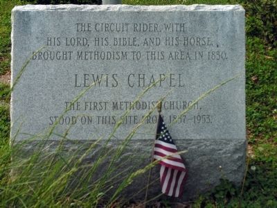
Lewis Chapel / Cranford Memorial Methodist Church
Inscription.
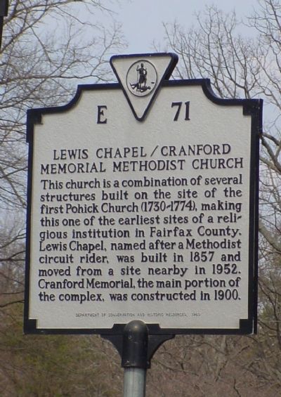
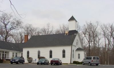
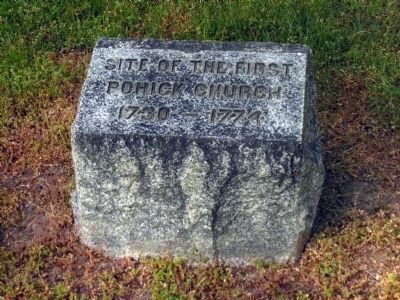
This church is a combination of several structures built on the site of the first Pohick Church (1730–1774), making this one of the earliest sites of a religious institution in Fairfax County. Lewis Chapel, named after a Methodist circuit rider, was built in 1857 and moved from a site nearby in 1952. Cranford Memorial, the main portion of the complex, was constructed in 1900.
Erected 1980 by Department of Conservation and Historic Resources. (Marker Number E-71.)
Topics and series. This historical marker is listed in these topic lists: Churches & Religion • Colonial Era. In addition, it is included in the Virginia Department of Historic Resources (DHR) series list. A significant historical year for this entry is 1857.
Location. 38° 41.254′ N, 77° 12.528′ W. Marker is in Lorton, Virginia, in Fairfax County. Marker is at the intersection of Gunston Road (Virginia Route 242) and Old Colchester Road (County Route 611), on the left when traveling east on Gunston Road. Marker is half a mile east of Richmond Highway (U.S. 1). Touch for map. Marker is in this post office area: Lorton VA 22079, United States of America. Touch for directions.
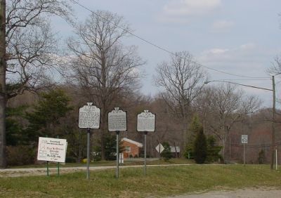
Other nearby markers. At least 5 other markers are within walking distance of this marker. Indian Attack (here, next to this marker); Gunston Hall (here, next to this marker); Lewis Chapel (within shouting distance of this marker); Elizabeth Hartwell Mason Neck National Wildlife Refuge / Explore a Trail Network (approx. 0.3 miles away); Gunston Hall / Pohick Bay Regional Park and Golf Course (approx. 0.3 miles away). Touch for a list and map of all markers in Lorton.
More about this marker. This marker reuses the marker number (E 71) titled “Alexandria” that for many decades marked the south entrance of Alexandria on U.S. 1. That marker is no longer there.
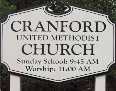
Regarding Lewis Chapel / Cranford Memorial Methodist Church. Cranford United Methodist Church is at 9912 Old Colchester Road, about 0.3 miles northeast of the marker.
Credits. This page was last revised on July 14, 2019. It was originally submitted on March 25, 2006, by J. J. Prats of Powell, Ohio. This page has been viewed 2,182 times since then and 34 times this year. Photos: 1, 2. submitted on March 25, 2006, by J. J. Prats of Powell, Ohio. 3. submitted on March 26, 2006, by J. J. Prats of Powell, Ohio. 4, 5, 6, 7. submitted on June 12, 2013, by Allen C. Browne of Silver Spring, Maryland.
