Winchester in Frederick County, Virginia — The American South (Mid-Atlantic)
Ash Hollow
"The regiment went to pieces"
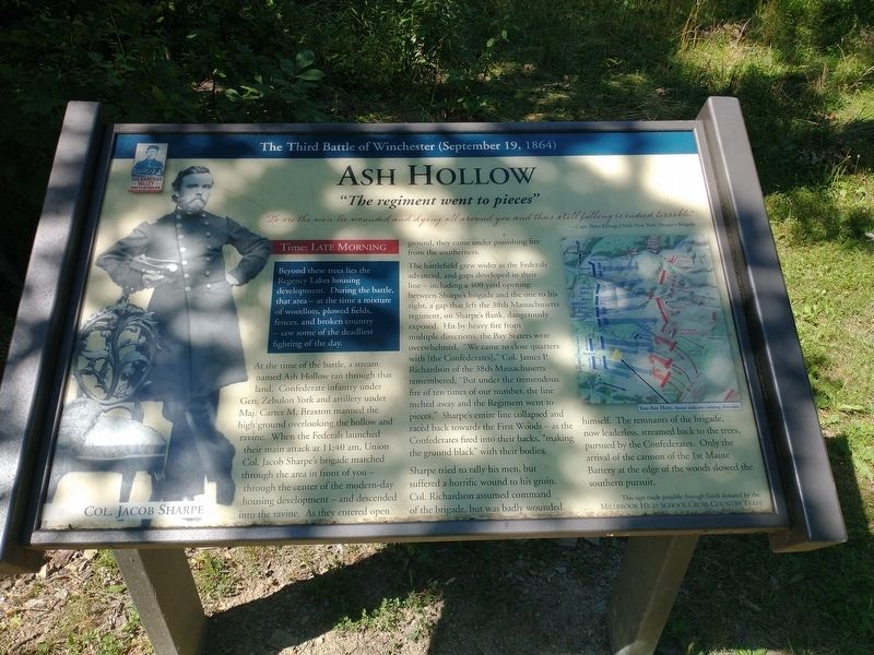
— The Third Battle of Winchester (September 19, 1864) —
Beyond these trees lies the Regency Lakes housing development. During the battle, that area — at the time a mixture of woodlots, plowed fields, fences, and broken country — saw some of the deadliest fighting of the day.
""To see the men lie wounded and dying all around you and thus still falling is indeed terrible." - Capt. Peter Eltinge, 156th New York, Sharpe's Brigade
At the time of the battle, a stream named Ash Hollow ran through that land. Confederate infantry under Gen. Zebulon York and artillery under Maj. Carter M. Braxton manned the high ground overlooking the hollow and ravine. When the Federals launched their main attack at 11:40 am, Union Col. Jacob Sharpe's brigade marched through the area in front of you — through the center of the modern-day housing development — and descended into the ravine. As they entered open ground, they came under punishing fire from the southemers.
The battlefield grew wider as the Federals advanced, and gapas developed in their line — including a 400 yard opening between Sharpe's brigade and the one to his right, a gap that left the 38th Massachusetts regiment, on Sharpe's flank, dangerously exposed. Hit by heavy fire from multiple directions, the Bay Staters were overwhelmed. "We came to close quarters with [the Confederates]," Col. James P. Richardson of the 38th Massachusetts remembered, "But under the tremendous fire of ten times of our number, the line melted away and the Regiment went to pieces.” Sharpe's entire line collapsed and raced back towards the First Woods — as the Confederates fired into their backs, "making the ground black" with their bodies.
Sharpe tried to rally his men, but suffered a horrific wound to his groin. Col. Richardson assumed command of the brigade, but was badly wounded himself. The remnants of the brigade, now leaderless, streamed back to the trees, pursued by the Confederates. Only the arrival of the cannon of the 1st Maine Battery at the edge of the woods slowed the southern pursuit.
(caption) Col. Jacob Sharpe
Erected by Millbrook High School Cross Country Team.
Topics. This historical marker is listed in this topic list: War, US Civil. A significant historical date for this entry is September 19, 1864.
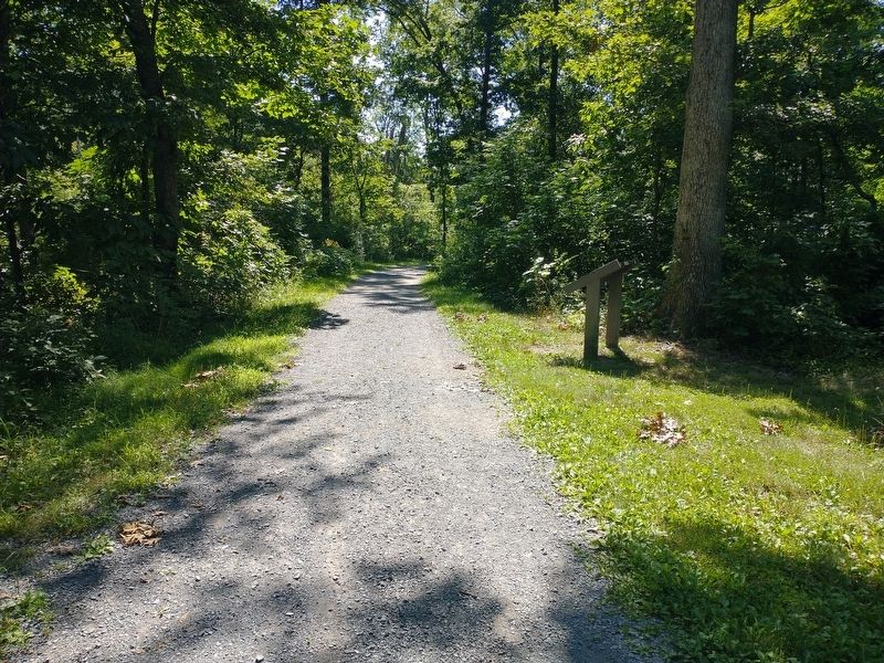
Location. 39° 11.805′ N, 78° 7.419′ W. Marker is in Winchester, Virginia, in Frederick County. Marker can be reached from the intersection of Averrell Avenue and Artifact Avenue, on the right when traveling north. Located 0.2 miles northeast of the parking area along the Third Battle of Winchester Trail. Touch for map. Marker is in this post office area: Winchester VA 22603, United States of America. Touch for directions.
Other nearby markers. At least 8 other markers are within walking distance of this marker. The Third Battle of Winchester (about 400 feet away, measured in a direct line); The Middle Field (about 600 feet away); Grover's Attack (about 600 feet away); Maine (about 700 feet away); Molineux's Stand (about 700 feet away); A Perfect Sheet Of Lead (approx. 0.2 miles away); The Cost of Battle (approx. ¼ mile away); Alabama (approx. ¼ mile away). Touch for a list and map of all markers in Winchester.
Also see . . . The Third Battle of Winchester. Shenandoah Valley Battlefields Foundation (Submitted on August 18, 2022.)
Credits. This page was last revised on August 18, 2022. It was originally submitted on August 18, 2022, by Craig Doda of Napoleon, Ohio. This page has been viewed 182 times since then and 45 times this year. Photos: 1, 2. submitted on August 18, 2022, by Craig Doda of Napoleon, Ohio. • Bernard Fisher was the editor who published this page.

