Salvo in Dare County, North Carolina — The American South (South Atlantic)
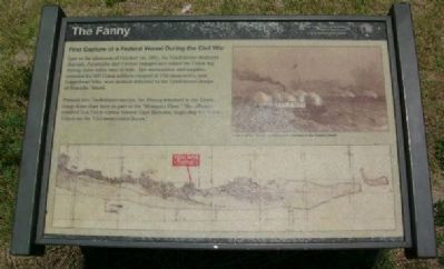
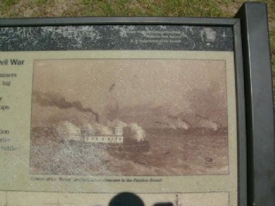
The Fanny
First Capture of a Federal Vessel During the Civil War
Pressed into Confederate service, the Fanny returned to the Union camp three days later as part of the “Mosquito Fleet.” The offensive resulted in a Union retreat toward Cape Hatteras, beginning the battle known as the “Chicamacomico Races.”
Erected by Cape Hatteras National Seashore, National Park Service, U.S. Department of the Interior.
Topics. This historical marker is listed in these topic lists: War, US Civil • Waterways & Vessels. A significant historical date for this entry is October 1, 1944.
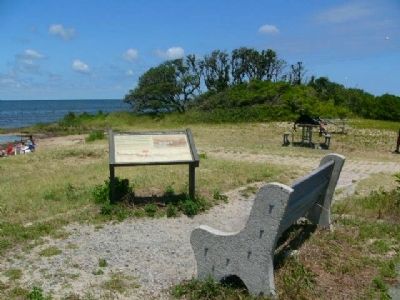
Location. 35° 32.025′ N, 75° 28.541′ W. Marker is in Salvo, North Carolina, in Dare County. Marker can be reached from Cape Hatteras National Seashore Access Road. Touch for map. Marker is in this post office area: Salvo NC 27972, United States of America. Touch for directions.
Other nearby markers. At least 8 other markers are within 13 miles of this marker, measured as the crow flies. "Mirlo" Rescue (approx. 4.3 miles away); The Chicamacomico Races / Exodus from Chicamacomico (approx. 4.3 miles away); Welcome to Rodanthe... (approx. 4.3 miles away); Chicamacomico Life-Saving Station (approx. 4.3 miles away); a different marker also named Mirlo Rescue (approx. 4.8 miles away); Charles Kuralt Trail (approx. 12.6 miles away); Fish & Wildlife Service (approx. 12.7 miles away); Gulls and Terns (approx. 12.7 miles away).
Credits. This page was last revised on June 16, 2016. It was originally submitted on July 1, 2009, by Kevin W. of Stafford, Virginia. This page has been viewed 1,296 times since then and 20 times this year. Photos: 1, 2, 3. submitted on July 1, 2009, by Kevin W. of Stafford, Virginia. • Craig Swain was the editor who published this page.


