Fairfield in Fairfield County, Connecticut — The American Northeast (New England)
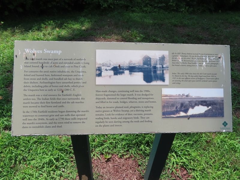
Wolves Swamp
This tidal marsh was once part of a network of wetlands that covered hundreds of acres and extended south to Long Island Sound, east to Ash Creek and west to Pine Creek.
For centuries the area's native inhabitants, the Unquowa, fished and hunted here, fashioned wampum and tools from stone and shells, and bundled salt hay to thatch their shelters. Archaeologists have unearthed pottery and debris, including piles of bones and shells, which place the Unquowa here as early as 1220-1280 C. E.
The marsh was a vital resource for Fairfield's English settlers too. The Indian fields that once surrounded this marsh became their first farmland and the salt marshes were mowed to feed horse and cattle.
In the 1700s Fairfield residents began damming the marsh's waterways to construct grist and saw mills that operated well into the 1840s. As early as 1790 these mills impacted the marsh's ecosystem, and the town tried to remove the dams to reestablish clams and shad.
Man-made changes, continuing well into the 1900s, forever fragmented the larger marsh. It was dredged for shipyards, dammed to control flooding and mosquitoes, and filled in for roads, bridges, wharves, stores and homes.
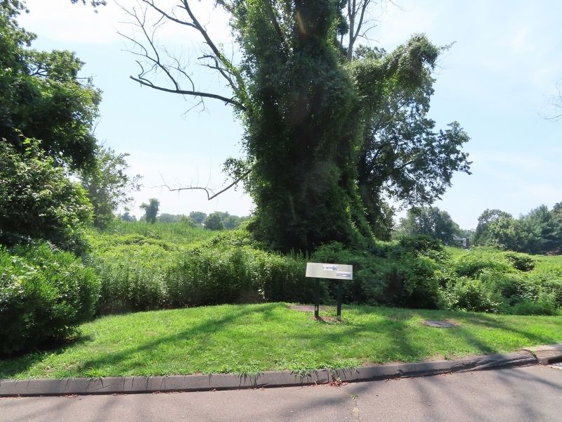
Today an invasive plumed reed, phragmites, is replacing native grasses at Wolves Swamp, yet a thriving marsh remains. Look for evidence of deer, raccoons, possums, wading birds, hawks and migratory birds. They can regularly be seen darting among the reeds and feeding on the plants and insects.
( photo captions )
— left: In 1697 Thomas Bedient received the town's permission to erect a gristmill in Southport. He was the first of many millers who used the tide to power his wheel. The original buildings band by the British in 79. Reconstructed, as use as a mill continued until 1915. Since then the Harbor Road building seen in this 1911 photograph, has housed a tavern, eating places and today is used as office space.
— below: This early 1900s view shows the Ash Creek marsh towards St. Mary's-by-the-Sea. The log-walled chapel stood from 1893 to 1925 in this now affluent section of Bridgeport. Conservation efforts are restoring this area's open space and the wetland's native grasses and ecology.
Erected by Fairfield Museum and History Center.
Topics. This historical marker is listed in these topic lists: Anthropology & Archaeology • Environment • Industry & Commerce • Native Americans • Settlements & Settlers. A significant historical year for this entry is 1790.
Location. 41° 8.476′ N, 73° 14.899′ W. Marker is in Fairfield, Connecticut, in Fairfield County. Marker can be reached from the intersection of Old Post Road and Beach Road, on the right when traveling north. Located at the Fairfield Museum & History Center and Government Commons. Touch for map. Marker is in this post office area: Fairfield CT 06824, United States of America. Touch for directions.
Other nearby markers. At least 8 other markers are within walking distance of this marker. Fairfield’s Historic Green (within shouting distance of this marker); Thomas Sherwood Memorial (about 300 feet away, measured in a direct line); A Worker’s Cottage (about 300 feet away); Reverend John Jones Memorial (about 400 feet away); Sun Tavern: Did George Washington Sleep Here? (about 400 feet away); Sun Tavern (about 400 feet away); Moorlands (about 400 feet away); Andrew Ward Memorial (about 400 feet away). Touch for a list and map of all markers in Fairfield.
Credits. This page was last revised on May 6, 2023. It was originally submitted on August 19, 2022, by Michael Herrick of Southbury, Connecticut. This page has been viewed 105 times since then and 21 times this year. Photos: 1, 2. submitted on August 19, 2022, by Michael Herrick of Southbury, Connecticut.

