Fairfield in Fairfield County, Connecticut — The American Northeast (New England)
Fairfield’s Historic Green
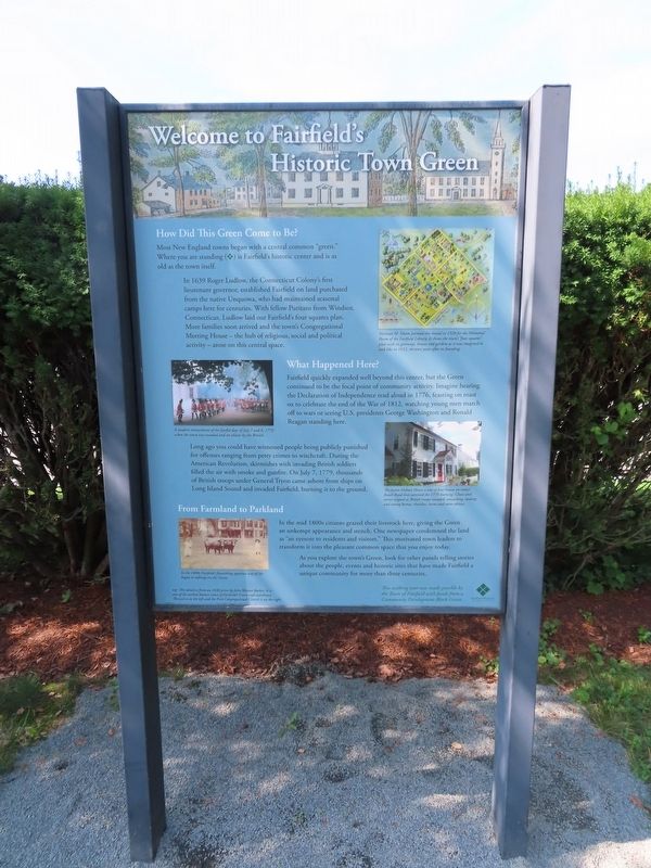
Welcome to Fairfield’s Historic Town Green
How Did This Green Come to Be?
Most New England towns began with a central common "green." Where you are standing is Fairfield's historic center and is as old as the town itself.
In 1639 Roger Ludlow, the Connecticut Colony's first Lieutenant governor, established Fairfield on land purchased from the native Unquowa, who had maintained seasonal camps here for centuries. With fellow Puritans from Windsor, Connecticut, Ludlow laid out Fairfield's four squares plan. More families soon arrived and the town's Congregational Meeting House - the hub of religious, social and political activity - arose on this central space.
What Happened Here?
Fairfield quickly expanded well beyond this center, but the Green continued to be the focal point of community activity. Imagine hearing the Declaration of Independence read aloud in 1776, feasting on roast ox to celebrate the end of the War of 1812, watching young men march off to wars or seeing U.S. presidents George Washington and Ronald Reagan standing here.
Long ago you could have witnessed people being publicly punished for offenses ranging from petty crimes to witchcraft. During the American Revolution, skirmishes with invading British soldiers filled the air with smoke and gunfire. On July 7, 1779, thousands of British troops under General Tryon came ashore from ships on Long Island Sound and invaded Fairfield, burning it to the ground.
From Farmland to Parkland
In the mid 1800s citizens grazed their livestock here, giving the Green an unkempt appearance and stench. One newspaper condemned the land as "an eyesore to residents and visitors." This motivated town leaders to transform it into the pleasant common space that you enjoy today. As you explore the town's Green, look for other panels telling stories about the people, events and historic sites that have made Fairfield a unique community for more than three centuries.
This walking tour was made possible by the Town of Fairfield with funds from a Community Development Block Grant.
( photo captions )
— A modern reenactment of the fateful days of July 7 and 8, 1779 when the town was invaded and set ablaze by the British.
— Norman M. Isham painted this mural in 1928 for the Memorial Room of the Fairfield Library. It shows the town's "four squares" plan with its gateways, houses and gardens as it was imagined to look like in 1652, thirteen years after its founding.
— In the 1800s Fairfield's flourishing agrarian way of life began to infringe on the Green.
— top: This detail is from an 1836 print by John Warner Barber. It is one of the earliest known views of Fairfield's Green and courthouse. The jail is on the left and the First Congregational Church is on the right.
— The Justin Hobart House is one of four houses on today's Beach Road that survived the 1779 burning. Chaos and terror reigned as British troops invaded, ransacking, stealing and setting homes, churches, barns and stores ablaze.
Erected by Fairfield Museum and History Center.
Topics. This historical marker is listed in these topic lists: Churches & Religion • Colonial Era • Law Enforcement • Parks & Recreational Areas • Settlements & Settlers • War, US Revolutionary. A significant historical date for this entry is July 7, 1779.
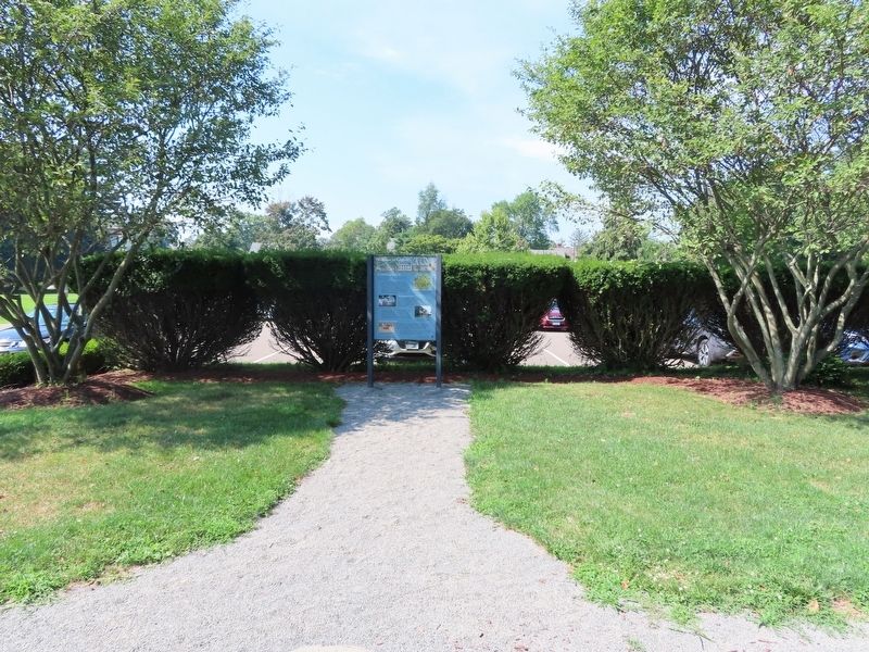
Location. 41° 8.455′ N, 73° 14.942′ W. Marker is in Fairfield, Connecticut, in Fairfield County. Marker can be reached from the intersection of Old Post Road and Beach Road, on the right when traveling north. Located at the Fairfield Museum and History Center. Touch for map. Marker is in this post office area: Fairfield CT 06824, United States of America. Touch for directions.
Other nearby markers. At least 8 other markers are within walking distance of this marker. A Worker’s Cottage (within shouting distance of this marker); Wolves Swamp (within shouting distance of this marker); Edward’s Pond (about 300 feet away, measured in a direct line); Fairfield (about 400 feet away); John J. Sullivan (about 400 feet away); Freedomfight in Hungary (about 400 feet away); Sun Tavern: Did George Washington Sleep Here? (about 400 feet away); Remarkable Trees (about 400 feet away). Touch for a list and map of all markers in Fairfield.
Also see . . .
1. Fairfield Museum & History Center. (Submitted on August 20, 2022, by Michael Herrick of Southbury, Connecticut.)
2. Fairfield, Connecticut. (Submitted on August 20, 2022, by Michael Herrick of Southbury, Connecticut.)
3. Fairfield, Connecticut (Wikipedia). (Submitted on August 20, 2022, by Michael Herrick of Southbury, Connecticut.)
Credits. This page was last revised on May 6, 2023. It was originally submitted on August 20, 2022, by Michael Herrick of Southbury, Connecticut. This page has been viewed 144 times since then and 26 times this year. Photos: 1, 2. submitted on August 20, 2022, by Michael Herrick of Southbury, Connecticut.

