Burkittsville in Frederick County, Maryland — The American Northeast (Mid-Atlantic)
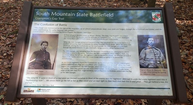
The Confusion of Battle
South Mountain State Battlefield
— Crampton's Gap Trail —
"The charge was maintained to the top of the mountain, up an almost perpendicular steep, over rocks and ledges, through the underbrush and timber, until the crest, overlooking the valley beyond, was gained."
Colonel Joseph J. Bartlett, Commanding Second Brigade, First Division, Sixth Corps
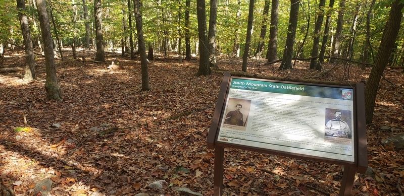
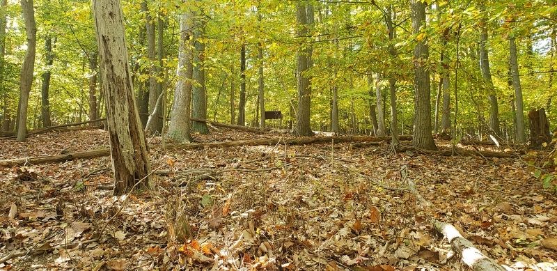
In front of you is the area known as Whipp's Ravine. This steep, rugged ravine was a major obstacle to both the attackers and the defenders of Crampton's Gap. As the battle developed, this ravine filled with confused masses of both Confederate and Union troops.
When the 24th Georgia arrived at Crampton's Gap, they advanced into the ravine and took a position behind the main Confederate line along Mountain Church Road. When the Union line advanced, driving the Confederates up the mountainside, the 24th Georgia withdrew back through the ravine towards the gap, eventually taking a position along Gapland Road.
The 10th Georgia, also retreating from the Mountain Church Road line, attempted to reform and make a stand in the ravine. But when the 10th's commander, Major Willis C. Holt, was wounded above the left eye, the regiment's men decided to retreat. All attempts to make a stand in the ravine were in vain; the Union troops were not going to be denied the mountaintop.
As the Union regiments chased the Confederates up the mountain they became intermingled. Soldiers followed any flags and any officers who would lead them forward. When the Cobb Legion was overwhelmed, the 16th Georgia, which had stood next to them, retreated towards the ravine. Here they would run into more Union troops. In the confusion, Private James Allen of the 16th New York single-handedly capture fourteen Confederate soldiers and the flag of the 16th Georgia.
"The 32nd N.Y. were in front of us but soon we formed ourselves in front of the enemy and the regiments were not in order but every regiment went into it "bushwacking style"....We drove them up the hill as fast as they could and we kept tight to their heels and their loss is very great....They get behind a tree, fire and run."
Corporal Cyrus Stone, 16th New York
[Captions:]
Corporal Cyrus Stone, 16th New York
Captain Abner M. Reynolds, 16th Georgia, killed during the fighting at Crampton's Gap.
Topics. This historical marker is listed in this topic list: War, US Civil. A significant historical date for this entry is September 14, 1862.
Location. 39° 24.301′ N, 77° 38.235′ W. Marker is in Burkittsville, Maryland, in Frederick County. Marker can be reached from the intersection of Arnoldtown Road and Gapland Road, on the left
when traveling south. Marker is on the 0.5 mile Crampton's Gap Walking Trail, east (down hill) of the War Correspondence Memorial Arch. Touch for map. Marker is in this post office area: Burkittsville MD 21718, United States of America. Touch for directions.
Other nearby markers. At least 8 other markers are within walking distance of this marker. Cobb's Georgia Legion (within shouting distance of this marker); Defeat Turns To Route (sic) (about 500 feet away, measured in a direct line); Gath's Empty Tomb (about 500 feet away); Mausoleum (about 500 feet away); The Battle of Crampton's Gap (about 600 feet away); The Battle of South Mountain (about 600 feet away); Troup Light Artillery (about 600 feet away); Padgett’s Field: Confederate Last Stand (about 600 feet away). Touch for a list and map of all markers in Burkittsville.
Also see . . . Gathland State Park. Maryland Department of Natural Resources (Submitted on October 26, 2020.)
Credits. This page was last revised on August 28, 2022. It was originally submitted on October 25, 2020, by Bradley Owen of Morgantown, West Virginia. This page has been viewed 221 times since then and 29 times this year. Last updated on August 21, 2022, by Carl Gordon Moore Jr. of North East, Maryland. Photos: 1, 2, 3. submitted on October 25, 2020, by Bradley Owen of Morgantown, West Virginia. • Bernard Fisher was the editor who published this page.


