Harpers Ferry in Jefferson County, West Virginia — The American South (Appalachia)
Short-lived Sanctuary
Harpers Ferry National Historical Park
— National Park Service, U.S. Department of the Interior —
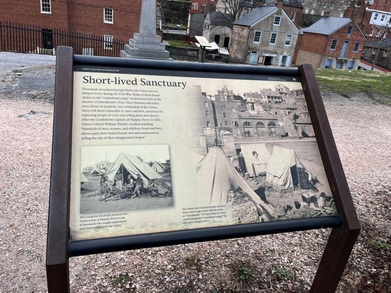
Thousands of enslaved people fled to the Union lines at Harpers Ferry during the Civil War. Some of them found shelter in the "contraband camp" located near here in the shadow of John Brown's Fort. Their freedom and safety were always in jeopardy. Any withdrawal of the Union forces left them vulnerable to slave-catchers, notorious for capturing people of color and selling them into slavery. After the confederate capture of Harpers Ferry in 1862, Union Colonel William Trimble recalled watching "hundreds of men, women, and children, bond and free, driven past; their bowed heads and sad countenances telling the tale of their disappointed hopes."
The Union Army classified people who fled slavery and sought shelter with the Army as "contrabands." To house them the Army created temporary "contraband camps" like this one in Harpers Ferry.
The young boy (back left) pictured with Union Troops at Harpers Ferry is one of thousands who sought employment and relative safety with the Union.
Erected by National Park Service, U.S. Department of the Interior.
Topics. This historical marker is listed in these topic lists: Abolition & Underground RR • African Americans • Civil Rights • War, US Civil. A significant historical year for this entry is 1862.
Location. 39° 19.412′ N, 77° 43.787′ W. Marker is in Harpers Ferry, West Virginia, in Jefferson County. Marker is on Potomac Street, on the right when traveling west. Touch for map. Marker is in this post office area: Harpers Ferry WV 25425, United States of America. Touch for directions.
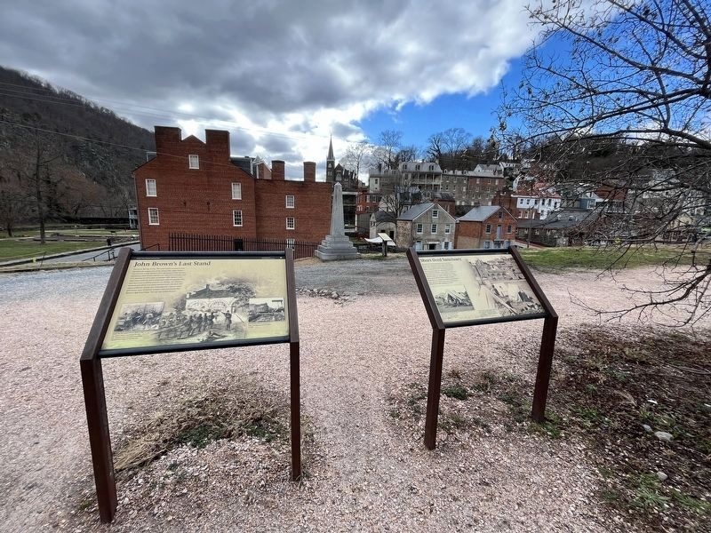
Other nearby markers. At least 8 other markers are within walking distance of this marker. John Brown's Last Stand (here, next to this marker); John Brown Monument (a few steps from this marker); Armory Grounds (a few steps from this marker); Six Acres That Changed the World (within shouting distance of this marker); Home of Joseph Perkins (within shouting distance of this marker); "I just had to speak out" (within shouting distance of this marker); Heyward Shepherd (within shouting distance of this marker); A Perfect Heap of Ruins (within shouting distance of this marker). Touch for a list and map of all markers in Harpers Ferry.
Credits. This page was last revised on December 29, 2023. It was originally submitted on July 3, 2009, by Henry T. McLin of Hanover, Pennsylvania. This page has been viewed 1,285 times since then and 26 times this year. Photos: 1, 2. submitted on December 28, 2023, by Adam Margolis of Mission Viejo, California. 3. submitted on July 3, 2009, by Henry T. McLin of Hanover, Pennsylvania. • Craig Swain was the editor who published this page.


