Dyer in Lake County, Indiana — The American Midwest (Great Lakes)
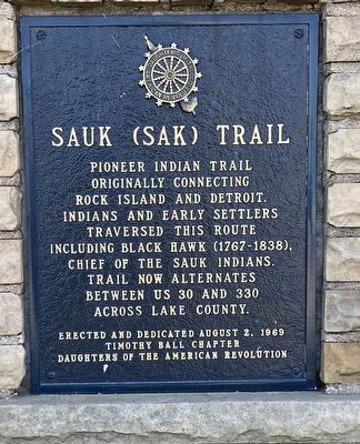
Sauk (Sak) Trail
Erected 1969 by Timothy Ball Chapter, Daughters of the American Revolution.
Topics and series. This historical marker is listed in these topic lists: Native Americans • Roads & Vehicles • Settlements & Settlers. In addition, it is included in the Daughters of the American Revolution series list. A significant historical year for this entry is 1767.
Location. 41° 29.484′ N, 87° 29.849′ W. Marker is in Dyer, Indiana, in Lake County. Marker is on Joliet Street (Road 30) west of Northwinds Drive, on the right when traveling east. Touch for map. Marker is at or near this postal address: 1250 Joliet St, Dyer IN 46311, United States of America. Touch for directions.
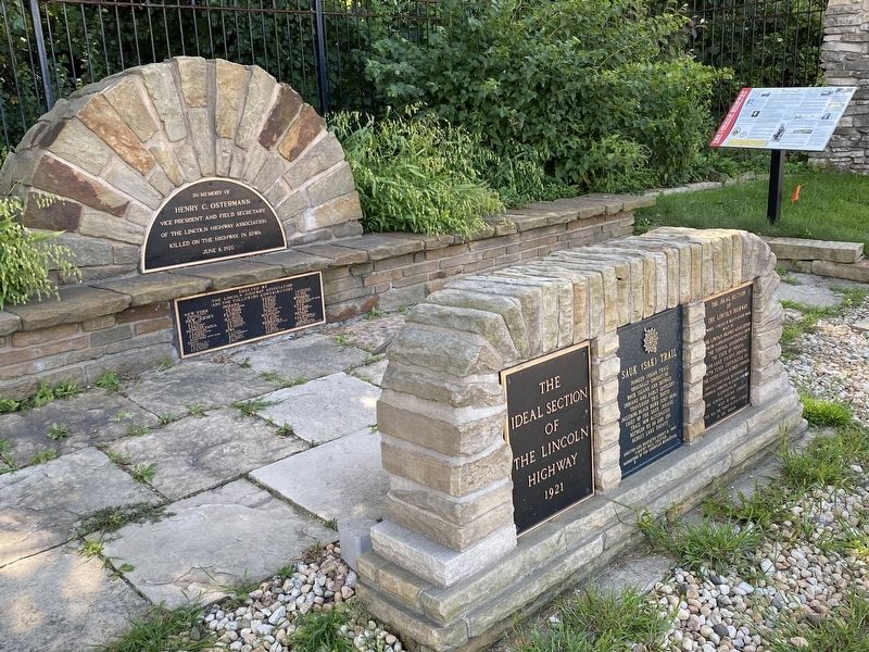
Other nearby markers. At least 8 other markers are within 3 miles of this marker, measured as the crow flies. The Ideal Section Of The Lincoln Highway (here, next to this marker); The Lincoln Highway (here, next to this marker); St. John Township School District #2 (approx. half a mile away); The Lincoln Highway / The "Ideal Section" (approx. 0.6 miles away); a different marker also named The Lincoln Highway / The "Ideal Section" (approx. 0.8 miles away); Lincoln Highway - Ideal Section - 1923 (approx. 0.9 miles away); a different marker also named The Lincoln Highway (approx. 1˝ miles away); Sauk Village (approx. 3 miles away in Illinois). Touch for a list and map of all markers in Dyer.
More about this marker. This marker of one of many located about 100 yards west of the entrance to Meyer's Castle, a public event venue. Parking space is available on the entrance drive or farther-in and is connected to the markers by sidewalk. Public parking is available across the street, but no pedestrian crosswalks are nearby and the street can be extremely busy with fast-moving traffic.
Credits. This page was last revised on September 9, 2022. It was originally submitted on August 27, 2022, by Lou Donkle of Valparaiso, Indiana. This page has been viewed 236 times since then and 57 times this year. Photos: 1, 2. submitted on August 27, 2022, by Lou Donkle of Valparaiso, Indiana. • Devry Becker Jones was the editor who published this page.

