Cambridge in Dorchester County, Maryland — The American Northeast (Mid-Atlantic)
The Sparkling Blue Choptank
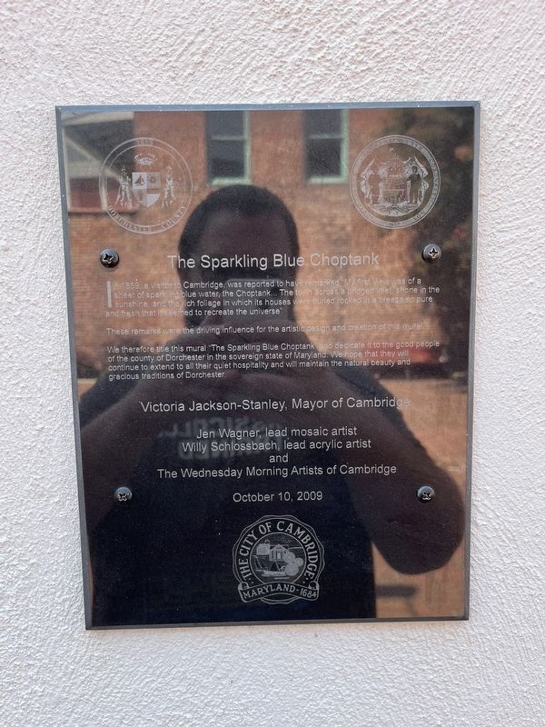
In 1869, a visitor to Cambridge, was reported to have remarked, "My first view was of a sheet of sparkling blue water, the Choptank… The town across a bridged inlet, shone in the sunshine, and the rich foliage in which its houses were buried rocked in a breeze so pure and fresh that it seemed to recreate the universe"
These remarks were the driving influence for the artistic design and creation of this mural.
We therefore title this mural "The Sparkling Blue Choptank" and dedicate it to the good people of the county of Dorchester in the sovereign state of Maryland. We hope that they will continue to extend to all their quiet hospitality and will maintain the natural beauty and gracious traditions of Dorchester.
Erected 2009 by City of Cambridge, MAryland, Victoria Jackson-Stanley, Mayor of Cambridge; Jen Wagner, lead mosaic artist; Willy Schossbach, lead acrylic artist and The Wednesday Morning Artists of Cambridge.
Topics. This historical marker is listed in these topic lists: Arts, Letters, Music • Natural Features • Natural Resources • Notable Places • Waterways & Vessels. A significant historical year for this entry is 1869.
Location. 38° 34.14′ N,
this page online

Regionally, this marker is on the Eastern Shore. It is also in the American Mid-Atlantic, on the Delmarva Peninsula, in the Tidewater, in the Chesapeake Bay Region, and on the Eastern Seaboard. Globally, it is in the North Atlantic Region, North America, the Western Hemisphere, the Western World, and the Anglosphere. Historically, it finds itself in what was once one of the original Thirteen Colonies and also the Antebellum South.
Other nearby markers. At least 8 other markers are within walking distance of this marker: Tubman Connections (a few steps from this marker); Preserving Our Architectural Heritage (within shouting distance of this marker); The Carillonic Bells (about 300 feet away, measured in a direct line); Welcome to the Richardson Maritime Museum (about 800 feet away); John Barth
Photographed by Devry Becker Jones (CC0), August 27, 2022
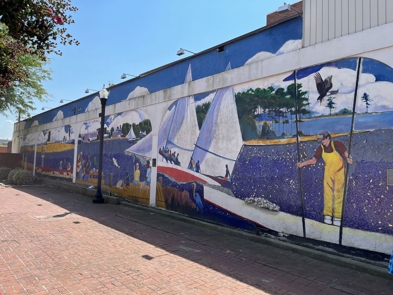
2. The Sparkling Blue Choptank mural and marker
Another marker is no longer nearby. Eastern Shore Infantry (was approx. 0.2 miles away but has been replaced with another marker now near it).
Credits. This page was last revised on August 29, 2022. It was originally submitted on August 29, 2022, by Devry Becker Jones of Washington, District of Columbia. This page has been viewed 362 times since then and 14 times this year. Photos: 1, 2. submitted on August 29, 2022, by Devry Becker Jones of Washington, District of Columbia.
