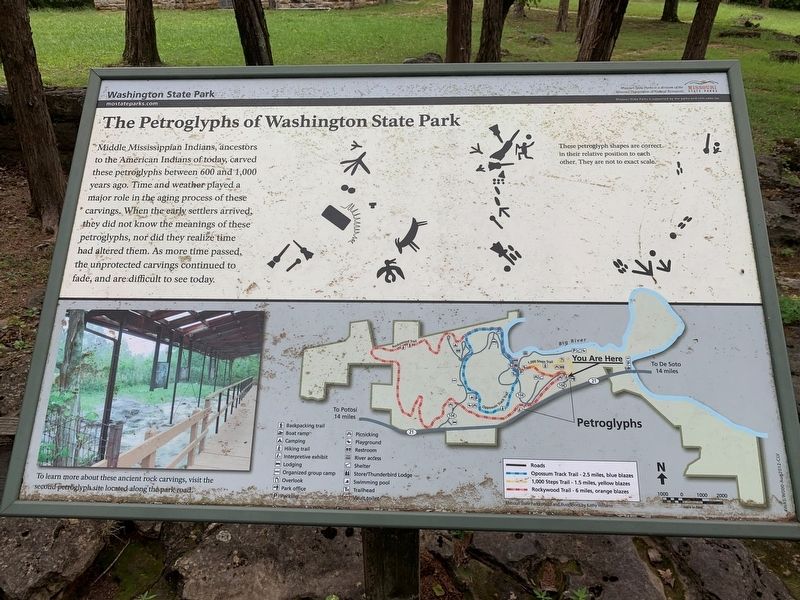
Near De Soto in Washington County, Missouri — The American Midwest (Upper Plains)
The Petroglyphs of Washington State Park
Washington State Park
Erected by Missouri Department of Natural Resources, Missouri State Parks.
Topics. This historical marker is listed in these topic lists: Anthropology & Archaeology • Native Americans.
Location. 38° 5.08′ N, 90° 41.048′ W. Marker is near De Soto, Missouri, in Washington County. Marker is on Washington State Park Road just north of State Highway 104, on the right when traveling north. The marker stands in Washington State Park. Touch for map. Marker is at or near this postal address: 10008 Washington State Park Rd, De Soto MO 63020, United States of America. Touch for directions.
Other nearby markers. At least 8 other markers are within 12 miles of this marker, measured as the crow flies. The Korean War (a few steps from this marker); Rock Carvings (approx. 0.4 miles away); Petroglyphs (approx. 0.4 miles away); Veterans Memorial (approx. 6.9 miles away); In Memory of Aime Amant Vaille (approx. 10.9 miles away); Artesian Spring / Valles Mines (approx. 10.9 miles away); Slave Cabin (approx. 10.9 miles away); a different marker also named Veterans Memorial (approx. 11.7 miles away). Touch for a list and map of all markers in De Soto.
Credits. This page was last revised on September 10, 2022. It was originally submitted on August 30, 2022, by Thomas Smith of Waterloo, Ill. This page has been viewed 142 times since then and 31 times this year. Photo 1. submitted on August 30, 2022, by Thomas Smith of Waterloo, Ill. • Devry Becker Jones was the editor who published this page.
