Wallops Island in Accomack County, Virginia — The American South (Mid-Atlantic)
An Island of Research and Exploration
— NASA Wallops Flight Facility Visitor Center —
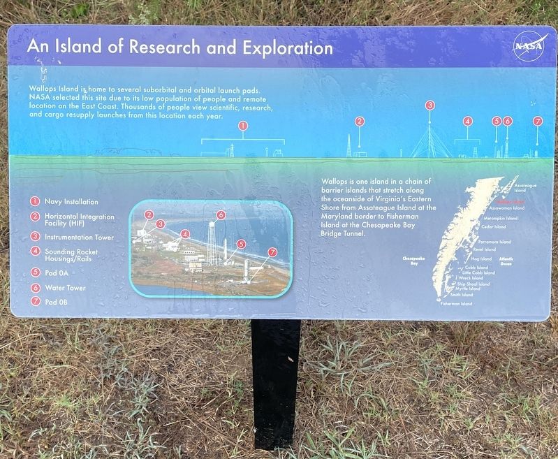
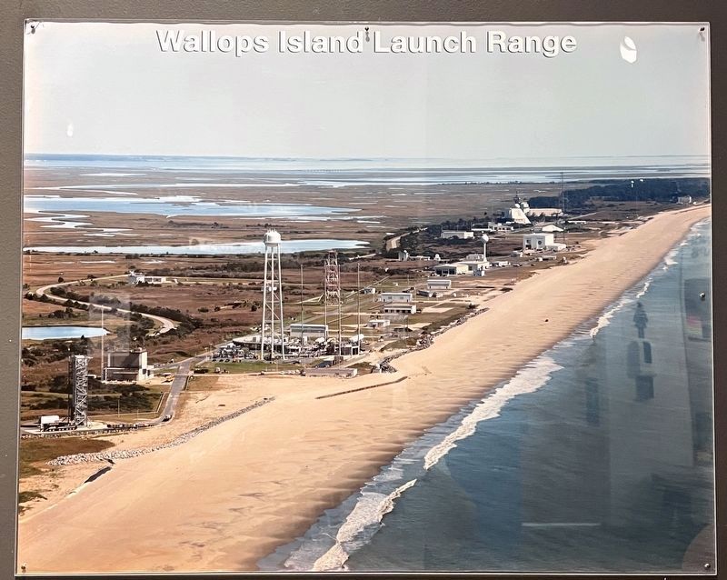
Wallops Island is, home to several suborbital and orbital launch pads. NASA selected this site due to its low population of people and remote location on the East Coast. Thousands of people view scientific, research, and cargo resupply launches from this location each year.
Wallops is one island in a chain of barrier islands that stretch along the oceanside of Virginia's Eastern Shore from Assateague Island at the Maryland border to Fisherman Island at the Chesapeake Bay Bridge Tunnel.
1. Navy Installation
2. Horizontal Integration Facility (HIF)
3. Instrumentation Tower
4. Sounding Rocket Housing/Rails
5. Pad OA
6.Water Tower
7.Pad OB
Erected by National Aeronautics and Space Administration (NASA).
Topics. This historical marker is listed in these topic lists: Air & Space • Environment • Exploration • Science & Medicine.
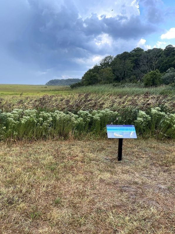
Location. 37° 56.244′ N, 75° 27.373′ W. Marker is on Wallops Island, Virginia, in Accomack County. Marker can be reached from Chincoteague Road (Virginia Route 175) 2.3 miles north of Atlantic Road, on the right when traveling north. Marker is located near Launchpad Viewing Area 1 at the NASA Wallops Flight Facility Visitor Center. Touch for map. Marker is in this post office area: Wallops Island VA 23337, United States of America. Touch for directions.
Other nearby markers. At least 8 other markers are within walking distance of this marker. Astrobee + Aerobee 150 (within shouting distance of this marker); Nike-Orion (about 400 feet away, measured in a direct line); Little Joe (about 500 feet away); Black Brant IX (about 500 feet away); Welcome to the NASA Visitor Center (about 600 feet away); Dr. Robert L. Krieger (about 600 feet away); Nike-Cajun (about 600 feet away); NASA Wallops Flight Facility (approx. 0.2 miles away). Touch for a list and map of all markers in Wallops Island.
Credits. This page was last revised on September 20, 2022. It was originally submitted on August 30, 2022, by Brandon D Cross of Flagler Beach, Florida. This page has been viewed 138 times since then and 22 times this year. Photos: 1, 2, 3, 4. submitted on August 30, 2022, by Brandon D Cross of Flagler Beach, Florida. • Bernard Fisher was the editor who published this page.


