Bucktown in Dorchester County, Maryland — The American Northeast (Mid-Atlantic)
Brodess Farm
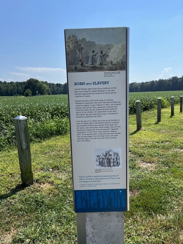
Born into Slavery
— Harriet Tubman Underground Railroad Byway —
Harriet Tubman spent some of her childhood on this farm once owned by Edward Brodess. It was here that she experienced the comforts of family and the cruelties of slavery.
Tubman was born a few miles away, on Anthony Thompson's plantation. She never knew her birthday, but evidence suggests it was in March of 1822. Her enslaved parents, Ben and Rit Ross, named her Araminta and called her Minty. By law, Edward Brodess owned Rit and all of her children. He moved them to this farm after Minty was born. Ben had to stay on Thompson's plantation, separating the family.
From the age of six, Minty was hired out by Brodess to work on nearby farms. She suffered extreme loneliness and emotional distress during these times away from her family. Like most slaves, Minty always lived with the possibility of being sold. She witnessed the "agonized expressions" of two of her sisters and the "hopeless grief" of her parents when Linah and Soph her handed over to slave traders from the Deep South. She never saw them again. This was the harsh reality of being born into slavery.
"I grew up like a neglected weed, ignorant of liberty, having no experience of it. Then I was not happy or contented."
— Harriet Tubman to Benjamin Drew, St. Catharines, Ontario, Canada, 1855
Erected by America's Byways; Maryland Heritage Area Authority. (Marker Number 17.)
Topics and series. This historical marker is listed in these topic lists: Abolition & Underground RR • African Americans • Agriculture • Industry & Commerce • Women. In addition, it is included in the Harriet Tubman Underground Railroad Byway series list. A significant historical month for this entry is March 1822.
Location. 38° 27.531′ N, 76° 2.912′ W. Marker is in Bucktown, Maryland, in Dorchester County. Marker is on Greenbrier Road, 1˝ miles east of Maple Dam Road, on the right when traveling east. Touch for map. Marker is in this post office area: Cambridge MD 21613, United States of America. Touch for directions.
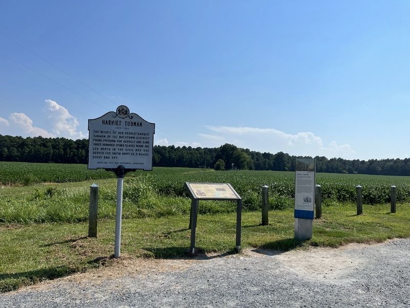
Other nearby markers. At least 8 other markers are within 4 miles of this marker, measured as the crow flies. Finding Freedom (a few steps from this marker); Harriet Tubman (within shouting distance of this marker); Resistance (approx. 0.9 miles away); Pool One at Wildlife Drive (approx. 2.6 miles away); The American Bald Eagle (approx. 2.8 miles away); The Chesapeake Bay Ecosystem (approx. 2.8 miles away); Muskrat and Nutria (approx. 2.8 miles away); Delmarva Peninsula Fox Squirrel (approx. 3.2 miles away). Touch for a list and map of all markers in Bucktown.
Additional keywords. human
Credits. This page was last revised on September 1, 2022. It was originally submitted on August 31, 2022, by Devry Becker Jones of Washington, District of Columbia. This page has been viewed 1,030 times since then and 341 times this year. Photos: 1, 2, 3. submitted on August 31, 2022, by Devry Becker Jones of Washington, District of Columbia.

![Brodess Farm Marker [Reverse]. Click for full size. Brodess Farm Marker [Reverse] image. Click for full size.](Photos6/675/Photo675724.jpg?831202282700AM)
