Bucktown in Dorchester County, Maryland — The American Northeast (Mid-Atlantic)
Resistance
Harriet Tubman Underground Railroad National Historical Park
— National Park Service, U.S. Department of the Interior —
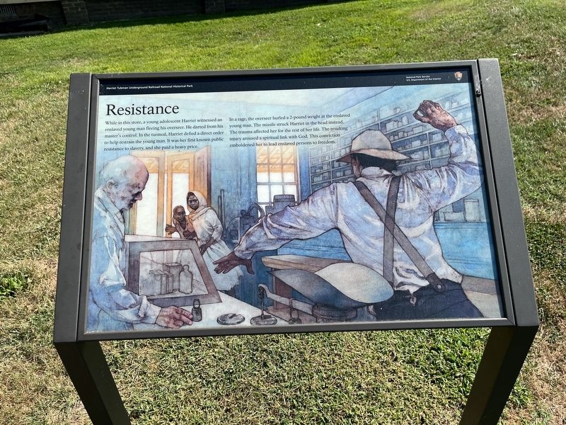
While in this store, a young adolescent Harriet witnessed an enslaved young man fleeing his overseer. He darted from his master's control. In the turmoil, Harriet defied a direct order to help restrain the young man. It was her first known public resistance to slavery, and she paid a heavy price.
In a rage, the overseer hurled a 2-pound weight at the enslaved young man. The missile struck Harriet in the head instead. The trauma affected her for the rest of her life. The resulting injury aroused a spiritual link with God. This conviction emboldened her to lead enslaved persons to freedom.
Erected by National Park Service, U.S. Department of the Interior.
Topics. This historical marker is listed in these topic lists: Abolition & Underground RR • African Americans • Industry & Commerce • Notable Events • Women.
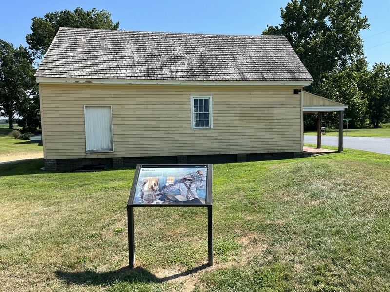
Location. 38° 27.558′ N, 76° 1.877′ W. Marker is in Bucktown, Maryland, in Dorchester County. Marker is at the intersection of Bucktown Road and Greenbriar Road, on the right when traveling north on Bucktown Road. Touch for map. Marker is at or near this postal address: 4303 Bucktown Rd, Cambridge MD 21613, United States of America. Touch for directions.
Other nearby markers. At least 8 other markers are within 5 miles of this marker, measured as the crow flies. Harriet Tubman (approx. 0.9 miles away); Brodess Farm (approx. 0.9 miles away); Finding Freedom (approx. 0.9 miles away); Pool One at Wildlife Drive (approx. 3˝ miles away); The American Bald Eagle (approx. 3.6 miles away); The Chesapeake Bay Ecosystem (approx. 3.6 miles away); Muskrat and Nutria (approx. 3.6 miles away); Delmarva Peninsula Fox Squirrel (approx. 4.1 miles away). Touch for a list and map of all markers in Bucktown.

Photographed By Devry Becker Jones (CC0), August 27, 2022
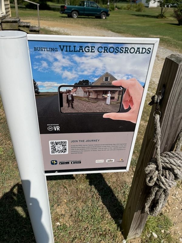
3. Nearby signage for the Harriet Tubman Underground Railroad Byway
Credits. This page was last revised on August 31, 2022. It was originally submitted on August 31, 2022, by Devry Becker Jones of Washington, District of Columbia. This page has been viewed 109 times since then and 18 times this year. Photos: 1, 2, 3. submitted on August 31, 2022, by Devry Becker Jones of Washington, District of Columbia.

