Antioch in Nashville in Davidson County, Tennessee — The American South (East South Central)
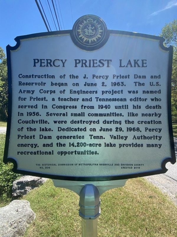
Percy Priest Lake
Erected 2019 by the Historical Commission of Metropolitan Nashville and Davidson County. (Marker Number 206.)
Topics. This historical marker is listed in these topic lists: Parks & Recreational Areas • Waterways & Vessels.
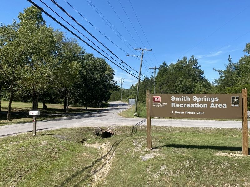
Location. 36° 5.242′ N, 86° 36.077′ W. Marker is in Nashville, Tennessee, in Davidson County. It is in Antioch. Marker is on Smith Springs Road, 0.2 miles east of Old Anderson Road, on the left when traveling east. Touch for map. Marker is at or near this postal address: 3037 Smith Springs Rd, Antioch TN 37013, United States of America. Touch for directions.
Other nearby markers. At least 8 other markers are within 5 miles of this marker, measured as the crow flies. GranDale (approx. 2˝ miles away); Una Community (approx. 3 miles away); Alice Thompson Collinsworth (approx. 3.9 miles away); Locust Hill (approx. 4.2 miles away); Ezell House (approx. 4.3 miles away); Tennessee Hospital for the Insane (approx. 4˝ miles away); Sherrod Bryant (approx. 4˝ miles away); Antioch High School (approx. 4˝ miles away). Touch for a list and map of all markers in Nashville.
Credits. This page was last revised on February 7, 2023. It was originally submitted on September 1, 2022, by Darren Jefferson Clay of Duluth, Georgia. This page has been viewed 466 times since then and 14 times this year. Photos: 1, 2. submitted on September 1, 2022, by Darren Jefferson Clay of Duluth, Georgia. • Mark Hilton was the editor who published this page.

