Sauk Rapids in Benton County, Minnesota — The American Midwest (Upper Plains)
Minnesota Territory 1849-1858 / Benton County Takes Shape
Inscription.
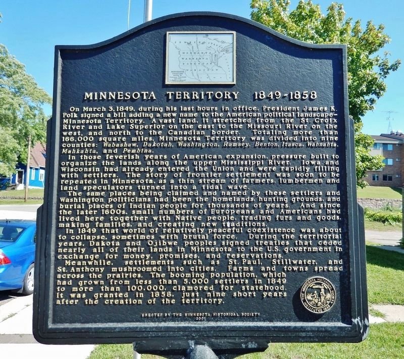
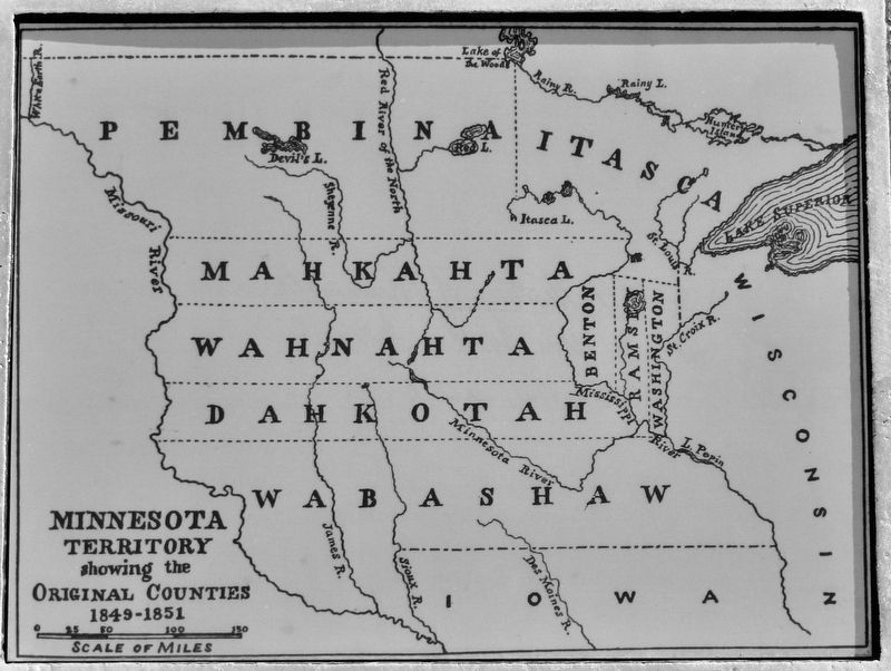
In those feverish years of American expansion, pressure built to organize the lands along the upper Mississippi River. Iowa and Wisconsin had already entered the Union and were rapidly filling with settlers. The story of frontier settlement was soon to be repeated in Minnesota, as a thin stream of farmers, lumbermen and land speculators turned into a tidal wave.
The same places being claimed and named by these settlers and Washington politicians had been the homelands, hunting grounds, and burial places of Indian people for thousands of years. And since the later 1600s, small numbers of Europeans and Americans had lived here together with Native people, trading furs and goods, making families, and creating new traditions.
In 1849 that world of relatively peaceful coexistence was about to collapse, sometimes with brutal force. During the territorial years, Dakota and Ojibwe people signed treaties that ceded nearly all of their lands in Minnesota to the U.S. government in exchange for money, promises, and reservations.
Meanwhile settlements such as St. Paul, Stillwater, and St. Anthony mushroomed into cities. Farms and towns spread across the prairies. The booming population, which had grown from less than 5,000 settlers in 1849 to more than 100,000, clamored for statehood. It was granted in 1858, just nine short years after the creation of the territory.
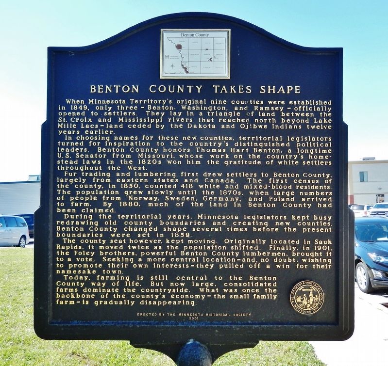
In choosing names for these new counties, territorial legislators turned for inspiration to the country’s distinguished political leaders. Benton County honors Thomas Hart Benton, a longtime U.S. Senator from Missouri, whose work on the country’s homestead laws in the 1820s won him the gratitude of white settlers throughout the West.
Fur trading and lumbering first drew settlers to Benton County, largely from eastern states and Canada. The first census of the county, in 1850, counted 418 white and mixed-blood residents. The population grew slowly until the 1870s, when large numbers of people from Norway, Sweden, Germany, and Poland arrived to farm. By 1880, much of the land in Benton County had been claimed.
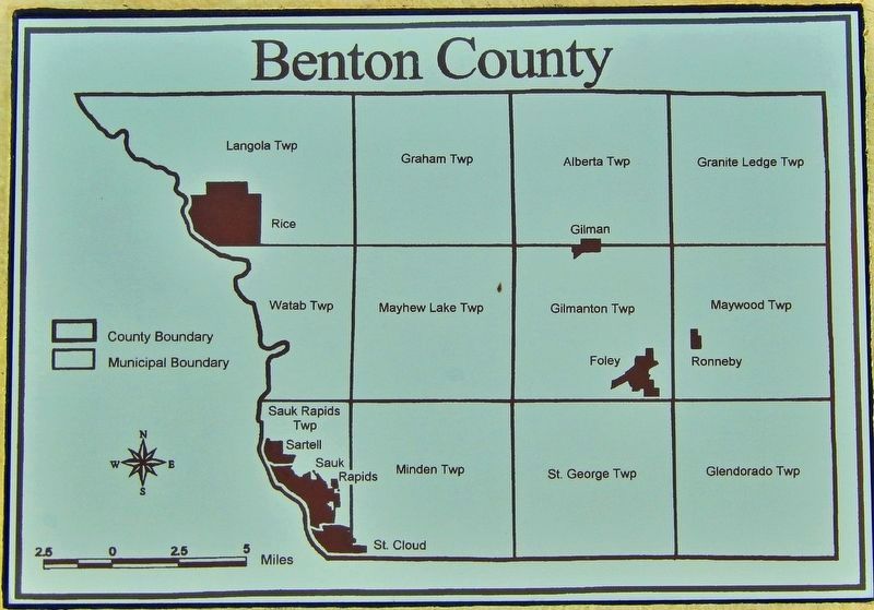
During the territorial years, Minnesota legislators kept busy redrawing old county boundaries and creating new counties. Benton County changed shape several times before the present boundaries were set in 1859.
The county seat however, kept moving. Originally located in Sauk Rapids, it moved twice as the population shifted. Finally, in 1901, the Foley brothers, powerful Benton County lumbermen, brought it to a vote. Seeking a more central location — and, no doubt, wishing to promote their own interests — they pulled off a win for their namesake town.
Today, farming is still central to the Benton County way of life. But now large, consolidated farms dominate the countryside. What was once the backbone of the county’s economy — the small family farm — is gradually disappearing.
Erected 2001 by Minnesota Historical Society.
Topics and series. This historical marker is listed in these topic lists: Agriculture • Immigration
• Native Americans • Settlements & Settlers. In addition, it is included in the Minnesota Historical Society series list. A significant historical date for this entry is March 3, 1849.
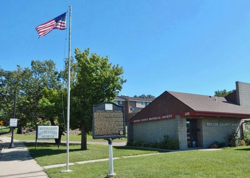
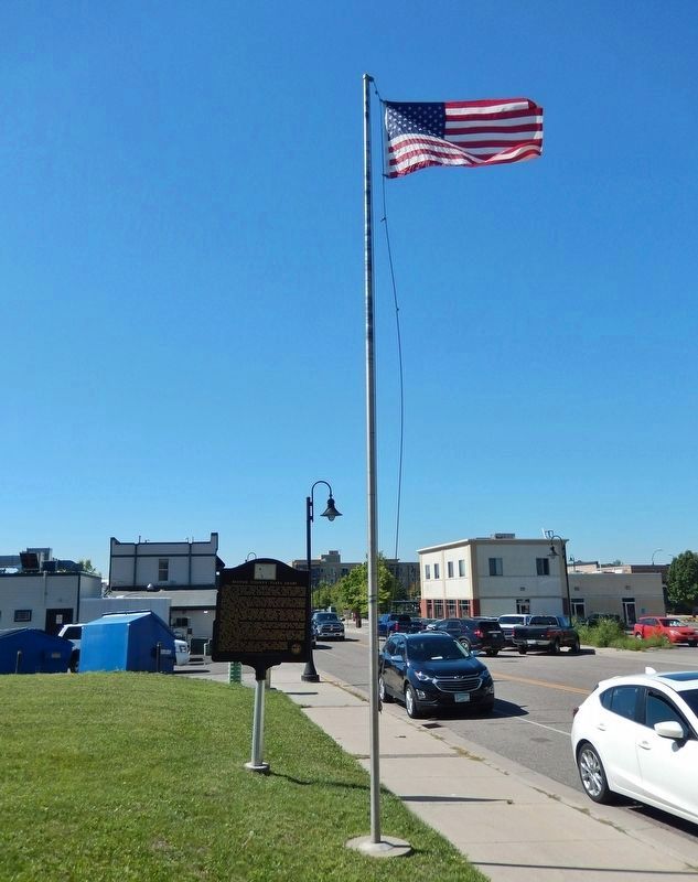
Location. 45° 35.459′ N, 94° 9.911′ W. Marker is in Sauk Rapids, Minnesota, in Benton County. Marker is on 1st Street North just south of 3rd Avenue North, on the right when traveling north. Marker is located beside the sidewalk, directly in front of the Benton County Historical Society building. Touch for map. Marker is at or near this postal address: 218 1st Street North, Sauk Rapids MN 56379, United States of America. Touch for directions.
Other nearby markers. At least 8 other markers are within 3 miles of this marker, measured as the crow flies. Holy Guardian Angels Church (approx. 1.9 miles away); Daniel Building (approx. 2.1 miles away); McClure & Searle [Building] (approx. 2.1 miles away); D.B. Searle Building (approx. 2.1 miles away); B.P.O.E. Building (approx. 2.1 miles away); Petters Building (approx. 2.1 miles away); United States Post Office (approx. 2.2 miles away); Breen Hotel (approx. 2.2 miles away).
Also see . . .
1. The History of Benton County.
The earliest settlement was established in 1848 by David Gilman in Watab. He established a trading post at that place. Jeremiah Russell arrived in 1849 to take charge of the American Fur Company's trading post in Sauk Rapids. Settlement expanded into the interior of the county in the eighteen-sixties and seventies. Yankees and immigrants from several European countries settled in the county in the nineteenth century. The most predominant ethnic group was the Germans, who developed the area around Duelm and Mayhew Lake. The second largest nationality represented in the county are the Polish. "Alberta Colony" was promoted by several prominent Poles in Chicago. It grew quickly after 1877. The Scandinavians are the third largest group; they settled mainly in the southern and eastern parts of the county. Smaller groups of Irish, Belgians, French, and French-Canadians had small settlements also.(Submitted on September 1, 2022, by Cosmos Mariner of Cape Canaveral, Florida.)
2. Benton County, Minnesota.
Established in 1849 and organized in 1850, the county is one of the oldest in Minnesota. Its county seat for many years was Sauk Rapids, at the confluence of the Sauk and Mississippi Rivers. The county seat moved to Watab in 1856 and returned to Sauk Rapids in 1859. Sauk Rapids became the terminus of a railroad line in 1874, but was destroyed by a tornado in 1886. In 1897 the county seat moved to Foley, where it remains. As St. Cloud expanded into a metropolitan area, the northern part of Benton County became a suburb.(Submitted on September 1, 2022, by Cosmos Mariner of Cape Canaveral, Florida.)
3. Thomas Hart Benton.
A member of the Democratic Party, he was an architect and champion of westward expansion by the United States, a cause that became known as Manifest Destiny. Benton served in the Senate from 1821 to 1851, becoming the first member of that body to serve five terms. Benton's prime concern was the westward expansion of the United States. He called for the annexation of the Republic of Texas, which was accomplished in 1845. He pushed for compromise in the partition of Oregon Country with the British and supported the 1846 Oregon Treaty, which divided the territory along the 49th parallel. He also authored the first Homestead Act, which granted land to settlers willing to farm it.(Submitted on September 1, 2022, by Cosmos Mariner of Cape Canaveral, Florida.)
Credits. This page was last revised on September 9, 2022. It was originally submitted on September 1, 2022, by Cosmos Mariner of Cape Canaveral, Florida. This page has been viewed 252 times since then and 48 times this year. Photos: 1, 2, 3, 4, 5, 6. submitted on September 1, 2022, by Cosmos Mariner of Cape Canaveral, Florida.
