Denton in Caroline County, Maryland — The American Northeast (Mid-Atlantic)
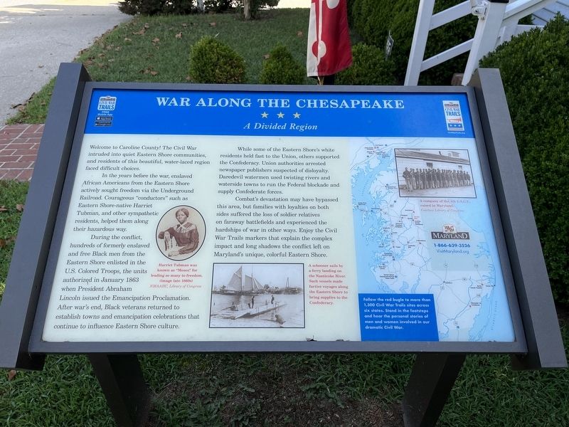
War Along the Chesapeake
A Divided Region
Welcome to Caroline County! The Civil War intruded into quiet Eastern Shore communities, and residents of this beautiful, water-laced region faced difficult choices.
In the years before the war, enslaved African Americans from the Eastern Shore actively sought freedom via the Underground Railroad. Courageous "conductors" such as Eastern Shore-native Harriet Tubman, and other sympathetic residents, helped them along their hazardous way.
During the conflict, hundreds of formerly enslaved and free Black men from the Eastern Shore enlisted in the U.S. Colored Troops, the units authorized in January 1863 when President Abraham Lincoln issued the Emancipation Proclamation. After war's end, Black veterans returned to establish towns and emancipation celebrations that continue to influence Eastern Shore culture.
While some of the Eastern Shore's white residents held fast to the Union, others supported the Confederacy. Union authorities arrested newspaper publishers suspected of disloyalty. Daredevil watermen used twisting rivers and waterside towns to run the Federal blockade and supply Confederate forces.
Combat's devastation may have bypassed this area, but families with loyalties on both sides suffered the loss of soldier relatives on faraway battlefields and experienced the hardships of war in other ways. Enjoy the civil War Trails markers that explain the complex impact and long shadows the conflict left on Maryland's unique, colorful Eastern Shore.
[Sidebar:]
Follow the red bugle to more than 1,300 Civil War Trails sites across six tates. Stand in the footsteps and hear the personal stories of men and women involved in our dramatic Civil War.
[Captions:]
Harriet Tubman was known as "Moses" for leading so many to freedom (image late 1860s)
A schooner sails by a ferry landing on the Nanticoke River. Such vessels made furtive voyages along the Eastern Shore to bring supplies to the Confederacy.
Erected by Maryland Civil War Trails.
Topics and series. This historical marker is listed in these topic lists: Abolition & Underground RR • African Americans • War, US Civil • Waterways & Vessels. In addition, it is included in the Maryland Civil War Trails series list. A significant historical month for this entry is January 1863.
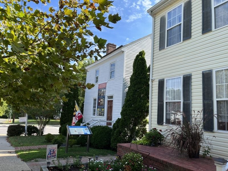
Location. 38° 53.225′ N, 75° 49.925′ W. Marker is in Denton, Maryland, in Caroline County. Marker is on North 2nd Street just south of Gay Street (Maryland Route 404), on the right when traveling north. Touch for map. Marker is at or near this postal address: 16 N 2nd St, Denton MD 21629, United States of America. Touch for directions.
Other nearby markers. At least
Related marker. Click here for another marker that is related to this marker. This marker has replaced the linked marker.
Credits. This page was last revised on September 5, 2022. It was originally submitted on September 5, 2022, by Devry Becker Jones of Washington, District of Columbia. This page has been viewed 129 times since then and 25 times this year. Photos: 1, 2. submitted on September 5, 2022, by Devry Becker Jones of Washington, District of Columbia.

