Martinsville, Virginia — The American South (Mid-Atlantic)
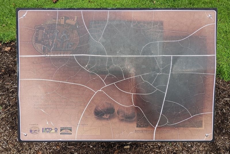
Changing Landscapes
The Dick & Willie Passage
| — | Smith River Trail System | — |
Photographed by Bernard Fisher, September 8, 2022
1. Changing Landscapes Marker
Unfortunately by 1950, the mighty American Chestnut forests of the Appalachian highlands had succumbed to an Asian fungus, Cryphonectria parasitica. This "chestnut blight" killed more than three billion American Chestnut trees and serves as a reminder that stopping invasive species is vital to native landscapes.
(captions)
Gathering Chestnuts by J.W. Lauderbach Photo courtesy of The Americamn Chestnut Foundation
American Chestnut Photo courtesy of The Americamn Chestnut Foundation
Erected by City of Martinsville Department of Parks & Recreation, Henry County Parks & Recreation, Dan River Basin Association, the harvest foundation.
Topics. This historical marker is listed in these topic lists: Environment • Horticulture & Forestry •
this page online
Location. 36° 42.092′ N, 79° 52.978′ W. Marker is unreadable. Marker is in Martinsville, Virginia. It can be reached from the intersection of Virginia Avenue (Business U.S. 220) and Commonwealth Boulevard, on the right when traveling north. Access the trailhead from the west end of the shopping center. Touch for map. Marker is at or near this postal address: 1094 Virginia Ave, Martinsville VA 24112, United States of America. Touch for directions.

Regionally, this marker is in Southern Virginia. It is also in the American South and specifically in the Upper South. Globally, it is in North America, the Western Hemisphere, the Western World, and the Anglosphere. Historically, it finds itself in what was once the territory of the Mississippian Culture, one of the original Thirteen Colonies, one of the Confederate States of America, and the Antebellum South.
Other nearby markers. At least 8 other markers are within walking distance of this location: The Dick & Willie Passage (approx. 0.4 miles away); Fayette Street (approx.
Photographed by Bernard Fisher, September 8, 2022
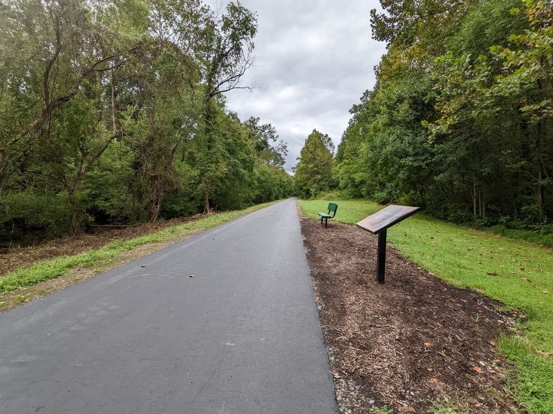
2. Changing Landscapes Marker
Also see . . .
1. Dick & Willie Passage Rail Trail. Official Tourism Site for Martinsville-Henry County, Virginia (Submitted on September 9, 2022.)
2. Dick & Willie Passage Rail Trail. TrailLink by Rails-to-Trails Conservancy (Submitted on September 9, 2022.)
Credits. This page was last revised on August 6, 2024. It was originally submitted on September 9, 2022, by Bernard Fisher of Richmond, Virginia. This page has been viewed 219 times since then and 27 times this year. Photos: 1, 2. submitted on September 9, 2022, by Bernard Fisher of Richmond, Virginia.
