
South Boston in Halifax County, Virginia — The American South (Mid-Atlantic)
What a Way to Cross the River!
Photographed by Bernard Fisher, September 8, 2022
1. What a Way to Cross the River! Marker
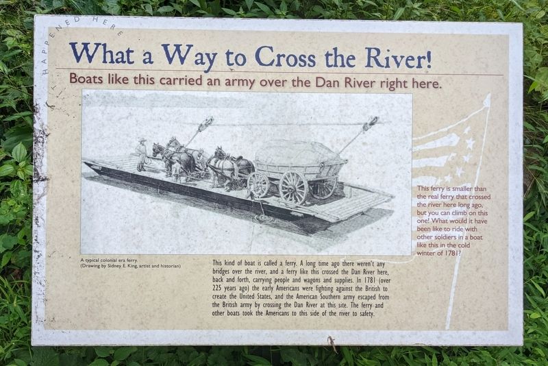
This kind of boat is called a ferry. A long time ago there weren't any bridges over the river, and a ferry like this crossed the Dan River here, back and forth, carrying people and wagons and supplies. In 1781 (over 225 years ago) the early Americans were fighting against the British to create the United States, and the American Southern army escaped from the British army by crossing the Dan River at this site. The ferry and other boats took the Americans to this side of the river to safety.
(captions)
This ferry is smaller than the real ferry that crossed the river here long ago, but you can climb on this one! What would it have been like to ride with other soldiers in a boat like this in the cold winter of 1781?
A typical colonial era ferry (Drawing by Sidney E. King, artist and historian)
Topics. This historical marker is listed in these topic lists: Colonial Era • War, US Revolutionary • Waterways & Vessels. A significant historical date for this entry is February 14, 1781.
Location. 36° 41.591′ N, 78° 54.2′ W. Marker is in South Boston, Virginia, in
this page online

Regionally, this marker is in Virginia’s Piedmont, in Southside Virginia, and specifically in Central Virginia. It is also in the American South and specifically in the Upper South. Globally, it is in North America, the Western Hemisphere, the Western World, and the Anglosphere. Historically, it finds itself in what was once the territory of the Mississippian Culture, one of the original Thirteen Colonies, one of the Confederate States of America, and the Antebellum South.
Other nearby markers. At least 8 other markers are within walking distance of this marker: Boyd's Ferry on the Dan River (here, next to this marker); The Race to the Dan (here, next to this marker); The Crossing of the Dan River (here, next to this marker); Crossing of the Dan Monument (a few
Photographed by Bernard Fisher, September 8, 2022
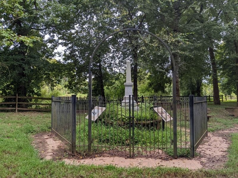
2. Crossing of the Dan Monument & Markers
Credits. This page was last revised on September 10, 2022. It was originally submitted on September 9, 2022, by Bernard Fisher of Richmond, Virginia. This page has been viewed 399 times since then and 33 times this year. Photos: 1, 2. submitted on September 9, 2022, by Bernard Fisher of Richmond, Virginia.
