Butte in Silver Bow County, Montana — The American West (Mountains)
The Berkeley Pit Threatens the Water
METALS
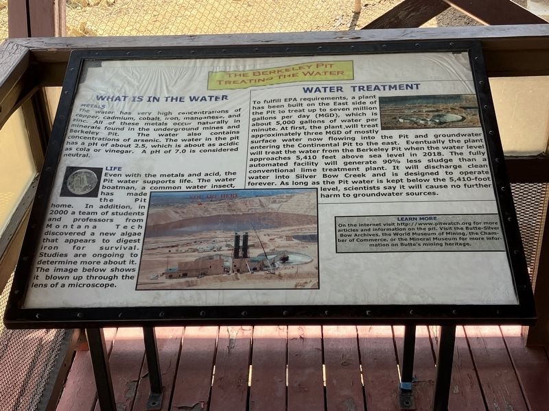
The water has very high concentrations of copper, cadmium, cobalt, iron, magnesium, and zinc. All of these metals occur naturally in minerals found in the underground mines and Berkeley Pit. The water also contains concentrations of arsenic. The water in the pit has a pH of about 2.5, which is about as acidic as cola or vinegar. A pH of 7.0 is considered neutral.
LIFE
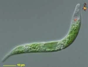
Even with the metals and acid, the Pit water supports life. The water boatman, a common water insect, has made the Pit home. In addition, in 2000 a team of students and professors from Montana Tech discovered a new algae that appears to digest iron for survival. Studies are ongoing to determine more about ti. The image below (sic, above, right) shows it blown up through the lens of a microscope.
To fulfill EPA requirements, a plant has been built on the East side of the Pit to treat up to seven million gallons per day (MGD), which is about 5,000 gallons of water per minute. At first, the plant will treat approximately three MGD of mostly surface water now flowing into the Pit and groundwater entering the Continental Pit to the east. Eventually the plant will treat the water from the Berkeley Pit when the water level approaches 5,410 feet above sea level in 2018. The fully automated facility will generate 90% less sludge than a conventional lime treatment plant. It will discharge clean water into Silver Bow Creek and is designed to operate forever. As long as the Pit water is kept below the 5,410-foot level, scientist say it will cause no further harm to groundwater sources.
Topics. This historical marker is listed in these topic lists: Man-Made Features • Science & Medicine.
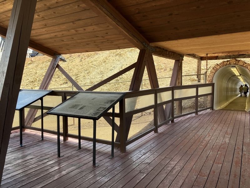
Location. 46° 0.705′ N, 112° 31.073′ W. Marker is in Butte, Montana, in Silver Bow County. Marker can be reached from Continental Drive near Madison Street, on the left when traveling south. The viewing platform is accessed through a tunnel from the ticket office. Touch for map. Marker is at or near this postal address: 300 Continental Drive, Butte MT 59701, United States of America. Touch for directions.
Other nearby markers. At least 8 other markers are within walking distance of this marker. Mining The Berkeley Pit 1955-1982 (here, next to this marker); The Berkeley Pit: The Water Returns (here, next to this marker); Butte Mining Through the Years (here, next to this marker); James Naughten Residence (approx. 0.6 miles away); Butte's Underground Mines (approx. 0.7 miles away); Butte (approx. 0.7 miles away); St. Joseph's Catholic Church (approx. ¾ mile away); Salvation Army Building (approx. ¾ mile away). Touch for a list and map of all markers in Butte.
Also see . . . The Pit of Life and Death -- Damn Interesting. In 1995, an analytic chemist named William Chatham saw something unusual in the allegedly lifeless lake: a small clump of green slime floating on the water’s surface. He snagged a sample and... (Submitted on September 10, 2022, by Barry Swackhamer of Brentwood, California.)
Credits. This page was last revised on September 10, 2022. It was originally submitted on September 10, 2022, by Barry Swackhamer of Brentwood, California. This page has been viewed 100 times since then and 18 times this year. Photos: 1, 2, 3. submitted on September 10, 2022, by Barry Swackhamer of Brentwood, California.


