East Bayside in Portland in Cumberland County, Maine — The American Northeast (New England)
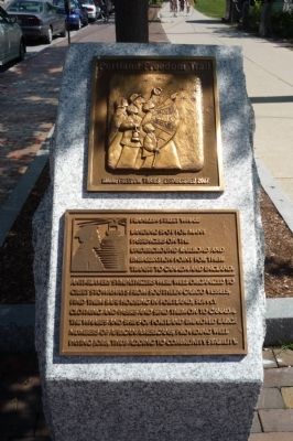
Franklin Street Wharf
Portland Freedom Trail
Landing spot for many passengers on the Underground Railroad and embarkation point for their transit to Canada and England.
Anti-slavery sympathizers were well-organized to greet stowaways from Southern cargo vessels, find them safe housing in Portland, supply clothing and passes and send them on to Canada.
The wharves and ships of Portland employed large numbers of African Americans, providing well paying jobs, thus adding to community stability.
Erected 2007 by Maine Freedom Trails. (Marker Number 1.)
Topics and series. This historical marker is listed in these topic lists: Abolition & Underground RR • African Americans • Industry & Commerce • Waterways & Vessels. In addition, it is included in the Maine, Portland Freedom Trail series list.
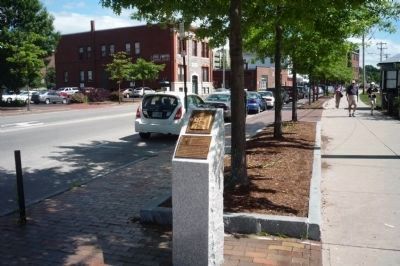
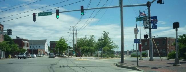
Location. 43° 39.499′ N, 70° 14.965′ W. Marker is in Portland, Maine, in Cumberland County. It is in East Bayside. Marker is at the intersection of Commercial Street (U.S. 1) and Franklin Arterial (U.S. 1), on the right when traveling north on Commercial Street. Marker is off the sidewalk on Commercial Street, west of the entrance to the Portland Ocean Terminal at Pier 2 (the Thames Street/Maine State Pier). Touch for map. Marker is at or near this postal address: 40 Commerical Street, Portland ME 04101, United States of America. Touch for directions.
Other nearby markers. At least 8 other markers are within walking distance of this marker. Today, you see a healthier Casco Bay / Take a closer look (about 300 feet away, measured in a direct line); A Dirty History of Casco Bay (about 300 feet away); Casco Bay's four thousand years of sustainable, stable productivity (about 300 feet away); India Street Terminal (about 500 feet away); The Site of Fort Loyal (about 500 feet away); Hack Stand of Charles H.L. Pierre (about 800 feet away); On this site (approx. 0.2 miles away); Tug Stamford Propeller (approx. 0.2 miles away). Touch for a list and map of all markers in Portland.
Also see . . . Portland Freedom Trail. (Submitted on July 7, 2009, by Richard E. Miller of Oxon Hill, Maryland.)
Credits. This page was last revised on February 13, 2023. It was originally submitted on July 7, 2009, by Richard E. Miller of Oxon Hill, Maryland. This page has been viewed 2,367 times since then and 30 times this year. Photos: 1, 2, 3. submitted on July 7, 2009, by Richard E. Miller of Oxon Hill, Maryland. • Kevin W. was the editor who published this page.


