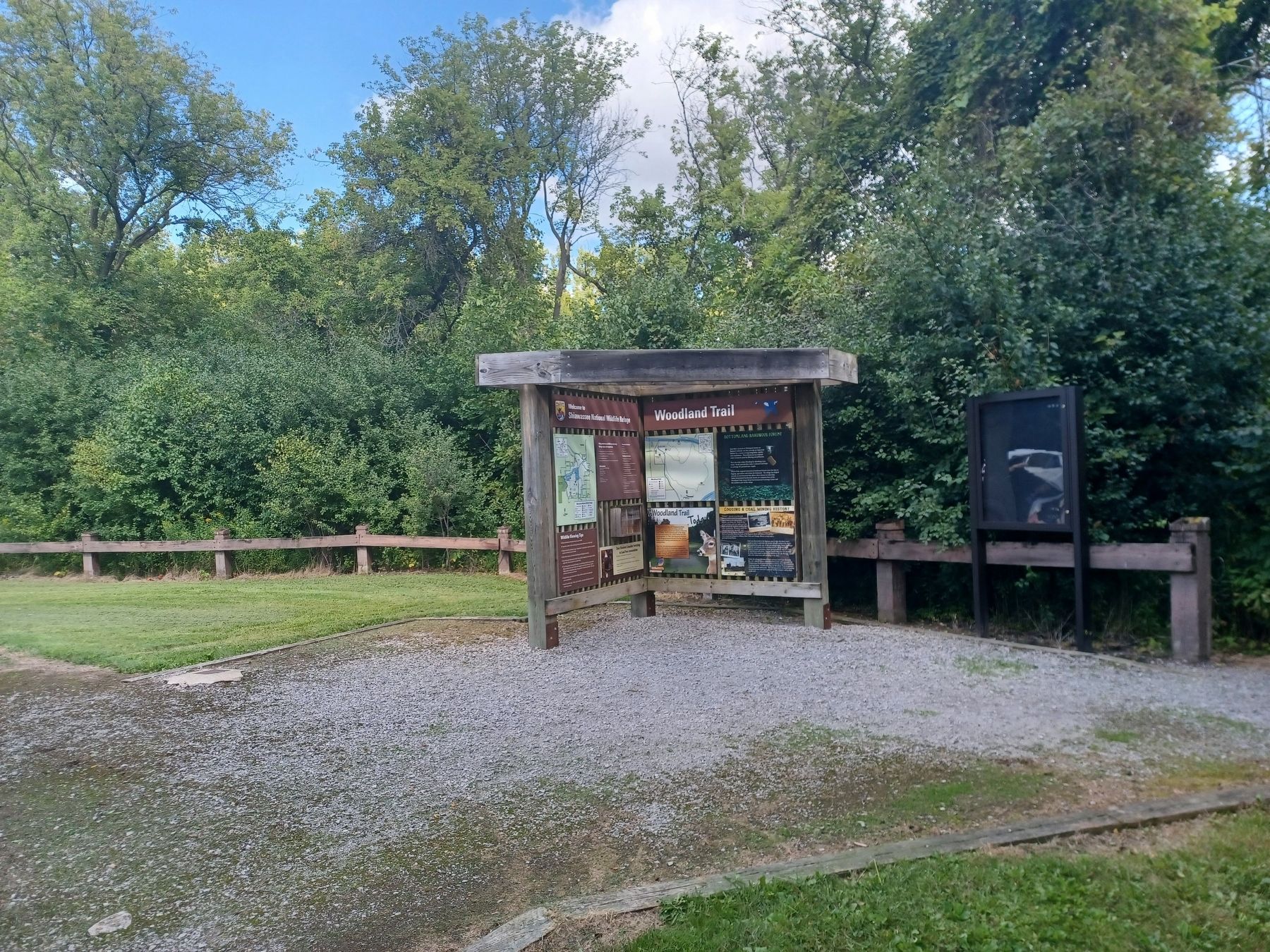
Near Saginaw in Saginaw County, Michigan — The American Midwest (Great Lakes)
Woodland Trail
Woodland Trail right side, top left panel
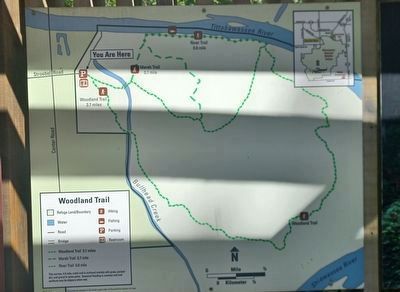
[Trail map]
Bottomland Hardwood Forest right side, top right panel
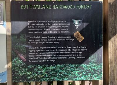
Less than 2 percent of Michigan's forests are forested wetlands, yet they provide an important habitat for a variety of migrating birds, reptiles and amphibians. These forests act as a natural water treatment plant by filtering out pollutants.
They also help reduce flooding by absorbing extra water. In dry periods this water is released and helps to recharge the groundwater supply.
Much of the original bottomland hardwood forests were lost due to logging, agriculture and urban development. The refuge has helped recreate an environment that allows these forests to redevelop. Today bottomland hardwoods forests are common here at the Woodland Trail, Green Point Environmental Learning Center and the southern part of the refuge.
Logging & Coal Mining History right side, bottom right panel
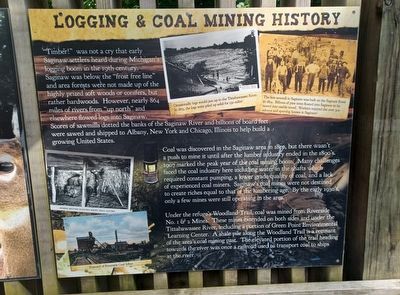
"Timber!" was not a cry that early Saginaw settlers heard during Michigan's logging boom in the 19th century. Saginaw was below the "frost free line" and area forests were not made up of the highly prized soft woods or conifers, but rather hardwoods. However, nearly 864 miles of rivers from "up north" and elsewhere flowed logs into Saginaw. Scores of sawmills dotted the banks of the Saginaw River and billions of board feet were sawed and shipped to Albany, New York and Chicago, Illinois to help build a growing United States.
Top left image caption: Occasionally logs would jam up in the Tittabawassee River. In 1873, the logs were piled up solid for 130 miles!
Top right image caption: The first sawmill in Saginaw was built on the Saginaw River in 1834. Billions of pine trees floated into Saginaw to be sawed into usable wood. Workers enjoyed the over 300 saloons and sporting houses in Saginaw!
Coal was discovered in the Saginaw area in 1850, but there wasn't a push to mine it until after the lumber industry ended in the 1890's. 1907 marked the peak year of the coal mining boom. Many challenges faced the coal industry here including water in the shafts which required constant pumping, a lower grade quality of coal, and a lack of experienced coal miners. Saginaw's coal mines were not destined to create riches equal to that of the lumbering age. By the early 1930's, only a few mines were still operating in the area.
Under the refuge's Woodland Trail, coal was mined from Riverside No.1 & 2 Mines. These mines extended on both sides and under the Tittabawassee River, including a portion of Green Point Environmental Learning Center. A shale pile along the Woodland Trail is a remnant of the area's coal mining past. The elevated portion of the trail heading towards the river was once a railroad used to transport coal to ships at the river.
Woodland Trail Today right side, bottom left panel
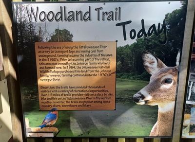
Following the era of using the Tittabawassee River as a way to transport logs and mining coal from underground, farming became the industry of the area in the 1930's. Prior to becoming part of the refuge, this area was owned by the Johnson family who lived and farmed here. In 1964, the Shiawassee National Wildlife Refuge purchased this land from the Johnson family; however, farming continued into the 1970's in some portions.
Since then, the trails have provided thousands of visitors with a variety of recreational opportunities. Over 4.5 miles of trails provides visitors a place to hike, bike and fish on the Tittabawassee River in the warmer months. In winter, the trails are popular among cross-country skiers, snowshoers and hikers.
Erected by U.S. Fish & Wildlife Service.
Topics. This historical marker is listed in these topic lists: Environment • Industry & Commerce • Parks & Recreational Areas. A significant historical year for this entry is 1873.
Location. 43° 23.41′ N, 84° 0.702′ W. Marker is near Saginaw, Michigan
, in Saginaw County. Marker is on Stroebel Road, 0.2 miles east of South Center Road, on the left when traveling east. Marker is in Shiawassee National Wildlife Refuge next to the parking lot and the entrance to the Woodland Trail. Touch for map. Marker is at or near this postal address: 5050 Stroebel Road, Saginaw MI 48609, United States of America. Touch for directions.
Other nearby markers. At least 8 other markers are within 3 miles of this marker, measured as the crow flies. Theodore H. Roethke Childhood Home / Theodore H. Roethke (approx. 2.1 miles away); Presbyterian Church of South Saginaw (approx. 2.9 miles away); Benjamin and Adelaide Cushway / The Cushway House (approx. 2.9 miles away); First Presbyterian Church (approx. 3 miles away); Saginaw Valley Lumbering Era (approx. 3 miles away); Core Sample (approx. 3 miles away); Saginaw County Veterans Memorial (approx. 3 miles away); Treaty of Saginaw (approx. 3 miles away). Touch for a list and map of all markers in Saginaw.
Credits. This page was last revised on September 20, 2022. It was originally submitted on September 20, 2022, by Joel Seewald of Madison Heights, Michigan. This page has been viewed 96 times since then and 11 times this year. Photos: 1, 2, 3, 4, 5. submitted on September 20, 2022, by Joel Seewald of Madison Heights, Michigan.
