Near Pine City in Pine County, Minnesota — The American Midwest (Upper Plains)
Wild Rice
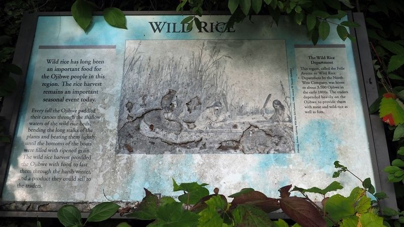
Photographed by McGhiever, September 2, 2022
1. Wild Rice Marker
Every fall the Ojibwe paddled their canoes through the shallow waters of the wild rice beds, bending the long stalks of the plants and beating them lightly until the bottoms of the boats were filled with ripened grain. The wild rice harvest provided the Ojibwe with food to last them through the harsh winter, and a product they could sell to the traders.
Erected by Minnesota Historical Society.
Topics. This historical marker is listed in these topic lists: Anthropology & Archaeology • Indigenous Peoples and Communities • Industry & Commerce.
Location. 45° 49.343′ N, 93° 0.679′ W. Marker is near Pine City, Minnesota, in Pine County. It can be reached from
this page online

Regionally, this marker is in Central Minnesota. It is also in the American Midwest and in the Corn Belt. Globally, it is in North America, the Great North Woods, the Western Hemisphere, the Western World, and the Anglosphere. Historically, it finds itself in what was once Rupert’s Land, the territory of the Mississippian Culture, and the Northwest Territory.
Other nearby markers. At least 8 other markers are within 14 miles of this marker, measured as the crow flies: Fur Trade Highways (within shouting distance of this marker); A Good Place for Beaver (about 300 feet away, measured in a direct line); Snake River Trail (about 300 feet away); Do-It-Yourself Building (about 400 feet away); Maple Trees (about 700 feet away); Historic LGBTQ Site (approx. 2 miles away); Pine City (approx. 2.1 miles away); The Great Hinckley Fire
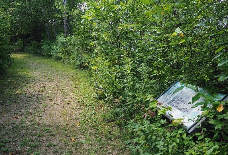
Photographed by McGhiever, September 2, 2022
2. Marker along the Snake River Trail at the Snake River Fur Post
"A Good Place for Beaver" marker visible in the distance.
Credits. This page was last revised on September 25, 2022. It was originally submitted on September 25, 2022, by McGhiever of Minneapolis, Minnesota. This page has been viewed 252 times since then and 20 times this year. Photos: 1, 2. submitted on September 25, 2022, by McGhiever of Minneapolis, Minnesota. • Devry Becker Jones was the editor who published this page.
