Charlestown in Clark County, Indiana — The American Midwest (Great Lakes)
Ohio River: the Human Story
Inscription.
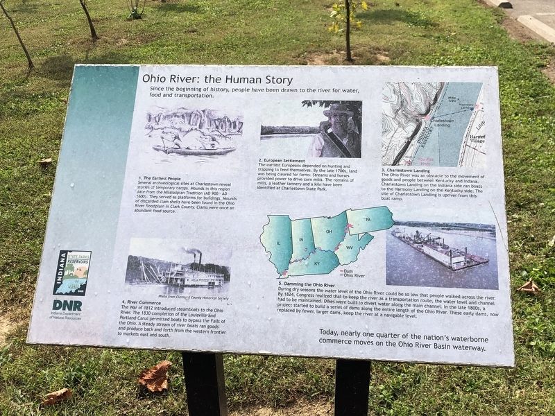
Since the beginning of history, people have been drawn to the river for water, food and transportation.
1. The Earliest People Several archaeological sites at Charlestown reveal stories of temporary camps. Mounds in this region date from the Mississippian Tradition (AD 900-AD 1600). They served as platforms for buildings. Mounds of discarded clam shells have been found in the Ohio River floodplain in Clark County. Clams were once an abundant food source.
2. European Settlement The earliest Europeans depended on hunting and trapping to feed themselves. By the late 1700s, land was being cleared for farms. Streams and horses provided power to drive corn mills. The remains of mills, a leather tannery and a kiln have been identified at Charlestown State Park.
3. Charlestown Landing The Ohio River was an obstacle to the movement of goods and people between Kentucky and Indiana. Charlestown Landing on the Indiana side ran boats to the Harmony Landing on the Kentucky side. The site of Charlestown Landing is upriver from this boat ramp.
4. River Commerce The War of 1812 introduced steamboats to the Ohio River. The 1830 completion of the Louisville and Portland Canal permitted boats to bypass the Falls of the Ohio. A steady stream of river boats ran goods and produce back and forth from the western frontier to markets east and south.
5. Damming the Ohio River During dry seasons the water level of the Ohio River could be so low that people walked across the river. By 1824, Congress realized that to keep the river as a transportation route, the water level and channel had to be maintained. Dikes were built to divert water along the main channel. In the late 1800s, a project started to build a series of dams along the entire length of the Ohio River. These early dams, now replaced by fewer, larger dams, keep the river at a navigable level.
Today, nearly one quarter of the nation's waterborne commerce moves on the Ohio River Basin waterway.
Erected by Indiana Department of Natural Resources.
Topics. This historical marker is listed in these topic lists: Industry & Commerce • Native Americans • Waterways & Vessels. A significant historical year for this entry is 900 CE.
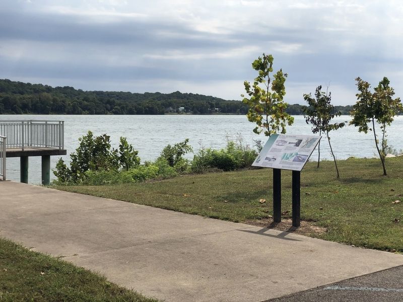
Location. 38° 23.856′ N, 85° 37.97′ W. Marker is in Charlestown, Indiana, in Clark County. Marker can be reached from Patrol Road, 0.7 miles north of Collector Wells Road, on the right when traveling north. Marker is by the Charlestown Landing boat ramp in Charlestown State Park. Touch for map. Marker is in this post office area: Charlestown IN 47111, United States of America. Touch for directions.
Other nearby markers. At least 8 other markers are within 4 miles of this marker, measured as the
crow flies. Rose Island (approx. 2.1 miles away); Indiana State Parks: The First 100 Years 1916-2016 (approx. 2.4 miles away); First Masonic Capital of Indiana (approx. 3˝ miles away); Mary Garrett Hay (approx. 3˝ miles away); Downs House (approx. 3˝ miles away); Fern Grove and Rose Island Resorts (approx. 3.6 miles away); Site of Green Tree Tavern (approx. 3.6 miles away); Grave of Jonathan Jennings (approx. 3.8 miles away). Touch for a list and map of all markers in Charlestown.
Credits. This page was last revised on September 28, 2022. It was originally submitted on September 28, 2022, by Duane and Tracy Marsteller of Murfreesboro, Tennessee. This page has been viewed 105 times since then and 15 times this year. Photos: 1, 2. submitted on September 28, 2022, by Duane and Tracy Marsteller of Murfreesboro, Tennessee.

