Jackson in Dakota County, Nebraska — The American Midwest (Upper Plains)
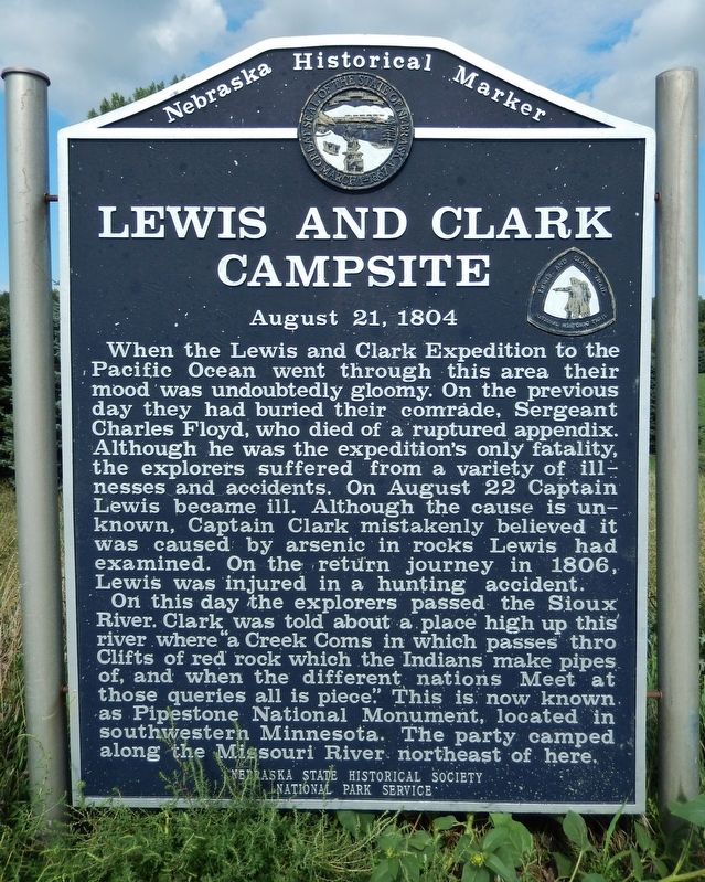
Lewis and Clark Campsite
August 21, 1804
| — | Lewis and Clark Trail | — |
Photographed by Cosmos Mariner, August 24, 2022
1. Lewis and Clark Campsite Marker
When the Lewis and Clark Expedition to the Pacific Ocean went through this area their mood was undoubtedly gloomy. On the previous day they had buried their comrade, Sergeant Charles Floyd, who died of a ruptured appendix. Although he was the expedition’s only fatality, the explorers suffered from a variety of illnesses and accidents. On August 22 Captain Lewis became ill. Although the cause is unknown, Captain Clark mistakenly believed it was caused by arsenic in rocks Lewis had examined. On the return journey in 1806, Lewis was injured in a hunting accident.
On this day the explorers passed the Sioux River. Clark was told about a place high up this river where “a Creek Coms in which passes thro Clifts of red rock which the Indians make pipes of, and when the different nations Meet at those queries all is piece.” This is now known as Pipestone National Monument, located in southwestern Minnesota. The party camped along the Missouri River northeast of here.
Erected by Nebraska State Historical Society; and National Park Service. (Marker Number 343.)
Topics and series. This historical marker is listed in these
this page online
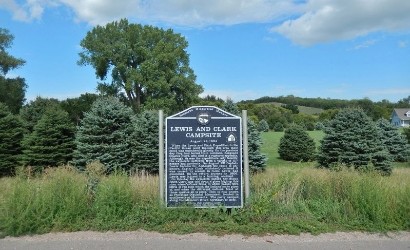
Location. 42° 27.139′ N, 96° 35.47′ W. Marker is in Jackson, Nebraska, in Dakota County. It is on U.S. 20 just west of Knox Boulevard, on the right when traveling west. Marker is located in a pull-out on the north side of the highway. Touch for map. Marker is in this post office area: Jackson NE 68743, United States of America. Touch for directions.

Regionally, this marker is in Eastern Nebraska. It is also in the American Midwest, in the Lewis & Clark Corridor, in the Corn Belt, and on the prairies. Globally, it is in North America, the Western Hemisphere, the Western World, and the Anglosphere. Historically, it finds itself in what was once the Louisiana Purchase.
Other nearby markers. At least 8 other markers are within 10 miles of this marker, measured as the crow flies: St. John's (approx. 1.4 miles away); You Are Entering South Dakota (approx. 7.6 miles away in South
Photographed by Cosmos Mariner, August 24, 2022
2. Lewis and Clark Campsite Marker
Also see . . . Journals of the Lewis & Clark Expedition (August 21, 1804).
The red stone is catlinite, named for the artist George Catlin, who brought it to the attention of mineralogists. It is found at the quarries along Pipestone Creek, Pipestone County, in southwestern Minnesota. The area is now a national monument and only Indians are allowed to extract the stone. Tradition holds that the quarries were neutral ground where all tribes met in peace.(Submitted on September 30, 2022, by Cosmos Mariner of Cape Canaveral, Florida.)
Credits. This page was last revised on September 30, 2022. It was originally submitted on September 30, 2022, by Cosmos Mariner of Cape Canaveral, Florida. This page has been viewed 533 times since then and 70 times this year. Photos: 1, 2. submitted on September 30, 2022, by Cosmos Mariner of Cape Canaveral, Florida.
