Temple in Bell County, Texas — The American South (West South Central)
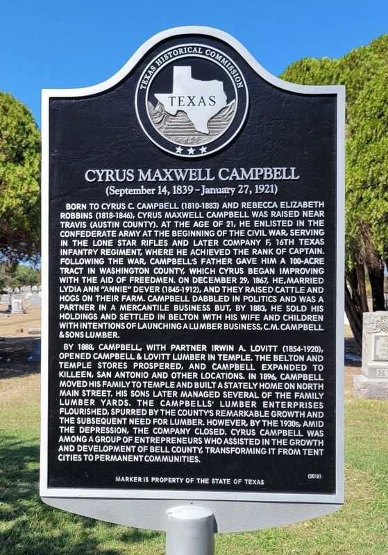
Cyrus Maxwell Campbell
(September 14, 1839-January 27, 1921)
By 1888, Campbell, with partner Irwin A. Lovitt (1854-1920), opened Campbell & Lovitt Lumber in Temple. The Belton and Temple stores prospered, and Campbell expanded to Killeen, San Antonio and other locations. In 1896, Campbell moved his family to Temple and built a stately home on North Main Street. His sons later managed several of the family lumber yards. The Campbells' lumber enterprises flourished, spurred by the county's remarkable growth and the subsequent need for lumber. However, by the 1930s, amid the depression, the company closed. Cyrus Campbell was among a group of entrepreneurs who assisted in the growth and development of Bell County, transforming it from tent cities to permanent communities.
Erected 2018 by Texas Historical Commission. (Marker Number 18936.)
Topics. This historical marker is listed in these topic lists: Cemeteries & Burial Sites • Industry & Commerce • War, US Civil. A significant historical date for this entry is December 29, 1867.
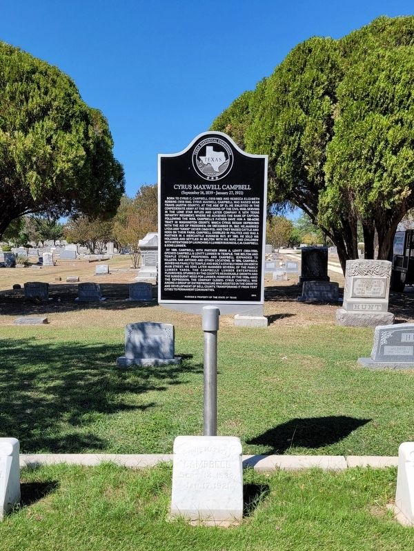
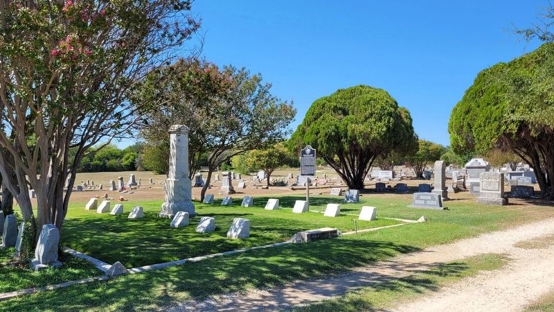
Location. 31° 6.737′ N, 97° 19.851′ W. Marker is in Temple, Texas, in Bell County. Marker can be reached from the intersection of North Front Street and East Shell Avenue. The marker is located in the central section of the Hillcrest Cemetery. Touch for map. Marker is at or near this postal address: 1873 North Front Street, Temple TX 76501, United States of America. Touch for directions.
Other nearby markers. At least 8 other markers are within walking distance of this marker. Raleigh Richardson White, Sr. (within shouting distance of this marker); Raleigh R. White, Jr., M.D. (about 300 feet away, measured in a direct line); Yee Pat Ling (about 500 feet away); George Valter Brindley, Sr., M.D. (about 700 feet away); Nora Lee Mayhew Wendland (approx. 0.2 miles away); Seven Star Cemetery (approx. 0.2 miles away); Arthur Carroll Scott, Sr., M.D. (approx. ¼ mile away); Claudia Potter, M.D. (approx. ¼ mile away). Touch for a list and map of all markers in Temple.
Also see . . .
1. Lumber Industry. Texas State Historical Association
The next fifty years, from about 1880 to the Great Depression, has been called the "bonanza era" in Texas lumbering. The railroad network developed rapidly and provided transportation to every section of East Texas. Entrepreneurs followed closely behind, establishing complete lumber-manufacturing plants and often tram roads to carry the logs to the mills and transport the finished lumber to mainline railroads. To provide for the employees, often numbering several hundred, the owners also built company towns such as Camden, Fostoria, Kirbyville, and Diboll.(Submitted on October 3, 2022, by James Hulse of Medina, Texas.)
2. Bell County. Texas State Historical Association
Bell County, in east central Texas, is located along the Balcones Escarpment approximately forty-five miles north of the Capitol in Austin and is bordered by Coryell, McLennan, and Falls counties on the north, on the east by Falls and Milam counties, on the south by Milam and Williamson counties, and on the west by Lampasas and Burnet counties. Belton, the third largest town in the county, serves as the county seat and is sixty-five miles north of Austin. The county's center lies at approximately 31°02' north latitude and 97°30' east longitude. Interstate Highway 35 and State highways 195, 95, and 317 are the major north-south roads in the county; U.S. Highway 190 and State Highway 36 cross the county east and west. Bell County is also served by the Burlington Northern Santa Fe and the Union Pacific railroads.(Submitted on October 3, 2022, by James Hulse of Medina, Texas.)
Credits. This page was last revised on October 3, 2022. It was originally submitted on October 2, 2022, by James Hulse of Medina, Texas. This page has been viewed 176 times since then and 67 times this year. Photos: 1, 2, 3. submitted on October 3, 2022, by James Hulse of Medina, Texas.


