
Ottawa , Ontario — Central Canada (North America)
Room With A View

Photographed by Robert Rusaw, September 27, 2022
1. Roome With A View Marker
COLONEL BY lived with his wife and two daughters in an ornate. cottage-syle home Visitors to the house were charmed by the residence with its English gardens and surrounding pastures. A British officer, Captain Alexander, described the house as being "tastefully ornamented with rustic verandahs and trellis work..."
FOLLOWING Colonel By's return to England in 1832, the house remained a military residence and was subsequently occupied by British officers Bolton and Ford. In 1848, an unexplained fire destroyed all but the chimneys and foundation of the original two-storey home.
Topics. This historical marker is listed in these topic lists: Architecture • Disasters • Industry & Commerce
this page online
Location. 45° 25.665′ N, 75° 41.878′ W. Marker is in Ottawa, Ontario. It is on Alexandra Bridge. This marker is located in Major's Hill Park. Touch for map. Marker is in this post office area: Ottawa ON K1A K1A, Canada. Touch for directions.

Regionally, this marker is in Eastern Ontario. It is also in Central Canada. Globally, it is in North America, the Western Hemisphere, the Western World, and the Anglosphere. Historically, it finds itself in what was once a British colony, the Viceroyalty of New France, the Haudenosaunee (Iroquois) Confederacy, and Rupert’s Land.
Other nearby markers. At least 8 other markers are within walking distance of this marker: Canal Stones / Les Pierres Du Canal (within shouting distance of this marker); Jean E. Pigott (about 90 meters away, measured in a direct line); The Three Watchmen / Les trois sentinelles (about 120 meters away); Transportation on Confederation Boulevard / Transports en commun sur le boul. de la Confédération (about 120 meters away); Ordnance and Engineers Building (about 180 meters away);

Photographed by Robert Rusaw, September 27, 2022
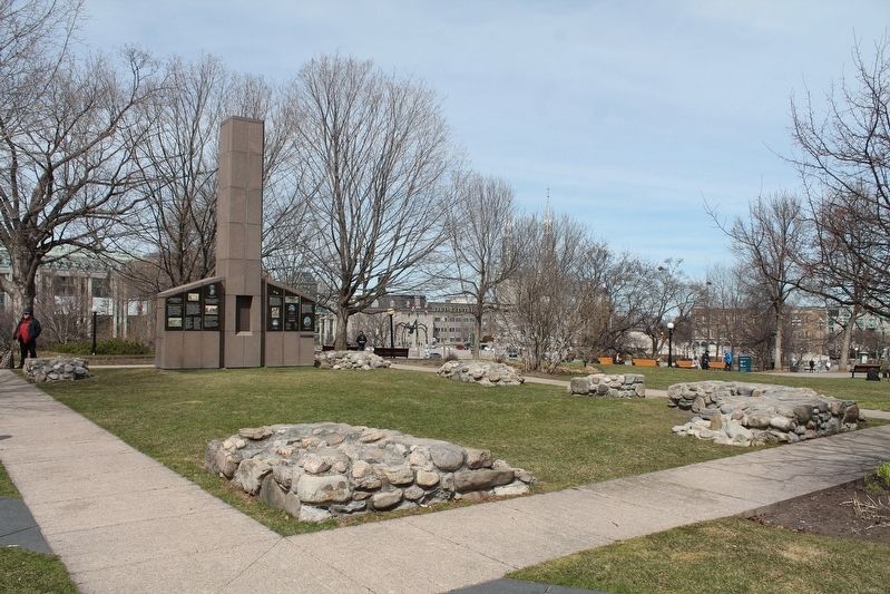
2. Room With A View Marker

Photographed by Robert Rusaw, April 18, 2022
3. Room With A View Marker
Photographed by Robert Rusaw, April 18, 2022
4. Room With A View Marker
Credits. This page was last revised on October 11, 2022. It was originally submitted on October 3, 2022, by Robert Rusaw of Massena, New York. This page has been viewed 207 times since then and 18 times this year. Photos: 1, 2, 3, 4. submitted on October 3, 2022, by Robert Rusaw of Massena, New York. • Bill Pfingsten was the editor who published this page.
