Sheepshead Bay in Brooklyn in Kings County, New York — The American Northeast (Mid-Atlantic)
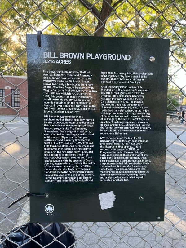
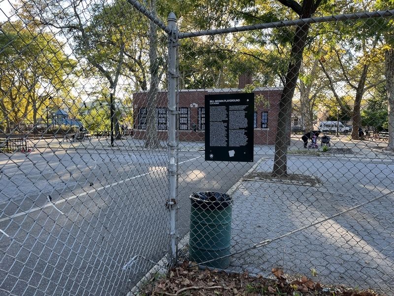
Bill Brown Playground
3.214 Acres
This playground, bounded by Bedford Avenue, East 24th Street and Avenues X and Y, serves as a lasting memorial to World War I veteran William A. Brown. Brown lived only a few blocks from here at 1818 Voorhies Avenue. He served with Wagon Company G of the 108th Ammunition Train, 28th Army Division. On October 8, 1918, this young man made the ultimate sacrifice for his country when he died of wounds sustained on the battlefield in France. Brown is also the namesake of the Bill Brown Senior Citizens Club and the Bill Brown American Legion Post.
Bill Brown Playground lies in the neighborhood of Sheepshead Bay, named for the once popular Atlantic Sheepshead fish, a member of the stout-spined, large-headed porgy family. The Canarsee, Sheepshead Bay's original inhabitants continued to live here largely undisturbed until almost 150 years after European settlers arrived in nearby Gravesend in 1643. In the 18th century, the Wyckoff and Lott families established homesteads and built in the area. Fishing became popular in the bay in the early 1880s, and little cottages soon dotted the rim of the inlet. Cool coastal breezes and fresh seafood, along with the opening of Ocean Avenue, began to lure tourists in the middle of the nineteenth century. In the 1870s, the subdivision of a large farm began a trend that led to the construction of more than 400 houses by the end of the century. Before his imprisonment in Sing Sing for election fraud in the 1890s, local political boss John McKane guided the development of Sheepshead Bay by encouraging the construction of New York rail lines to connect it to the rest of Brooklyn.
After the Coney Island Jockey Club, founded in 1880, opened the Sheepshead Bay Race Track, gamblers flocked to the area. The Sheepshead Speedway replaced the track when the Jockey Club disbanded in 1915. The famous automobile track was demolished in 1919 and replaced with housing. The city revitalized the neighborhood in the 1930s, with improvements including the widening of Emmons Avenue and the modernization of buildings by the bay. In the 1950s, brick apartment buildings replaced the wooden houses, and by 1960, Sheepshead Bay was the fastest growing community in Brooklyn. Today, it is still a popular destination for recreational fishermen.
NYC Parks acquired the land for Bill Brown Playground through condemnation procedures from 1931 to 1932, when the playground first opened. A 1986 reconstruction project of Bill Brown Playground included the refurbishing of old play equipment, the installation of new equipment, bocce courts, benches, trees, picnic tables and a drinking fountain. In 2010, the playground's ballfield received synthetic turf, a surface that provides for safer
Erected by NYC Parks.
Topics and series. This historical marker is listed in these topic lists: Animals • Government & Politics • Law Enforcement • Parks & Recreational Areas • Settlements & Settlers • Sports • War, World I • Waterways & Vessels. In addition, it is included in the NYC Parks series list. A significant historical date for this entry is October 8, 1918.
Location. 40° 35.51′ N, 73° 56.719′ W. Marker is in Brooklyn, New York, in Kings County. It is in Sheepshead Bay. Marker is on Bedford Avenue, 0.1 miles north of Avenue Y, on the left when traveling north. Touch for map. Marker is at or near this postal address: 4506 Bedford Ave, Brooklyn NY 11235, United States of America. Touch for directions.
Other nearby markers. At least 8 other markers are within 2 miles of this marker, measured as the crow flies. Sheepshead Bay Veterans Memorial (approx. ¼ mile away); F. D. N. Y. (approx. ¼ mile away); Wyckoff-Bennett Homestead (approx. 1.4 miles away); Wyckoff Bennett Mont House (approx. 1.4 miles away); Greek American Veterans (approx. 1.4 miles away); Lt. Kenneth E Aimee (approx. 1½ miles away); Hendrick I. Lott House (approx. 1½ miles away); a different marker also named Hendrick I. Lott House (approx. 1½ miles away). Touch for a list and map of all markers in Brooklyn.
Additional keywords. organized crime; political machines
Credits. This page was last revised on January 31, 2023. It was originally submitted on October 10, 2022, by Devry Becker Jones of Washington, District of Columbia. This page has been viewed 144 times since then and 32 times this year. Photos: 1, 2. submitted on October 10, 2022, by Devry Becker Jones of Washington, District of Columbia.

