Kingston, Ontario — Central Canada (North America)
The Coach House
⎯⎯⎯
La Remise

Photographed by Robert Rusaw, August 29, 2022
1. The Coach House Marker

Le gouvernement fédéral acheta la propriété où était située la remise pour y construire un centre d'accueil en 1983. Bien que le nouveau bâtiment ne soit pas une reproduction de la remise d'autrefois, il en respecte avec précision les proportions
this page online
Topics. This historical marker is listed in these topic lists: Architecture • Parks & Recreational Areas.
Location. 44° 13.391′ N, 76° 30.247′ W. Marker is in Kingston, Ontario. It can be reached from Centre St, on the right when traveling north. This marker is located on the grounds of the Bellevue House. Touch for map. Marker is in this post office area: Kingston ON K7L 4E6, Canada. Touch for directions.

Regionally, this marker is in Eastern Ontario and specifically in Southeastern Ontario. It is also in Central Canada. Globally, it is in North America, on the Great Lakes, in the Western Hemisphere, in the Western World, and in the Anglosphere. Historically, it finds itself in what was once a British colony, the Viceroyalty of New France, the Haudenosaunee (Iroquois) Confederacy, and Rupert’s Land.
Other nearby markers. At least 8 other markers are within walking distance of this marker: Bellevue House / Villa Bellevue (within shouting distance of this marker); Donald Gordon Centre / Le Centre Donald Gordon (approx. half a kilometer away);
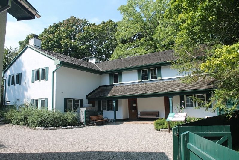
Photographed by Robert Rusaw, August 29, 2022
2. The Coach House Marker
More about this marker. Kingston is independent from the surrounding Frontenac County.
Credits. This page was last revised on March 27, 2024. It was originally submitted on October 11, 2022, by Robert Rusaw of Massena, New York. This page has been viewed 293 times since then and 39 times this year. Photos: 1, 2. submitted on October 11, 2022, by Robert Rusaw of Massena, New York. • Bill Pfingsten was the editor who published this page.
