Stillwater in Washington County, Minnesota — The American Midwest (Upper Plains)
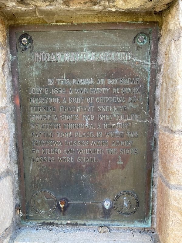
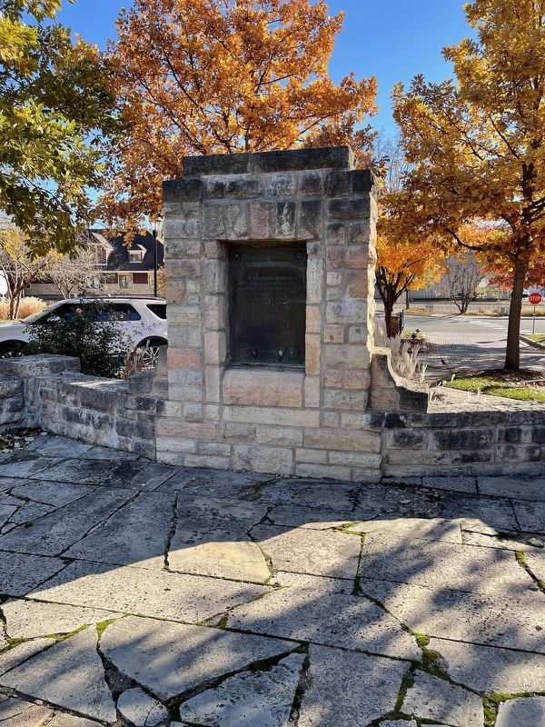
Indian Battleground
Erected 1939 by the Minnesota Department of Highways and the Minnesota Historical Society.
Topics. This historical marker is listed in these topic lists: Native Americans • Wars, Non-US. A significant historical date for this entry is July 3, 1839.
Location. 45° 3.738′ N, 92° 48.443′ W. Marker is in Stillwater, Minnesota, in Washington County. Marker can be reached from St. Crois Trail North (State Highway 95) 0.1 miles north of Laurel Street East, on the left when traveling north. Touch for map. Marker is at or near this postal address: 610 Main St N, Stillwater MN 55082, United States of America. Touch for directions.
Other nearby markers. At least 8 other markers are within walking distance of this marker. The Warden's House (about 300 feet away, measured in a direct line); See You on the Trail / From Small Springs (about 400 feet away); St. Croix Lumber Mills / Stillwater Manufacturing Company (approx. 0.2 miles away); 114 North Main Street (approx. 0.4 miles away); Connolly Shoe Company Building (approx. 0.4 miles away); 1965 Easter Sunday Floodwater Crest (approx. 0.4 miles away); 1884 Upper St. Croix River Log Jam (approx. 0.4 miles away); 226 East Myrtle Street (approx. 0.4 miles away). Touch for a list and map of all markers in Stillwater.
Credits. This page was last revised on October 13, 2022. It was originally submitted on October 13, 2022, by Liz Koele of St. Paul, Minnesota. This page has been viewed 222 times since then and 39 times this year. Photos: 1, 2. submitted on October 13, 2022, by Liz Koele of St. Paul, Minnesota. • Devry Becker Jones was the editor who published this page.

