Adkins in Wilson County, Texas — The American South (West South Central)
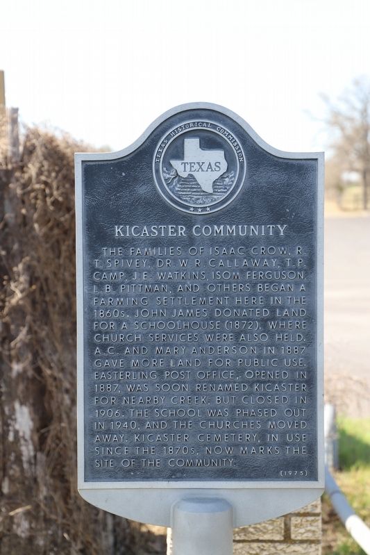
Kicaster Community
The families of Isaac Crow, R. T. Spivey, Dr. W. R. Callaway, T. P. Camp, J. E. Watkins, Isom Ferguson, L. B. Pittman, and others began a farming settlement here in the 1860s. John James donated land for a schoolhouse (1872), where church services were also held. A. C. and Mary Anderson in 1887 gave more land for public use. Easterling post office, opened in 1887, was soon renamed Kicaster for nearby creek, but closed in 1906. The school was phased out in 1940, and the churches moved away. Kicaster Cemetery, in use since the 1870s, now marks the site of the community.
Erected 1975 by Texas Historical Commission. (Marker Number 2937.)
Topics. This historical marker is listed in these topic lists: Agriculture • Cemeteries & Burial Sites.
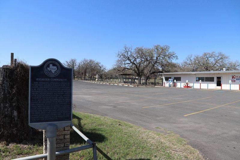
Location. 29° 18.639′ N, 98° 12.433′ W. Marker is in Adkins, Texas, in Wilson County. Marker is on County Road 324. Touch for map. Marker is at or near this postal address: 64 County Rd 324, Adkins TX 78101, United States of America. Touch for directions.
Other nearby markers. At least 8 other markers are within 7 miles of this marker, measured as the crow flies. Beall Cemetery (approx. 5.1 miles away); Immanuel Lutheran Cemetery (approx. 5.2 miles away); Applewhite Homestead (approx. 5.9 miles away); Cover Cemetery (approx. 5.9 miles away); La Vernia United Methodist Church (approx. 6 miles away); a different marker also named La Vernia United Methodist Church (approx. 6 miles away); Brahan Lodge No. 226, A.F. & A.M. (approx. 6.1 miles away); Deaf Smith Oak Tree - the Next Generation (approx. 6.3 miles away).
Credits. This page was last revised on October 20, 2022. It was originally submitted on October 16, 2022, by Dave W of Co, Colorado. This page has been viewed 124 times since then and 44 times this year. Photos: 1, 2. submitted on October 16, 2022, by Dave W of Co, Colorado. • J. Makali Bruton was the editor who published this page.

