Near Reynolds in Taylor County, Georgia — The American South (South Atlantic)
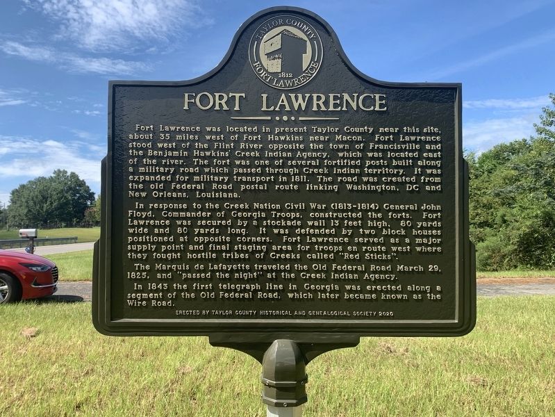
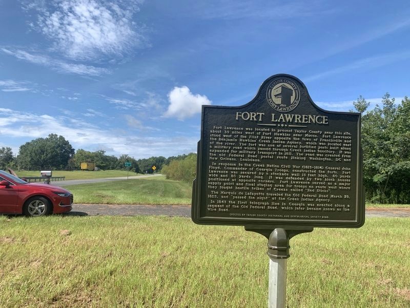
Fort Lawrence
In response to the Creek Nation Civil War (1813-1814) General John Floyd, Commander of Georgia Troops, constructed the forts. Fort Lawrence was secured by a stockade wall 13 feet high, 80 yards wide and 80 yards long. It was defended by two block houses positioned at opposite corners. Fort Lawrence served as a major supply point and final staging area for troops en route west where they fought hostile tribes of Creeks called "Red Sticks".
The Marquis de Lafayette traveled the Old Federal Road March 29, 1825, and "passed the night" at the Creek Indian Agency.
In 1843 the first telegraph line in Georgia was erected along a segment of the Old Federal Road, which later became known as the Wire Road.
Erected 2020 by Taylor County Historical and Genealogical Society.
Topics. This historical marker is listed in these topic lists: Native Americans • Roads & Vehicles • Wars, US Indian. A significant historical year for this entry is 1811.
Location. 32° 40.031′ N, 84° 6.076′ W. Marker is near Reynolds, Georgia, in Taylor County. Marker is on Macon Road (Georgia Route 128) 0.2 miles north of Georgia Route 137, on the right when traveling south. Touch for map. Marker is in this post office area: Reynolds GA 31076, United States of America. Touch for directions.
Other nearby markers. At least 8 other markers are within 8 miles of this marker, measured as the crow flies. Creek Agency (approx. ¾ mile away); Taylor County Rural Electric Cooperative (approx. 2.7 miles away); The Wire Road (approx. 4.3 miles away); William Bartram Trail (approx. 4½ miles away); Clarence Moseley “Ribs” Peel (approx. 6.4 miles away); Colonel Benjamin Hawkins (approx. 6.4 miles away); a different marker also named William Bartram Trail (approx. 6½ miles away); a different marker also named William Bartram Trail (approx. 7.2 miles away).
Also see . . . Forts Along the Federal Road. (Submitted on October 16, 2022, by Tim Fillmon of Webster, Florida.)
Credits. This page was last revised on October 16, 2022. It was originally submitted on October 16, 2022, by Tim Fillmon of Webster, Florida. This page has been viewed 437 times since then and 129 times this year. Photos: 1, 2. submitted on October 16, 2022, by Tim Fillmon of Webster, Florida.

