Sea Bright in Monmouth County, New Jersey — The American Northeast (Mid-Atlantic)
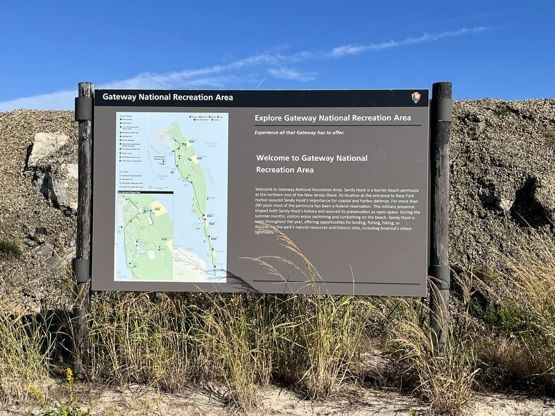
Welcome to Gateway National Recreation Area
Explore Gateway National Recreation Area
— Experience all that Gateway has to offer. —

Photographed By Devry Becker Jones (CC0), October 15, 2022
1. Welcome to Gateway National Recreation Area Marker
Erected by National Park Service, U.S. Department of the Interior.
Topics and series. This historical marker is listed in these topic lists: Colonial Era • Forts and Castles • Parks & Recreational Areas • Waterways & Vessels. In addition, it is included in the Lighthouses series list. A significant historical year for this entry is 1764.
Location. 40° 23.925′ N, 73° 58.581′ W. Marker is in Sea Bright, New Jersey, in Monmouth County. Marker is on Ocean Avenue North north of New Jersey Route 36, on the right when traveling north. Touch for map. Marker is at or near this postal address: 10 Ocean Ave N, Rumson NJ 07760, United States of America. Touch for directions.
Other nearby markers. At least 8 other markers are within walking distance of this marker. Highlands Doughboy World War I Monument (approx. 0.4 miles away); From the Navesink Highlands (approx. half a mile away); Telegraph and Radar at Twin Lights (approx. half a mile away); Twin Lights Mystery Cannon (approx. half a mile away); Electric Power Station (approx. half a mile away); Powerhouse (approx. half a mile away); The Old North Tower (approx. half a mile away); The Navesink Light Station (approx. half a mile away).

Photographed By Devry Becker Jones (CC0), October 15, 2022
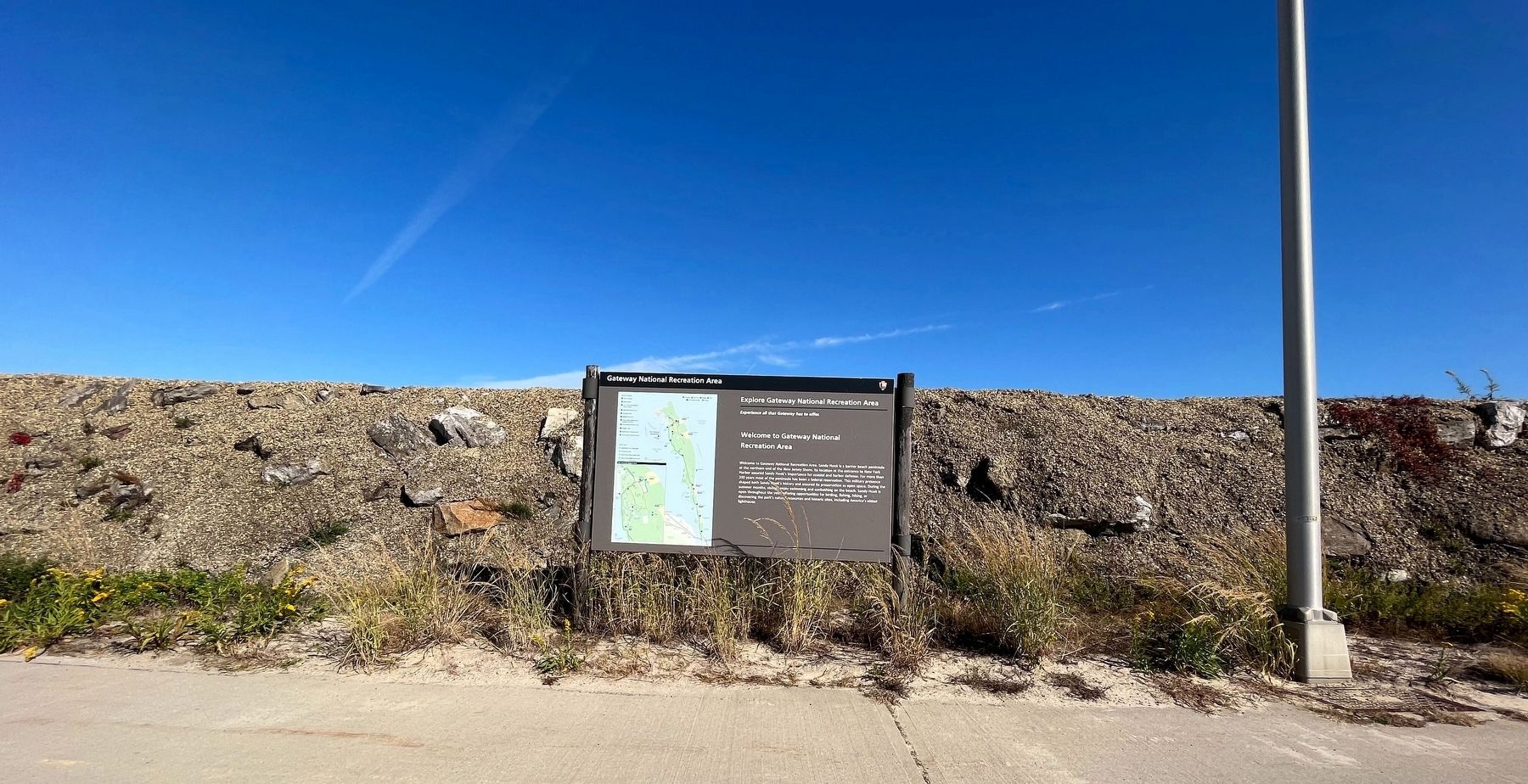
2. Welcome to Gateway National Recreation Area Marker
Credits. This page was last revised on October 18, 2022. It was originally submitted on October 18, 2022, by Devry Becker Jones of Washington, District of Columbia. This page has been viewed 82 times since then and 26 times this year. Photos: 1, 2. submitted on October 18, 2022, by Devry Becker Jones of Washington, District of Columbia.