Flandreau in Moody County, South Dakota — The American Midwest (Upper Plains)
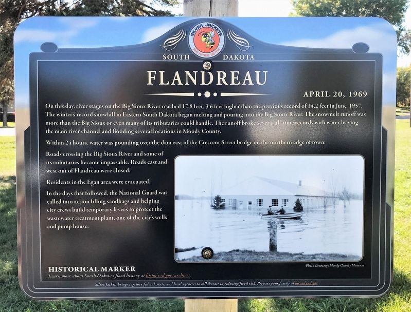
Flandreau
April 20, 1969
Within 24 hours, water was pounding over the dam east of the Crescent Street bridge on the northern edge of town.
Roads crossing the Big Sioux River and some of its tributaries became impassable. Roads east and west out of Flandreau were closed.
Residents in the Egan area were evacuated.
In the days that followed, the National Guard was called into action filling sandbags and helping city crews build temporary levees to protect the wastewater treatment plant, one of the city's wells and pump house.
Historical Marker
Learn more about South Dakota's flood history at history.sd.gov/archives.
Erected by Silver Jackets.
Topics. This historical marker is listed in these topic lists: Disasters • Environment • Waterways & Vessels. A significant historical date for this entry is April 20, 1969.
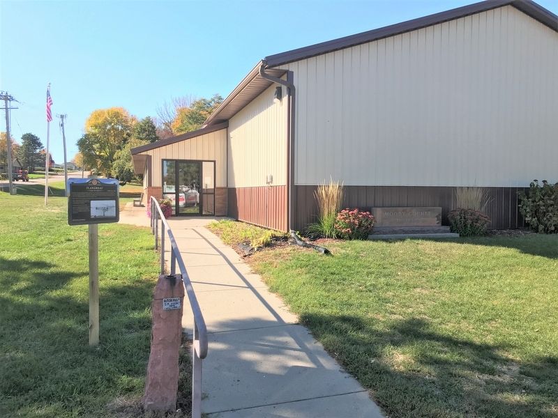
Location. 44° 2.919′ N, 96° 34.928′ W. Marker is in Flandreau, South Dakota, in Moody County. Marker is on Water Street north of East Pipestone Avenue, on the left when traveling north. Located at the Moody County Museum in Flandreau. Touch for map. Marker is at or near this postal address: 706 E Pipestone Ave, Flandreau SD 57028, United States of America. Touch for directions.
Other nearby markers. At least 8 other markers are within 2 miles of this marker, measured as the crow flies. Jones School District #60 (within shouting distance of this marker); Chicago, Milwaukee & St. Paul Depot (within shouting distance of this marker); Riverbend Meeting House (within shouting distance of this marker); Waxdahl Claim Shack (within shouting distance of this marker); Moody County Veterans Memorial (approx. 0.6 miles away); In Memory of Mrs. Joseph Thatcher (approx. 0.8 miles away); Flandreau Indian High School (approx. 1.1 miles away); Governor Bill Janklow (approx. 1.2 miles away). Touch for a list and map of all markers in Flandreau.
Credits. This page was last revised on October 20, 2022. It was originally submitted on October 20, 2022. This page has been viewed 96 times since then and 18 times this year. Photos: 1, 2. submitted on October 20, 2022.

