Franklin in Williamson County, Tennessee — The American South (East South Central)
Fort Granger
From Slaves to Free People
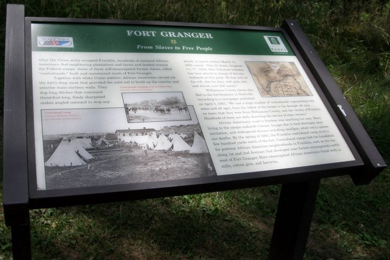
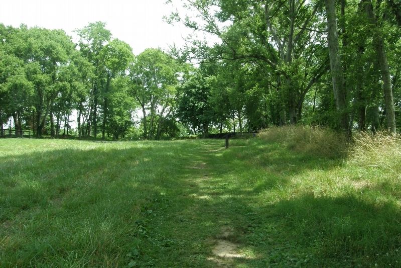
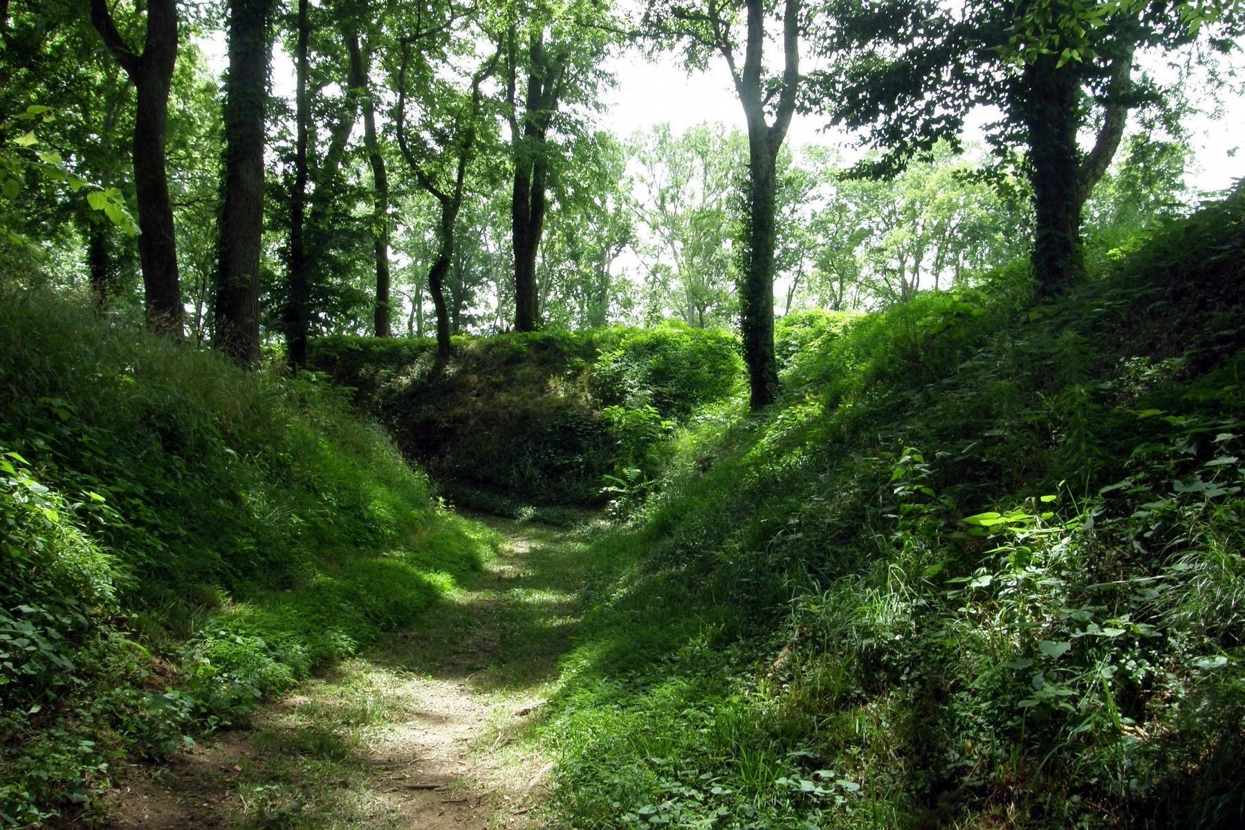
Together with white Union soldiers, African Americans carved out the fort’s deep moat that provided the solid soil to build up the interior and exterior earthen walls. They dug long ditches that contained three-foot-long, finely sharpened stakes angled outward to stop any attack. A report written on March 11, 1863, noted, “Silas N. Jones, Sergeant Co. “C” 125th Ohio Volunteer Infantry has been placed in charge of the contrabands at this point. He has now on his roll, able for duty, with pick, axe, and shovel, over 250 names.”
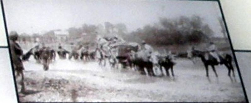
Williamson County slaves also fled to the fortifications in Nashville. According to a newspaper published on April 3, 1863, “We met a large number of 'contrabands' representing both sexes and all ages, from the infant at the breast to the decrepit old man … we learn that they were from Williamson County, and the vicinity of Franklin. Hundreds of them are daily deserting the service of their owners.”
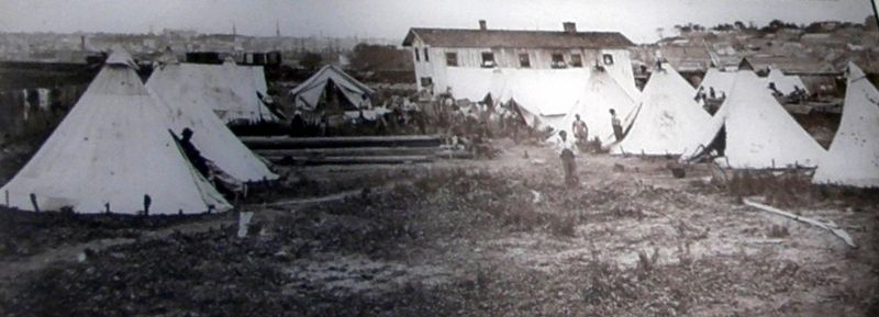
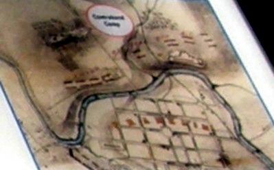
African Americans’ road to freedom was anything but easy. Many living in camps endured violence, hunger due to food shortages, poor sanitation, and widespread disease including smallpox, which led to numerous deaths. By the spring of 1863, the Franklin contraband camp stood a few hundred yards north of the fort. Contraband camps laid the foundation for postwar African American neighborhoods in Franklin, such as the one along 1st and 2nd Avenues that developed near the former encampments northwest of Fort Granger. Here emancipated African Americans found work in mills, cotton gins, and factories.
Erected by Historic Franklin Parks.
Topics. This historical marker is listed in these topic lists: African Americans • Forts and Castles • War, US Civil. A significant historical date for this entry is April 11, 1863.
Location. 35° 55.533′ N, 86° 51.631′ W. Marker is in Franklin, Tennessee, in Williamson County. Marker can be reached from Eddy Lane south of Fort Granger Drive, on the right when traveling south. Touch for map. Marker is at or near this postal address: Fort Granger Park, Franklin TN 37064, United States of America. Touch for directions.
Other nearby markers. At least 8 other markers are within walking distance of this marker. A different marker also named Fort Granger (within shouting distance of this marker); a different marker also named Fort Granger (within shouting distance of this marker); a different marker also named Fort Granger (within shouting distance of this marker); a different marker also named Fort Granger
(about 300 feet away, measured in a direct line); a different marker also named Fort Granger (about 300 feet away); a different marker also named Fort Granger (about 300 feet away); The Rainey House (approx. ¼ mile away); General Granger and Emancipation (approx. ¼ mile away). Touch for a list and map of all markers in Franklin.
Credits. This page was last revised on October 23, 2022. It was originally submitted on November 14, 2019, by Larry Gertner of New York, New York. This page has been viewed 226 times since then and 12 times this year. Last updated on October 22, 2022, by Bradley Owen of Morgantown, West Virginia. Photos: 1, 2, 3, 4, 5, 6. submitted on November 14, 2019, by Larry Gertner of New York, New York. • Mark Hilton was the editor who published this page.
