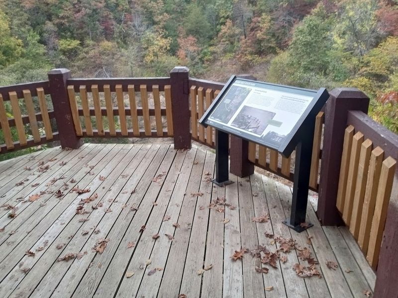
Near Koshkonong in Oregon County, Missouri — The American Midwest (Upper Plains)
Grand Gulf Sink
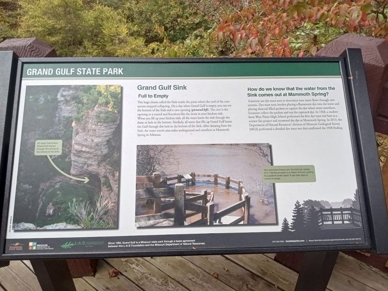
Grand Gulf State Park
Full to Empty
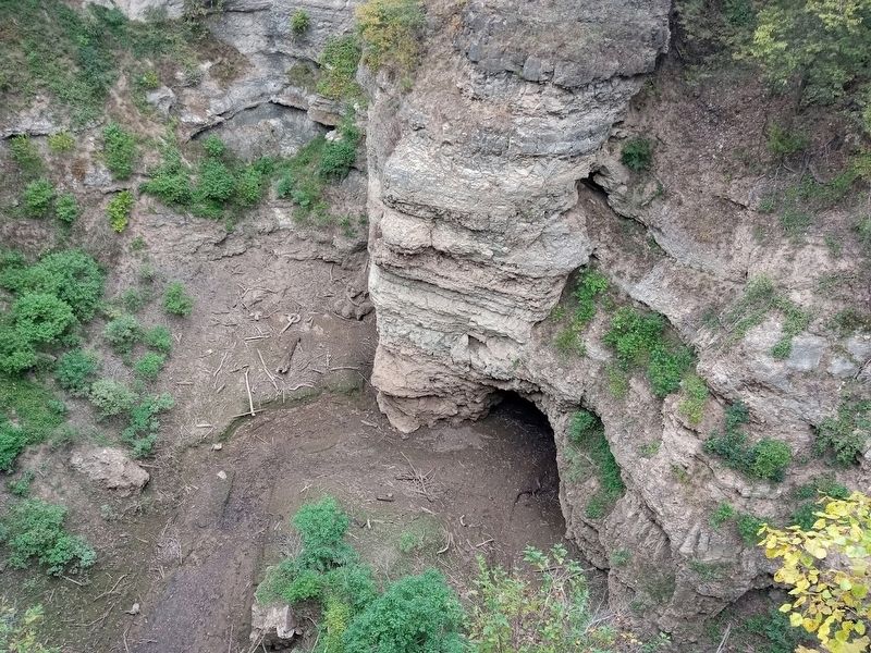
This large chasm called the Sink marks the point where the roof of the cave system stopped collapsing. On a day when Grand Gulf is empty, you can see the bottom of the Sink and a cave opening. The cave is the opening to a tunnel and functions like the drain in your kitchen sink. When you fill up your kitchen sink, all the water leaves the sink through the drain or hole in the bottom. Similarly, all water that fills up Grand Gulf leaves the Gulf through this hole in the bottom of the Sink. After draining from the Sink, the water travels nine miles underground and resurfaces at Mammoth Spring in Arkansas.
How do we know that the water from the Sink comes out at Mammoth Spring?
Scientists use dye trace tests to determine how water flows through cave systems. Dye trace tests involve placing a fluorescent dye into the water and placing charcoal filled packets and test for captured dye. In 1968, a student from West Plains High School performed the first dye trace test here as a science fair project and recovered the dye at Mammoth Spring. In 2013, the Department of Natural Resources' division of Missouri Geological Survey (MGS) performed a detailed dye trace test that confirmed the 1968 finding.
Erected by Missouri State Parks, Missouri Department of Natural Resources and L-A-D Foundation.
Topics. This historical marker is listed in these topic lists: Natural Features • Parks & Recreational Areas • Science & Medicine. A significant historical year for this entry is 1968.
Location. 36° 32.669′ N, 91° 38.683′ W. Marker is near Koshkonong, Missouri, in Oregon County. Marker can be reached from the intersection of County Highway 378 and State Highway W. Marker is located at Grand Gulf State Park. Touch for map. Marker is at or near this postal address: Co Rd 378, Koshkonong MO 65692, United States of America. Touch for directions.
Other nearby markers. At least 8 other markers are within 7 miles of this marker, measured as the crow flies. Grand Gulf (within shouting distance of this marker); Community Auditorium (approx. 6˝ miles away in Arkansas); George D. Hay (approx. 6.8 miles away in Arkansas); Civil War in Fulton County / Action at Salem (approx. 6.9 miles away in Arkansas); Old Soldier's Reunion (approx. 6.9 miles away in Arkansas); The Big Gun (approx. 6.9 miles away in Arkansas); Mammoth Spring (approx. 7 miles away in Arkansas); The Development of Mammoth Spring (approx. 7 miles away in Arkansas).
Also see . . .
1. Grand Gulf State Park (Missouri State Parks). General information about the 322-acre park (Submitted on October 22, 2022, by Jason Voigt of Glen Carbon, Illinois.)
2. Grand Gulf State Park on Wikipedia. Grand Gulf became a state park in 1984. In 1971, it was declared a National Natural Landmark as an excellent example of karst topography and underground stream piracy. (Submitted on October 22, 2022, by Jason Voigt of Glen Carbon, Illinois.)
Credits. This page was last revised on October 22, 2022. It was originally submitted on October 22, 2022, by Jason Voigt of Glen Carbon, Illinois. This page has been viewed 136 times since then and 37 times this year. Photos: 1, 2, 3. submitted on October 22, 2022, by Jason Voigt of Glen Carbon, Illinois.


