Near Polo in Ogle County, Illinois — The American Midwest (Great Lakes)
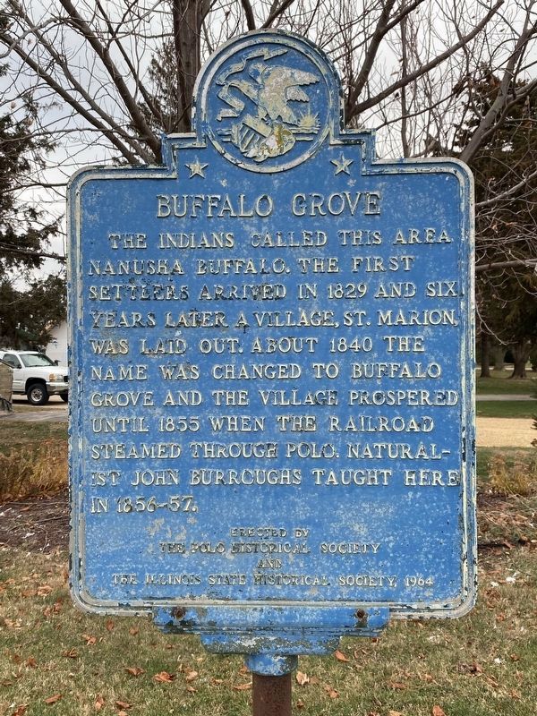
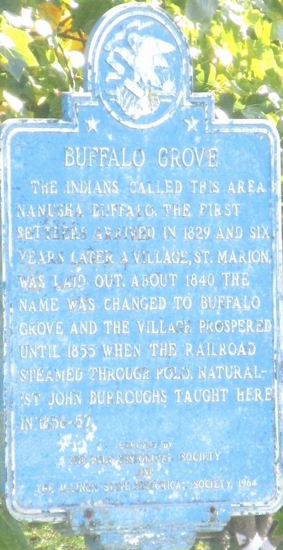
Buffalo Grove
Erected 1964 by The Polo Historical Society And Illinois State Historical Society.
Topics and series. This historical marker is listed in these topic lists: Education • Native Americans • Roads & Vehicles • Science & Medicine • Settlements & Settlers. In addition, it is included in the Illinois State Historical Society series list. A significant historical year for this entry is 1829.
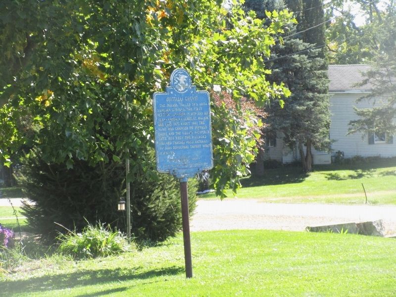
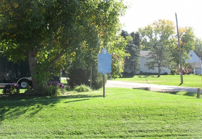
Location. 41° 58.851′ N, 89° 35.693′ W. Marker is near Polo, Illinois, in Ogle County. Marker is at the intersection of South Galena Trail Road and West Milledge Road (County Road 7), on the left when traveling south on South Galena Trail Road. Touch for map. Marker is at or near this postal address: 2581 S Galena Trail Rd, Polo IL 61064, United States of America. Touch for directions.
Other nearby markers. At least 8 other markers are within 3 miles of this marker, measured as the crow flies. First Cabin in Ogle County (approx. 0.4 miles away); Buffalo Grove Lime Kiln 1870-1915 (approx. 0.6 miles away); William Durley Killed Here (approx. 0.8 miles away); William Durley Killed By Indians (approx. 0.8 miles away); Indian Ambush (approx. 0.8 miles away); Lincoln in Polo (approx. one mile away); The Galena Road (approx. 1.7 miles away); The Boles Trail (approx. 2.7 miles away). Touch for a list and map of all markers in Polo.
Credits. This page was last revised on December 1, 2022. It was originally submitted on October 24, 2022, by Rev. Ronald Irick of West Liberty, Ohio. This page has been viewed 175 times since then and 27 times this year. Photos: 1. submitted on November 3, 2022, by Darren Jefferson Clay of Duluth, Georgia. 2, 3, 4, 5. submitted on October 24, 2022, by Rev. Ronald Irick of West Liberty, Ohio. • Devry Becker Jones was the editor who published this page.
