
Franklin in Williamson County, Tennessee — The American South (East South Central)
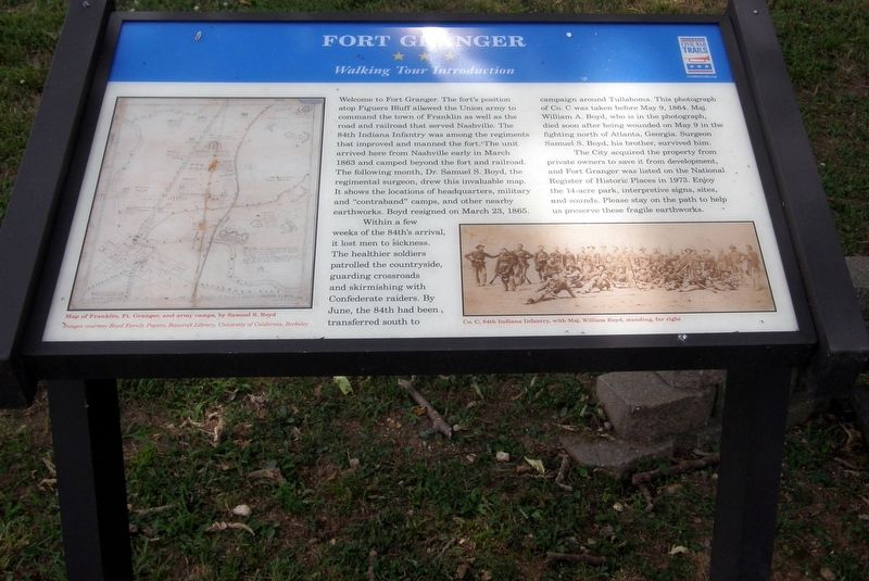
Fort Granger
Walking Tour Introduction
Photographed by Larry Gertner, June 17, 2019
1. Fort Granger Marker
Within a few weeks of the 84th’s arrival, it lost men to sickness. The healthier soldiers patrolled the countryside, guarding crossroads and skirmishing with Confederate raiders. By June, the 84th had been transferred south to campaign around Tullahoma. The photograph of Co. C was taken before May 9, 1864. Maj. William A. Boyd, who is in the photograph, died soon after being wounded on May 9 in the fighting north of Atlanta, Georgia. Surgeon Samuel S. Boyd, his brother, survived him.
The City acquired the property from private owners to save it
this page online
Erected by Tennessee Civil War Trails.
Topics and series. This historical marker is listed in these topic lists: Forts and Castles • War, US Civil. In addition, it is included in the Tennessee Civil War Trails series list. A significant historical month for this entry is March 1863.
Location. 35° 55.519′ N, 86° 51.565′ W. Marker is in Franklin, Tennessee, in Williamson County. It can be reached from Eddy Lane 0.1 miles south of Fort Granger Drive, on the right when traveling south. Touch for map. Marker is at or near this postal address: 113 Fort Granger Dr, Franklin TN 37064, United States of America. Touch for directions.

Regionally, this marker is in Middle Tennessee and in Greater Nashville. It is also in the American South and specifically in the Upper South. Globally, it is in North America, the Western Hemisphere, the Western World, and the Anglosphere. Historically, it finds itself in
Photographed by Larry Gertner, June 22, 2019
2. Fort Granger Marker
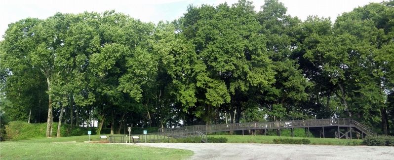
The marker is the left of the two at the new Fort Granger entrance.
Other nearby markers. At least 8 other markers are within walking distance of this marker: A different marker also named Fort Granger (a few steps from this marker); a different marker also named Fort Granger (about 300 feet away, measured in a direct line); a different marker also named Fort Granger (about 300 feet away); a different marker also named Fort Granger (about 400 feet away); a different marker also named Fort Granger (about 400 feet away); a different marker also named Fort Granger (about 500 feet away); General Granger and Emancipation (approx. 0.3 miles away); a different marker also named Fort Granger (approx. 0.3 miles away). Touch for a list and map of all markers in Franklin.
Photographed by Larry Gertner, June 17, 2019
3. Fort Granger Park
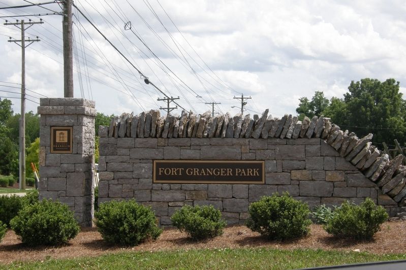
An easier-to-see welcome to Fort Granger park on Eddy lane.
Photographed by Larry Gertner, June 17, 2019
4. To Fort Fort Granger's interior.
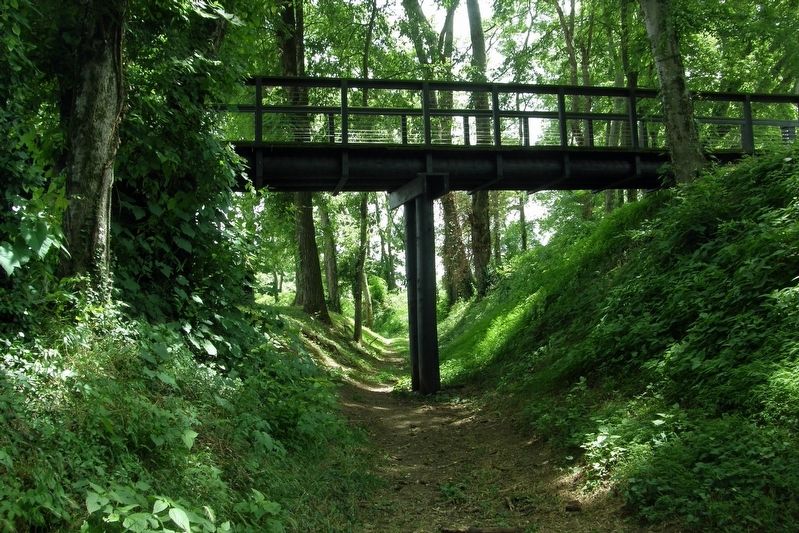
The skywalk avoids damage to the inner and outer earthen walls.
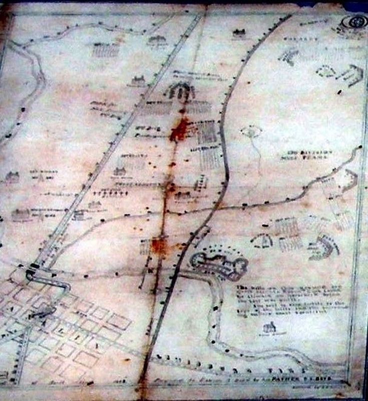
Photographed by Larry Gertner, June 17, 2019
5. Insert
Map of Franklin, Ft. Granger, and army camps, by Samuel S. Boyd
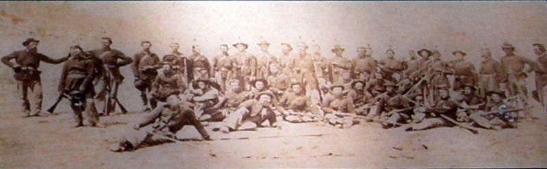
Photographed by Larry Gertner, June 17, 2019
6. Insert
Co. C, 94th Indiana Infantry, with Maj. William Boyd, standing far right.
Credits. This page was last revised on October 25, 2022. It was originally submitted on November 8, 2019, by Larry Gertner of New York, New York. This page has been viewed 609 times since then and 49 times this year. Last updated on October 24, 2022, by Bradley Owen of Morgantown, West Virginia. Photos: 1, 2, 3, 4. submitted on November 8, 2019, by Larry Gertner of New York, New York. 5, 6. submitted on November 10, 2019, by Larry Gertner of New York, New York. • Mark Hilton was the editor who published this page.
