Monroe in Monroe County, Michigan — The American Midwest (Great Lakes)
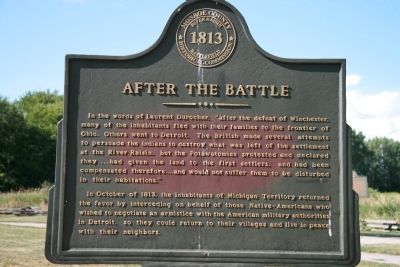
After the Battle
River Raisin Battlefield 1813
In October of 1813, the inhabitants of Michigan Territory returned the favor by interceding on behalf of those Native-Americans who wished to negotiate an armistice with the American military authorities in Detroit, so they could return to their villages and live in peace with their neighbors.
Erected by Monroe County Historical Commission.
Topics. This historical marker is listed in these topic lists: Military • Native Americans • Settlements & Settlers • War of 1812. A significant historical month for this entry is October 1813.
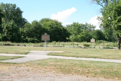
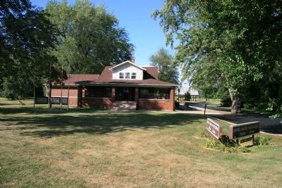
Location. 41° 54.69′ N, 83° 22.543′ W. Marker is in Monroe, Michigan, in Monroe County. Marker can be reached from the intersection of East Elm Street and Detroit Avenue. To view this historical marker exit Interstate 75 at Elm Street Monroe, Michigan exit on the north side of the River Raisin. Proceed west on East Elm Street for 0.5 mile and you should arrive at the River Raisin Battlefield Visitor Center, on your right (the north side of the road). This historical marker, along with several others, is located behind the visitor center in the parking lot area. Touch for map. Marker is at or near this postal address: 1403 East Elm Street, Monroe MI 48162, United States of America. Touch for directions.
Other nearby markers. At least 8 other markers are within walking distance of this marker. Battle of the River Raisin Memorial Bench (here, next to this marker); U.S. 17th Infantry Campsite (within shouting distance of this marker); Skirmish Line (within shouting distance of this marker); a different marker also named Battle of the River Raisin Memorial Bench (within shouting distance of this marker); a different marker also named Battle of the River Raisin Memorial Bench (within shouting distance of this marker); Battles of the River Raisin (within shouting distance of this marker); a different marker also named Battle of the River Raisin Memorial Bench (within shouting distance of this marker); Artillery (within shouting distance of this marker). Touch for a list and map of all markers in Monroe.
Also see . . .
1. Battle of Frenchtown. This web link was both published and made available by, "Absolute Astronomy.com," in it's quest to enable "exploring
the universe of knowledge." (Submitted on July 17, 2009, by Dale K. Benington of Toledo, Ohio.)
2. Remember the River Raisin. This web link is published by "Michigan History Magazine." (Submitted on July 17, 2009, by Dale K. Benington of Toledo, Ohio.)
3. Battle of Frenchtown. This web link is published and made available by "Friends of the River Raisin Battlefield." (Submitted on July 17, 2009, by Dale K. Benington of Toledo, Ohio.)
Credits. This page was last revised on June 28, 2022. It was originally submitted on June 19, 2009, by Dale K. Benington of Toledo, Ohio. This page has been viewed 1,666 times since then and 19 times this year. Last updated on July 17, 2009, by Dale K. Benington of Toledo, Ohio. Photos: 1, 2, 3. submitted on June 19, 2009, by Dale K. Benington of Toledo, Ohio. • Syd Whittle was the editor who published this page.


