Near Salem in Roanoke County, Virginia — The American South (Mid-Atlantic)
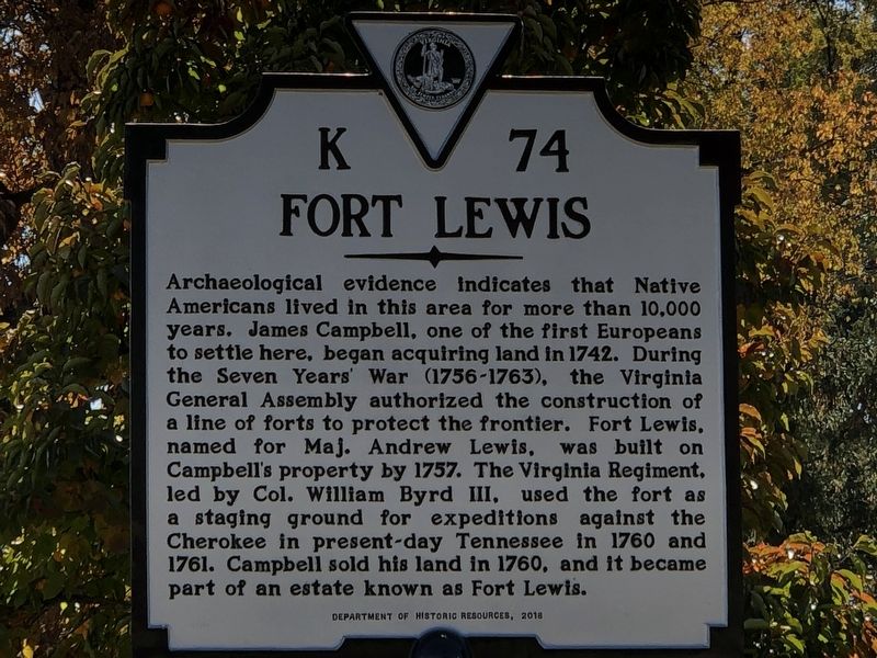
Fort Lewis
Erected 2018 by Virginia Department of Historic Resources. (Marker Number K-74.)
Topics and series. This historical marker is listed in these topic lists: Colonial Era • Forts and Castles • Native Americans. In addition, it is included in the Virginia Department of Historic Resources (DHR) series list. A significant historical year for this entry is 1757.
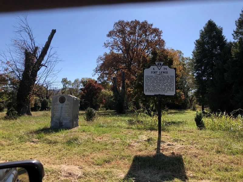
Location. 37° 16.741′ N, 80° 7.295′ W. Marker is near Salem, Virginia, in Roanoke County. Marker is at the intersection of Lee Highway (U.S. 11/460) and Hawley Drive, on the right when traveling east on Lee Highway. There is a short pulloff in front of the marker. Touch for map. Marker is at or near this postal address: 3462 Lee Hwy, Salem VA 24153, United States of America. Touch for directions.
Other nearby markers. At least 8 other markers are within 4 miles of this marker, measured as the crow flies. A different marker also named Fort Lewis (a few steps from this marker); Colonial Mansion Site (within shouting distance of this marker); 9-11-2001 Memorial (approx. 1.2 miles away); Roanoke College (approx. 1.6 miles away); Preston Place (approx. 1.8 miles away); Roanoke College Administration Building (approx. 3.8 miles away); Roanoke County Confederate Monument (approx. 3.8 miles away); World War 1917 - 1919 Memorial (approx. 3.8 miles away). Touch for a list and map of all markers in Salem.
Regarding Fort Lewis. FortWiki entry about Fort Lewis:
(1756 - 1760's), used by the VA colonial militia, garrisoned by 30-50 men, it was 60 feet square with two bastions. Built by Major Andrew Lewis, located 2.5 miles west of downtown. Also known as James Campbell's Fort. Garrisoned by 200 men in 1761.
Also see . . . Around Town: Fort Lewis. In this episode of the Salem Museum and Historical Society's "Around Town" Facebook video series, Alex Burke discusses the colonial fort and the estate that the site later became a part of. The
video also includes footage of the marker's unveiling. (Submitted on November 3, 2022, by Duane and Tracy Marsteller of Murfreesboro, Tennessee.)
Credits. This page was last revised on November 3, 2022. It was originally submitted on November 3, 2022, by Duane and Tracy Marsteller of Murfreesboro, Tennessee. This page has been viewed 292 times since then and 75 times this year. Photos: 1, 2. submitted on November 3, 2022, by Duane and Tracy Marsteller of Murfreesboro, Tennessee.

