Radford, Virginia — The American South (Mid-Atlantic)
Native American Village Site
Photographed by Duane and Tracy Marsteller, October 22, 2022
1. Native American Village Site Marker
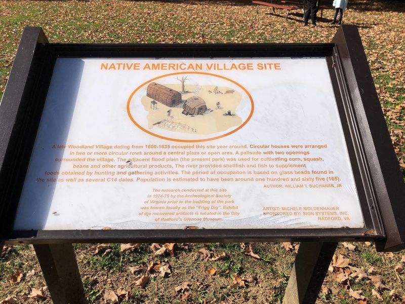
A late Woodland Village dating from 1600-1635 occupied this site year around. Circular houses were arranged in two or more circular rows around a central plaza or open area. A palisade with two openings surrounded the village. The adjacent flood plain (the present park) was used for cultivating corn, squash, beans and other agricultural products. The river provided shellfish and fish to supplement foods obtained by hunting and gathering activities. The period of occupation is based on glass beads found in the site as well as several C14 dates. Population is estimated to have been around one hundred and sixty five (165).
Author: William T. Buchanan, Jr.
The research conducted at this site in 1974-75 by the Archeological Society of Virginia prior to the building of the park was known locally as the “Trigg Dig”. Exhibit of the recovered artifacts is located in the City of Radford's Glencoe Museum.
Artist: Michele Moldenhauer
Erected by Sign Systems, Inc. (sponsor).
Topics. This historical marker is listed in these topic lists: Anthropology & Archaeology • Indigenous Peoples and Communities •
this page online
Location. 37° 8.374′ N, 80° 34.155′ W. Marker is in Radford, Virginia. It is at the intersection of Berkley Williams Drive and New River Drive, on the left when traveling east on Berkley Williams Drive. Marker is near the playground in Bisset Park. Touch for map. Marker is at or near this postal address: 23 Berkley Williams Dr, Radford VA 24141, United States of America. Touch for directions.

Regionally, this marker is in Southwest Virginia and in the Blue Ridge Highlands. It is also in the American South, specifically in the Upper South, in Appalachia, and specifically in Southern Appalachia. Globally, it is in North America, the Western Hemisphere, the Western World, and the Anglosphere. Historically, it finds itself in what was once the territory of the Mississippian Culture, one of the original Thirteen Colonies, one of the Confederate States of America, and the Antebellum South.
Other nearby markers. At least 8 other markers are within walking distance of this marker: Green Ash Tree (within shouting distance of this marker); To Honor All World War I Veterans

Photographed by Devry Becker Jones (CC0), July 4, 2026
2. Native American Village Site Marker
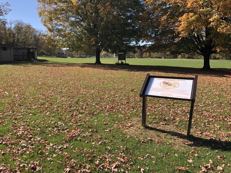
The marker has weathered but remains legible.
Photographed by Duane and Tracy Marsteller, October 22, 2022
3. Native American Village Site Marker
National Park Service (public domain)
4. Trigg Site Artifacts
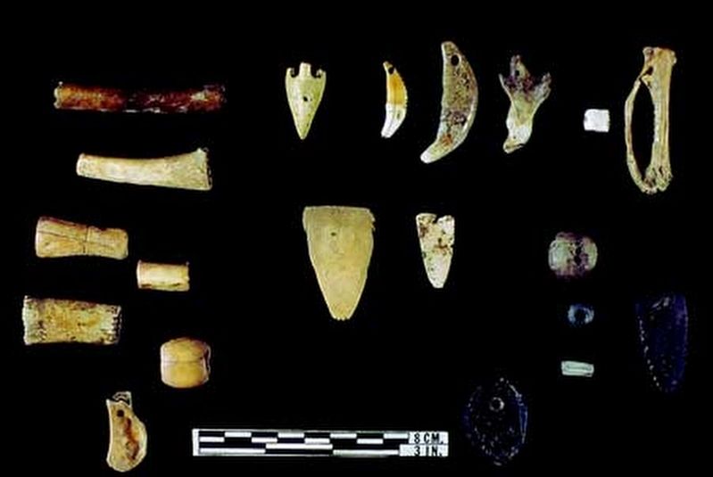
This collection of bone adornment items include polished bird bone and carved/polished bone beads, a squirrel jaw pendant, raptor beak pendants, scapula pendants, drilled mammal canines, and carved tabs.

National Park Service (public domain)
5. Trigg Site Artifacts
These glass trade beads found at the Trigg Site document the variety of ways in which European contact with Native communities spread through the region. While person-to-person contact may not have occurred, trade items such as these beads from other Native groups had spread from Virginia's English settlers to the interior by the mid to late seventeenth-century.
Credits. This page was last revised on July 6, 2026. It was originally submitted on November 3, 2022, by Duane and Tracy Marsteller of Murfreesboro, Tennessee. This page has been viewed 1,842 times since then and 207 times this year. Photos: 1. submitted on November 3, 2022, by Duane and Tracy Marsteller of Murfreesboro, Tennessee. 2. submitted on July 6, 2026, by Devry Becker Jones of Washington, District of Columbia. 3, 4, 5. submitted on November 3, 2022, by Duane and Tracy Marsteller of Murfreesboro, Tennessee.
