Near Hardy in Franklin County, Virginia — The American South (Mid-Atlantic)
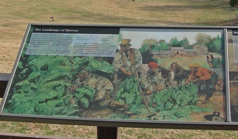
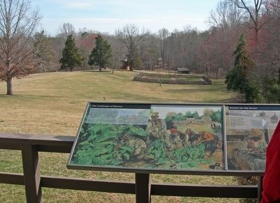
The Landscape of Slavery
Slaves harvest tobacco, the farm's cash crop. The money from tobacco buys fabric from mills, tools from factories, and small luxuries like sugar and tea. And the money buys more slaves.
Labor is short. The owner died this summer, and two of his sons have signed on as Confederate soldiers. Hopeful that Union victory means freedom, slaves pass on news of the war by word of-mouth on the “grapevine telegraph.”
Topics. This historical marker is listed in these topic lists: African Americans • Agriculture • Communications • War, US Civil. A significant historical month for this entry is September 1861.
Location. This marker has been replaced by another marker nearby. It was located near 37° 7.163′ N, 79° 43.895′ W. Marker was near Hardy, Virginia, in Franklin County. Marker could be reached from Booker T. Washington Highway (Virginia Route 122), on the right when traveling east. Marker is at Booker T. Washington National Monument visitor center, on the rear deck. Touch for map. Marker was at or near this postal address: 12130 Booker T Washington Highway, Hardy VA 24101, United States of America. Touch for directions.
Other nearby markers. At least 8 other markers are within walking distance of this location. Slavery on the Plantation (here, next to this marker); Booker T. Washington National Monument (a few steps from this marker); How Tobacco Farms Used Slavery (within shouting distance of this marker); Freed Here, At Last (within shouting distance of this marker); Booker T. Washington's Birthplace (within shouting distance of this marker); Booker T. Washington Birthplace (about 800 feet away, measured in a direct line); Jack-O-Lantern Branch Trail (approx. ¼ mile away); I think that I owe a great deal of my present strength and ability to work to my love of... (approx. 0.7 miles away). Touch for a list and map of all markers in Hardy.
Related marker. Click here for another marker that is related to this marker. New Marker At This Location titled "Slavery on the Plantation".
Credits. This page was last revised on November 7, 2022. It was originally submitted on May 8, 2021, by Duane and Tracy Marsteller of Murfreesboro, Tennessee. This page has been viewed 118 times since then and 12 times this year. Last updated on November 5, 2022. Photos: 1, 2. submitted on May 8, 2021, by Duane and Tracy Marsteller of Murfreesboro, Tennessee. • Bernard Fisher was the editor who published this page.

