Hardy in Franklin County, Virginia — The American South (Mid-Atlantic)
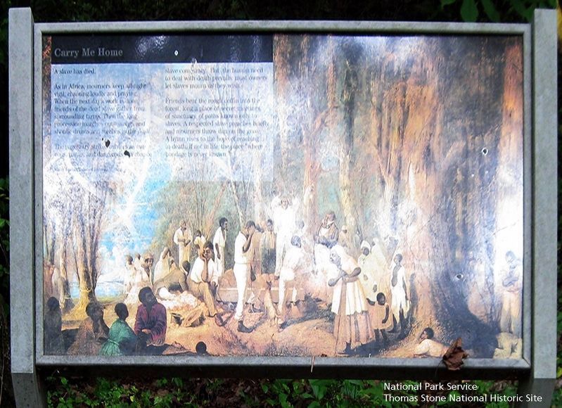
Carry Me Home
National Park Service, Thomas Stone National Historic Site, August 18, 2018
1. Carry Me Home Marker
Viewing marker from the north.
Background image shows an African American burial.
A slave has died.
As in Africa, mourners keep all-night vigil, chanting loudly and praying. When the next day's work is done, friends of the dead slave gather from surrounding farms. Then the long procession marches out—songs and shouts, drums and torches in the dusk.
The pageantry strikes owners as raucous, pagan, and dangerous—a chance slave conspiracy. But the human need to deal with death prevails most owners to let slaves mourn as they wish.
Friends bear the rough coffin into the forest, long a place of secret meetings, of sanctuary, of paths only known to slaves. A respected slave preaches briefly and mourners throw dirt on the grave. A hymn rises to the hope of reaching in death, if not life, the place "where bondage is never known."
Erected by National Park Service, U.S. Department of the Interior.
Topics. This historical marker is listed in these topic lists: African Americans • Anthropology & Archaeology • Cemeteries & Burial Sites.
Location. Marker has been permanently removed. It was located near 37° 6.946′ N, 79° 43.817′ W. Marker
this page online
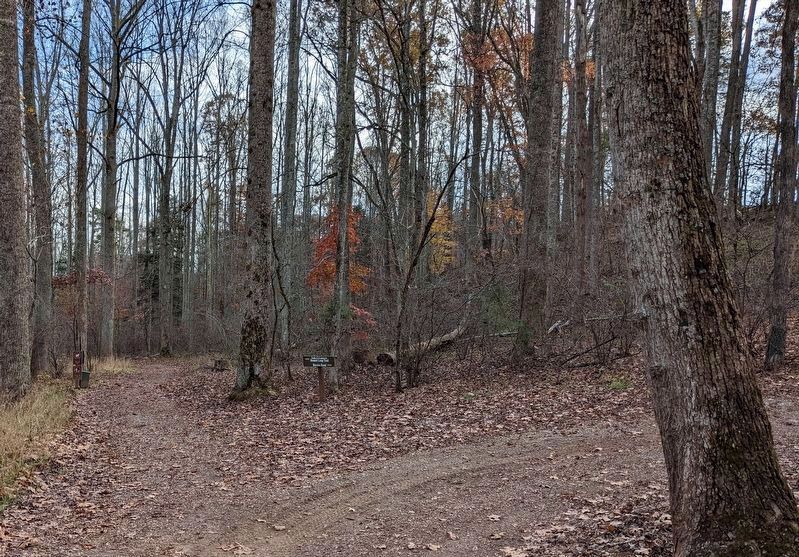
We have been informed that this marker is no longer there and will not be replaced. This page is an archival view of what was.
Regionally, this marker was in Southern Virginia. It was also in the American South and specifically in the Upper South. Globally, it was in North America, the Western Hemisphere, the Western World, and the Anglosphere. Historically, it found itself in what was once the territory of the Mississippian Culture, one of the original Thirteen Colonies, one of the Confederate States of America, and the Antebellum South.

Other nearby markers. At least 8 other markers are within walking distance of this location: Jack-O-Lantern Branch Trail (within shouting distance of this marker); Curing Tobacco
National Park Service, Thomas Stone National Historic Site, August 18, 2018
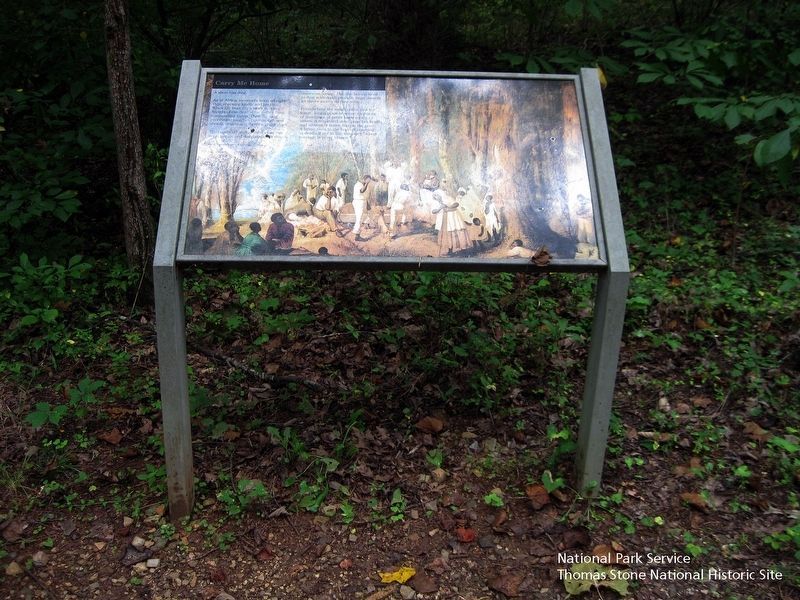
2. Carry Me Home Marker
Viewing marker from the north.
Background image shows an African American burial.
Other markers no longer nearby. Freed Here, At Last (was approx. ¼ mile away but has been replaced with another marker now near it); How Tobacco Farms Used Slavery (was approx. ¼ mile away but has been replaced with another marker now near it).
Also see . . .
1. Booker T. Washington National Monument, National Park Service. (Submitted on August 16, 2019.)
2. Dr. Booker Taliaferro Washington, Tuskegee University. (Submitted on August 16, 2019.)
3. Booker T. Washington National Monument, National Register of Historic Places. (Submitted on August 17, 2019.)
November 2, 2022
3. Marker has been removed from this location.
National Park Service, Thomas Stone National Historic Site, August 18, 2018
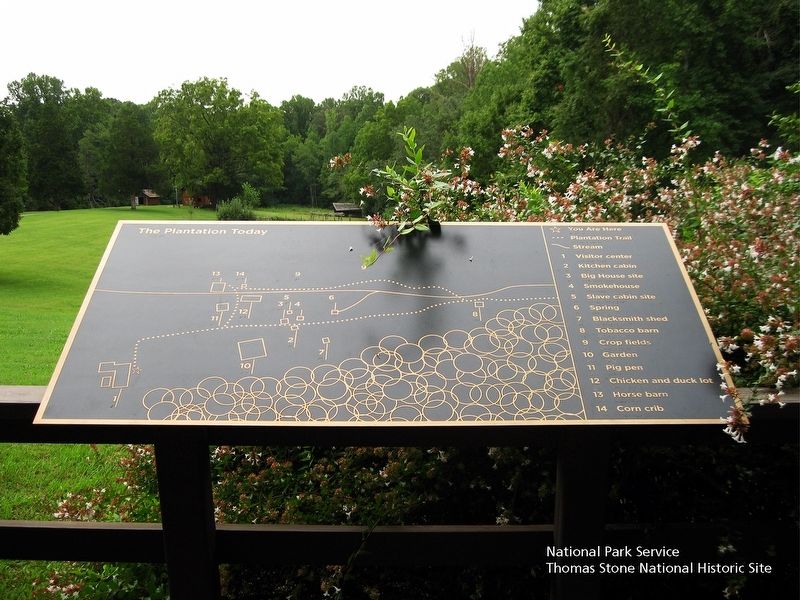
4. Plantation Today map
Located behind the Visitor Center. Viewing from the north.
National Park Service, Thomas Stone National Historic Site, August 18, 2018
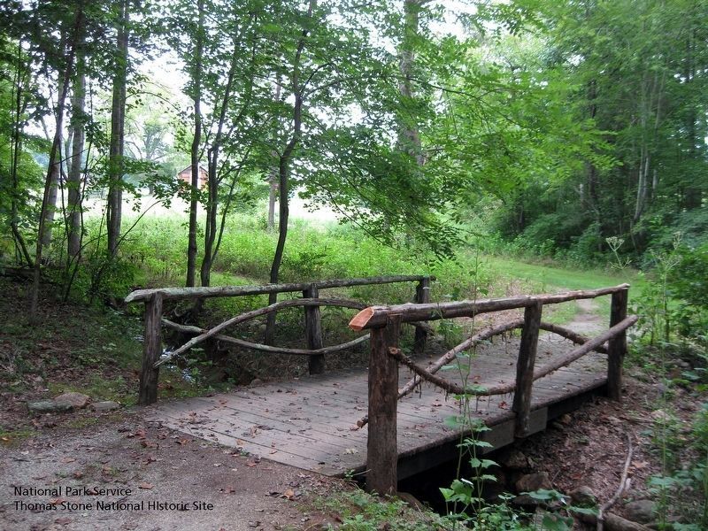
5. This bridge is crossed in approach to marker.
Viewing from the north.
National Park Service, Thomas Stone National Historic Site, August 18, 2018
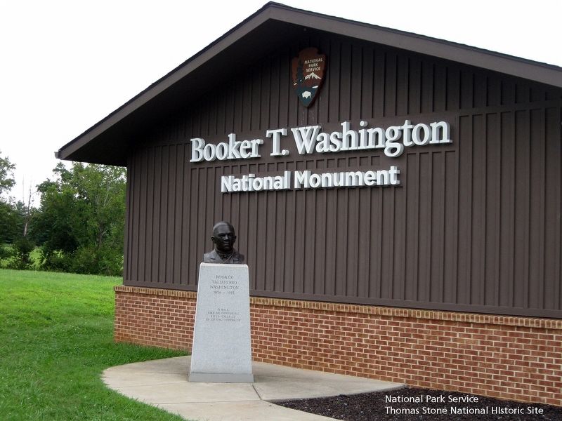
6. Booker Taliaferro Washington Memorial and exterior of Visitor Center
Viewing from the north.
Credits. This page was last revised on April 30, 2026. It was originally submitted on August 16, 2019. This page has been viewed 440 times since then and 22 times this year. Last updated on November 5, 2022. Photos: 1, 2. submitted on August 16, 2019. 3. submitted on November 5, 2022. 4, 5, 6. submitted on August 16, 2019. • Bernard Fisher was the editor who published this page.
